6 m away
La Plata Canyon: Short Route
A beautiful winter backcountry getaway close to Durango.
Moderate Fat biking
- Distance
- 11 km
- Ascent
- 182 m
- Descent
- 182 m
A beautiful winter backcountry getaway close to Durango.
Fat biking Severe

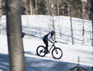
One of the most popular fat biking spots near Durango, Colorado, is La Plata Canyon. This gated dirt road winds deep into the gorgeous La Plata Mountains, eventually climbing above treeline to the top of Kennebec Pass. In the winter, the gate on the road is closed, restricting public traffic to over-snow travel.
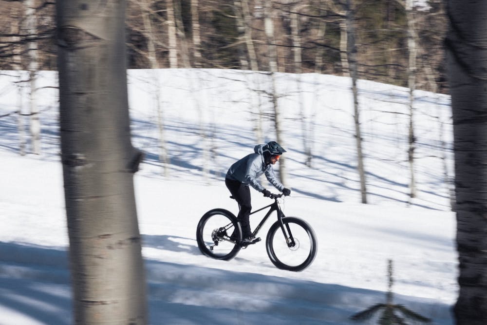
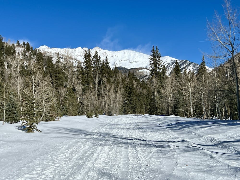
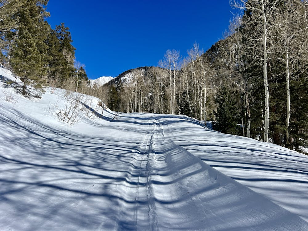
La Plata Canyon sees a substantial amount of snowmobile, cross country ski, backcountry ski, snowshoe, and fat bike traffic, which keeps the road pretty well packed in after a storm. While the conditions can be variable on a fat bike, the towering mountain peaks, forests, and the frozen stream in the bottom of the canyon make this a very attractive backcountry winter destination.
The route shown here runs from the gate where the plow truck stops all the way to the top of Kennebec Pass. While it's theoretically possible to ride this entire 18-mile out-and-back distance, it's more likely that you'll get about 3 to 3.5 miles out and then turn around. Even if you only ride 6 or 7 miles round-trip, it will feel like a much longer and wilder adventure thanks to the towering mountains all around you, ghost town cabins lining the road, and soft snow and short, steep hills to power through.
At times, the pedaling is sure to be difficult in La Plata Canyon. There's no regular grooming on this road, meaning that the conditions are quick to change, and it's tough to know what you're getting into. But if you bring an attitude of adventure, you're still in for a fun time!
Severe

The path is on completely flat land and potential injury is limited to falling over.

Away from help but easily accessed.
6 m away
A beautiful winter backcountry getaway close to Durango.
Moderate Fat biking