4 routes · Fat biking
Fat bike a groomed section of the Breckenridge Recreational Path.
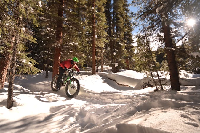
Fat biking Easy

The “recpath" from Frisco to Breckenridge is groomed during the winter, thanks to a combined effort by "Summit County, the U.S. Forest Service and the towns of Breckenridge and Frisco,” according to Summit County. This routine grooming provides a popular local route for a quick hit after work, or even on a lunch break. While popular with snowshoers and cross country skiers, the groomed path makes for an excellent, easy fat bike ride as well.
While the entire path tends to get traffic-packed, according to the Summit County website, “the groomed section of the Recpath now extends from the new Dickey Day Use parking area at the top of the Frisco Adventure Park to the Breckenridge Recreation Center, offering over 8 miles of fee free, winter recreation.” The route as mapped here is an out-and-back ride on this noted section of the recpath.
Since the grade is so gradual, the recpath is the perfect spot to dip your toe into the waters of fat biking! Without any challenging hills, you can focus on getting used to the feeling of big tires on slippery, snowy surfaces. The grooming and popularity of the recpath keep the snow surface firm and predictable, which also helps eliminate challenging variables that new riders might not enjoy.
For an even longer ride, connect to the singletrack trails just above the town of Breckenridge, which tend to get packed out quickly by local trail users.
Easy

The path is on completely flat land and potential injury is limited to falling over.
Close to help in case of emergency.
4 routes · Fat biking