3.1 km away
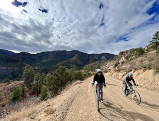
Arkansas Riverwalk to Tunnel Drive
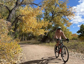
An easy but incredibly scenic gravel ride through Canon City and into the Royal Gorge.
Easy Gravel Biking
- Distance
- 25 km
- Ascent
- 283 m
- Descent
- 283 m
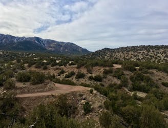
A bite-sized gravel loop providing a quick dose of wilderness, just a few miles from Canon City.
Gravel Biking Moderate

This bite-sized gravel loop departs directly from downtown Canon City. While the hustle and bustle of Highway 50 and the downtown businesses in Canon City can be cacophonic, after pedaling a short ways out of town the noise and traffic miraculously disappears behind you. In just a few miles, you'll be pedaling through undeveloped arid mountains, with stunning views of tree-covered ridges all around you.
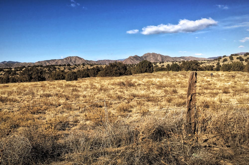
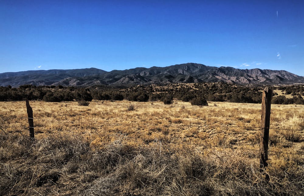
Aside from some ranch land, there's nary a sign of humanity for miles. Rock cliffs and sandy washes dominate the landscape, and may even prompt you to whip out your phone for a photo. That said, the roads are very well maintained, with regular grading and a very predictable surface. And even though the route traces several valleys through rolling mountains, the amount of climbing is very mild by Colorado standards—just 1,000 vertical feet in 15 miles.
The transition from the wilderness of the mountains to the small podunk town of Rockvale is almost immediate. After rolling through this rundown town, you'll connect via a series of paved roads back to the bike path to complete the loop.
Moderate

Away from help but easily accessed.
3.1 km away
An easy but incredibly scenic gravel ride through Canon City and into the Royal Gorge.
Easy Gravel Biking
3.2 km away
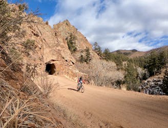
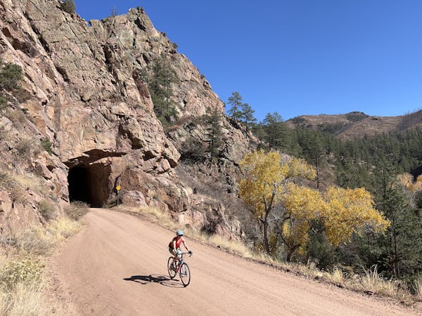
World-class gravel riding in Canon City!
Difficult Gravel Biking
4.2 km away
A rough, remote gravel road passing through beautiful rolling mountains.
Moderate Gravel Biking
4.2 km away
An ambitious out-and-back gravel ride to Westcliffe.
Moderate Gravel Biking
6 routes · Gravel Biking