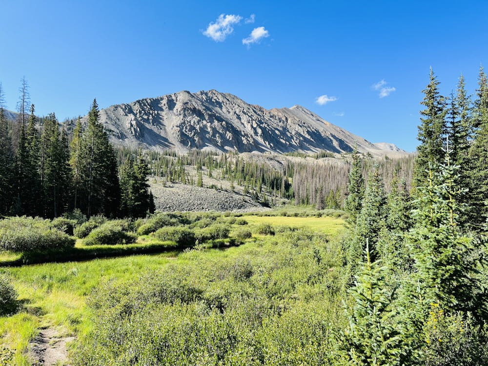
9.9 km away
Alpine Tunnel
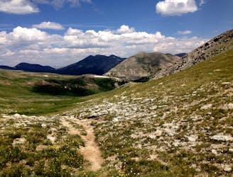
Hike to the remnants of North America's highest railroad tunnel.
Difficult Hiking
- Distance
- 10 km
- Ascent
- 275 m
- Descent
- 275 m
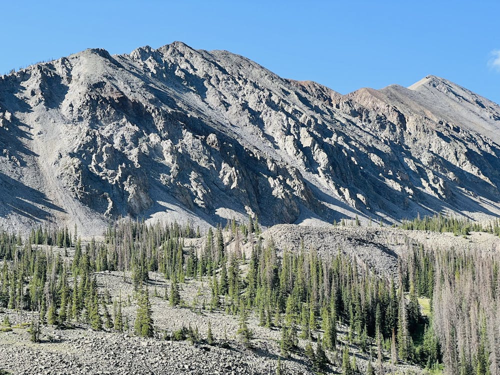
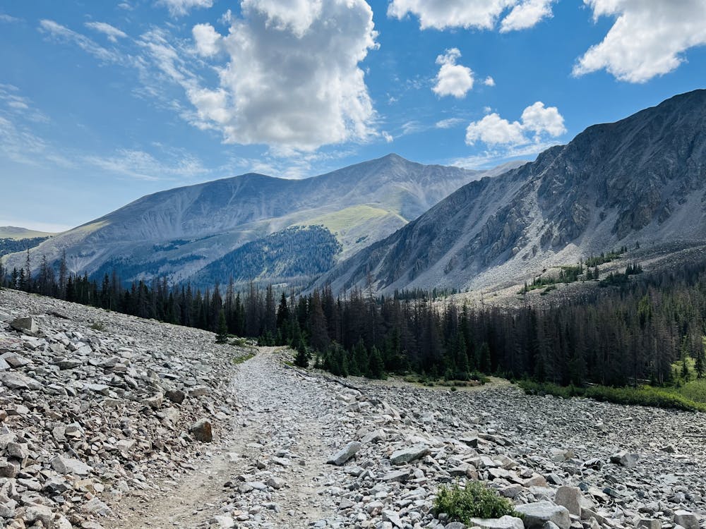
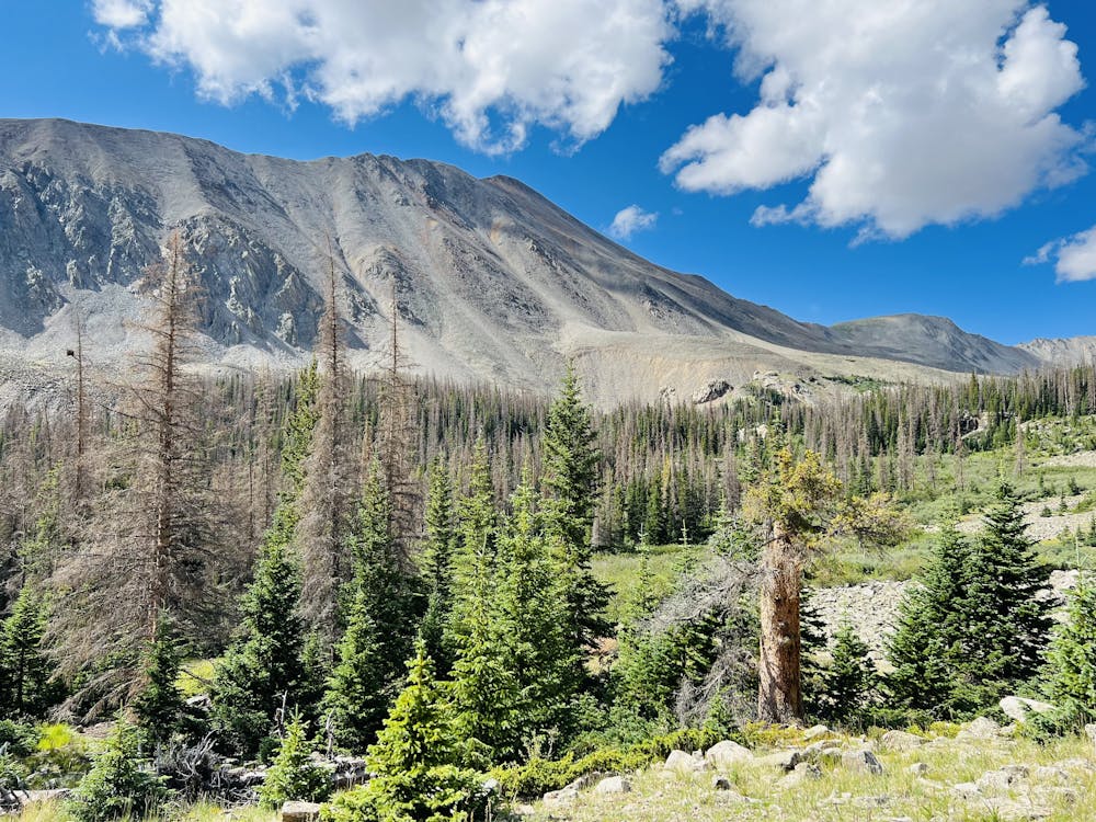
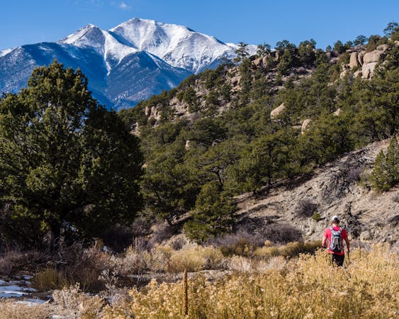
Baldwin gulch road (277) to the Baldwin lakes
Hiking Moderate

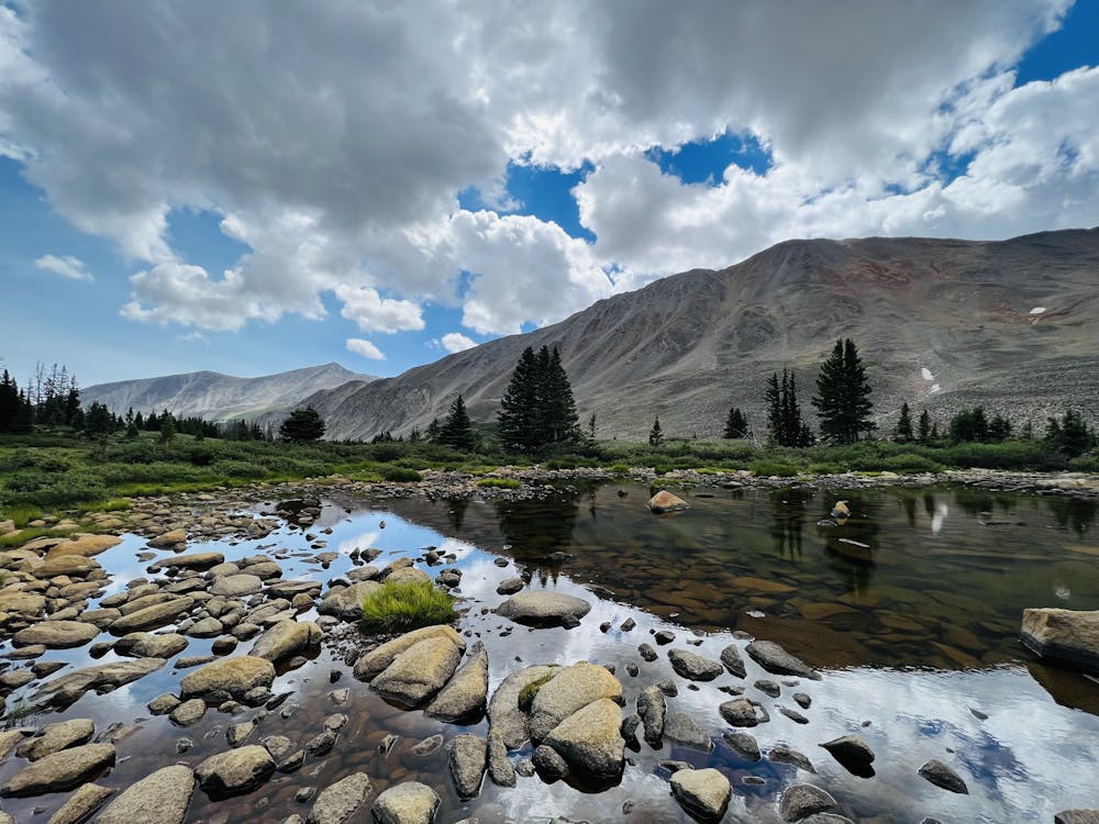
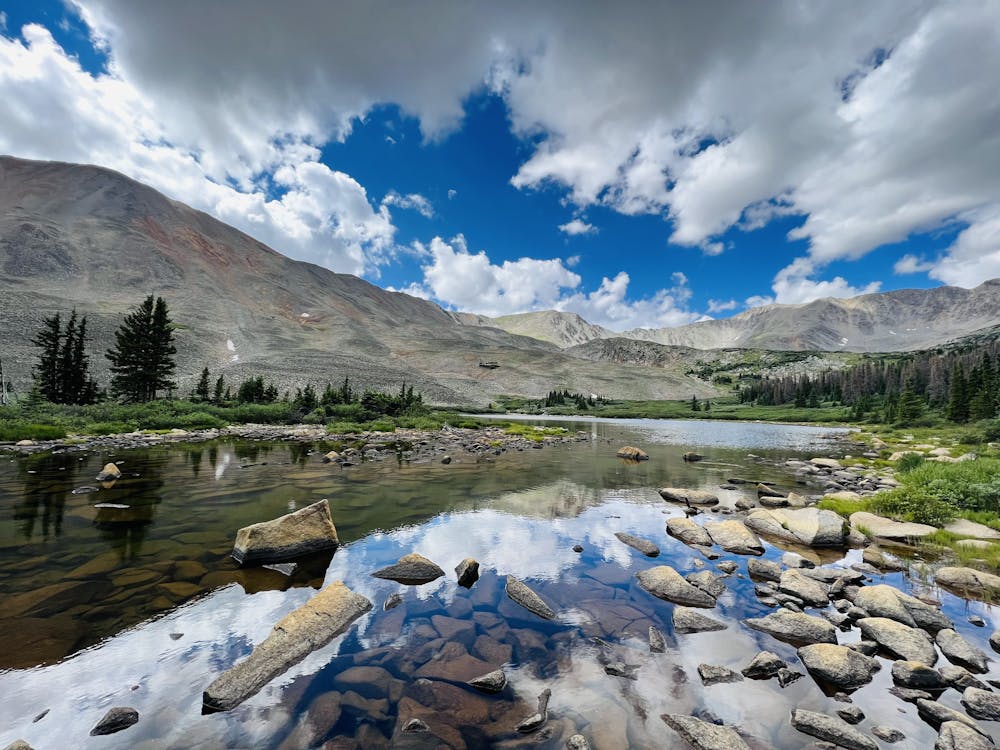
A 10 mile out and back that follows the Baldwin gulch 4wd trail (277) up to Baldwin lakes. Most 4wd traffic slows after FR 278 up to Mt Antero. A steady uphill route with Baldwin creek always present. This trail doesn't level out often but rewards you with excellent alpine views.
Moderate
Hiking along trails with some uneven terrain and small hills. Small rocks and roots may be present.

The path is on completely flat land and potential injury is limited to falling over.

Away from help but easily accessed.
9.9 km away
Hike to the remnants of North America's highest railroad tunnel.
Difficult Hiking
11 routes · Alpine Climbing · Hiking