13 routes · Hiking
Explore a local landmark and enjoy some big mountain views
Hiking Moderate

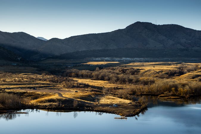
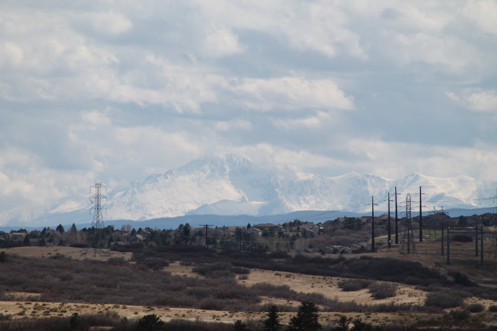
Nestled within the suburban landscape of Douglas County, the Bluffs Regional Park Trail provides a welcome respite from the hustle and bustle of city life. The trailhead is easily accessible from the parking area off Lincoln Avenue, but despite the ease of access you'll get huge, sweeping views of the Front Range of the Rocky Mountains, including iconic peaks such as Pikes Peak and Longs Peak.
The Bluffs Regional Park Trail is a multi-use trail, open to hikers, runners, cyclists, and even horse riders. The wide and well-maintained pathway is suitable for users of all ages and abilities, with gentle inclines and smooth surfaces all the way.
Whether you're seeking a peaceful nature walk, a brisk hike, or a scenic spot for a picnic, the Bluffs Regional Park Trail has something for everyone to enjoy.
Moderate
Hiking along trails with some uneven terrain and small hills. Small rocks and roots may be present.

The path is on completely flat land and potential injury is limited to falling over.

Away from help but easily accessed.
13 routes · Hiking