4 routes · Hiking
A long loop around Tremont Mountain in Golden Gate Canyon State Park.
Hiking Difficult

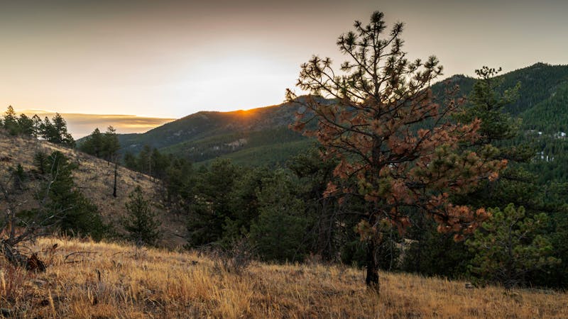
Golden Gate Canyon State Park is a haven for hikers and runners, protecting some of the most beautiful terrain on the Colorado Front Range. The park is separated from the urban centers and metropolitan sprawl of the Denver area, but it's still only 14 miles up the road from the town of Golden.
The park is home to a slew of fantastic trails, but many of them combine into shorter routes or out-and-backs. If you're looking for a big day out in the park and don't like retracing your steps, this 13-mile loop is the perfect route for you!
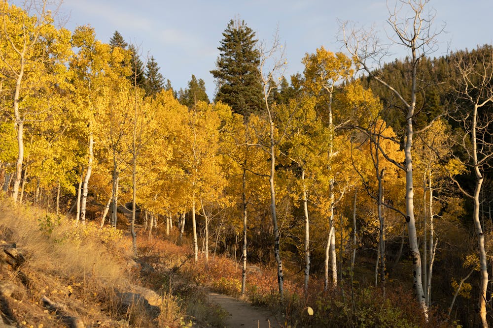
This gorgeous loop offers varied terrain ranging from steep mountainsides, towering pine forests, whispering aspen groves, wide-open meadows, and panoramic views from high points.
The loop begins at a lower trailhead near the junction of Golden Gate Canyon Road and Crawford Gulch Road. From there, it climbs high into the state park, visiting the iconic Panorama Point overlook before continuing to a high point on the Mule Deer Trail on the flanks of Tremont Mountain. While this hike is far from a peak climb, it still gains a respectable 2,700+ vertical feet over its 13-mile distance.
Difficult
Hiking trails where obstacles such as rocks or roots are prevalent. Some obstacles can require care to step over or around. At times, the trail can be worn and eroded. The grade of the trail is generally quite steep, and can often lead to strenuous hiking.

The trail contains some obstacles such as outcroppings and rock which could cause injury.
Away from help but easily accessed.
4 routes · Hiking

25 routes · Hiking