5 routes · Alpine Climbing · Hiking
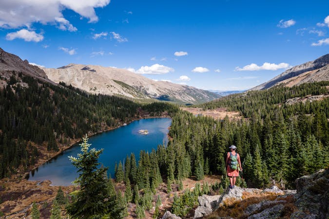
A remarkably beautiful hike beginning in downtown Buena Vista.
Hiking Severe

Midland Hill is a remarkably beautiful hike, considering that it begins right in downtown Buena Vista. From the whitewater park, head straight uphill, and after a few miles of climbing you'll arrive at the top of 9,556-foot Midland Hill, some 1,600 feet above the town of Buena Vista
The beginning of the hike crosses the bridge at the Whitewater Park and follows the main Whipple Trail through the Whipple Trail System. After crossing the gravel road, the route follows the Broken Boyfriend trail briefly before turning right onto the Midland Hill Trail.
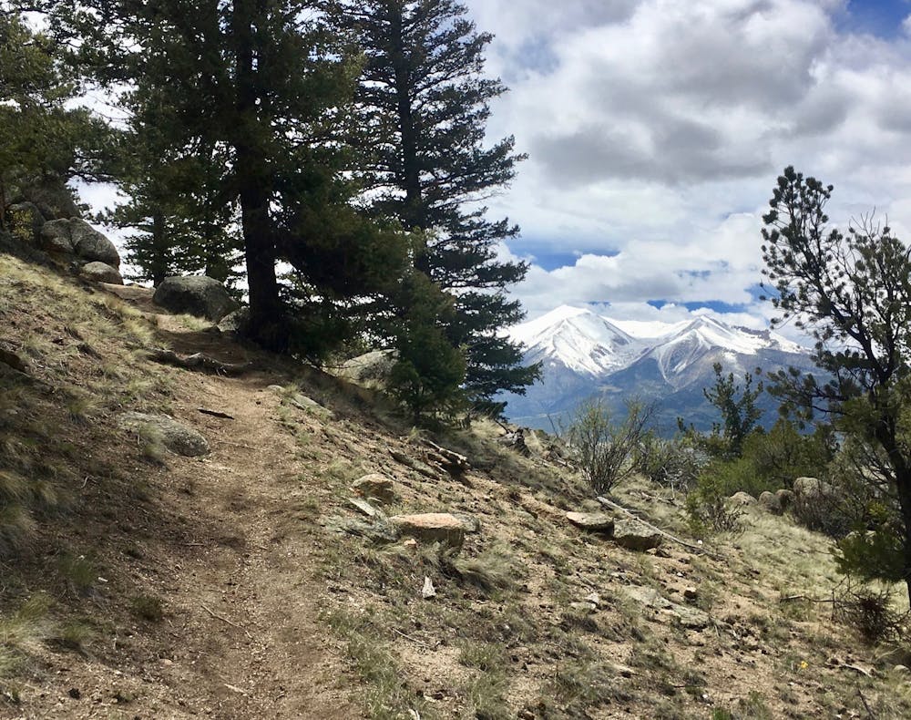
From here, the climbing begins in earnest. The dry, high desert environment means the trail consists of all sorts of rough rock and quite a bit of sand. Ledgy steps alternate with big boulders and some rock slabs, providing a steep ascent, but with relatively sure footing.
As the trail climbs higher, it drops into some sheltered coves that harbor massive ponderosa pines. These tall trees seem out of place in the sea of scrubby pinon pines and cacti, soaring over a hundred feet into the sky.
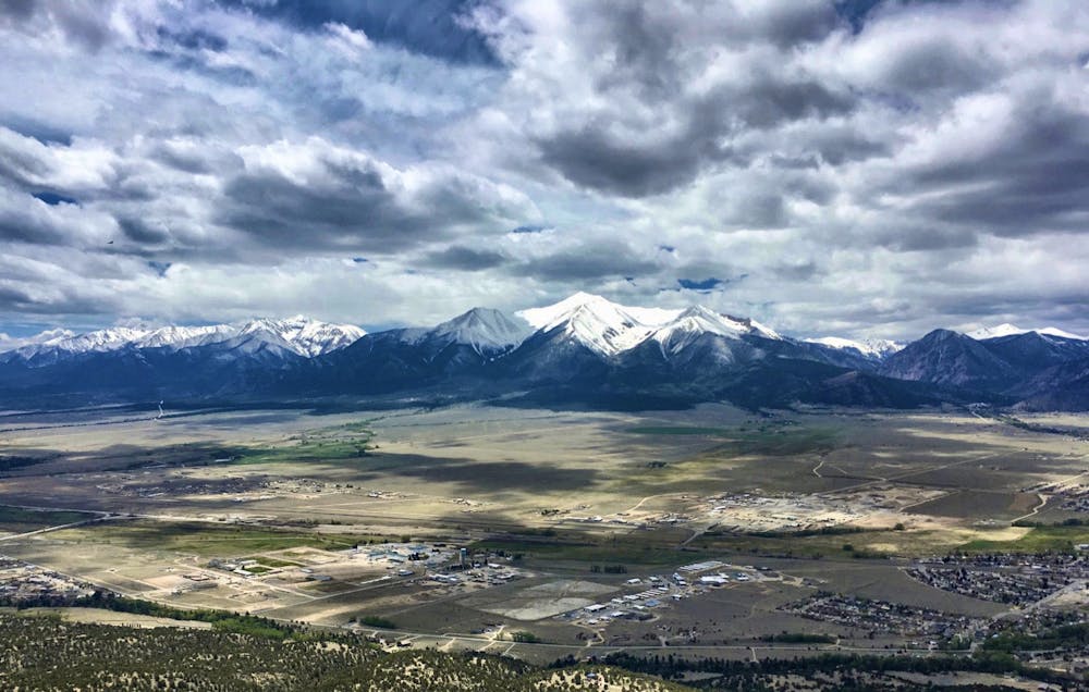
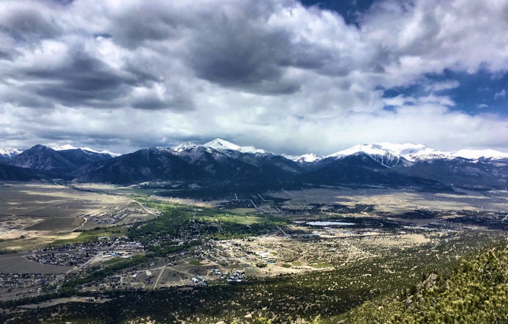
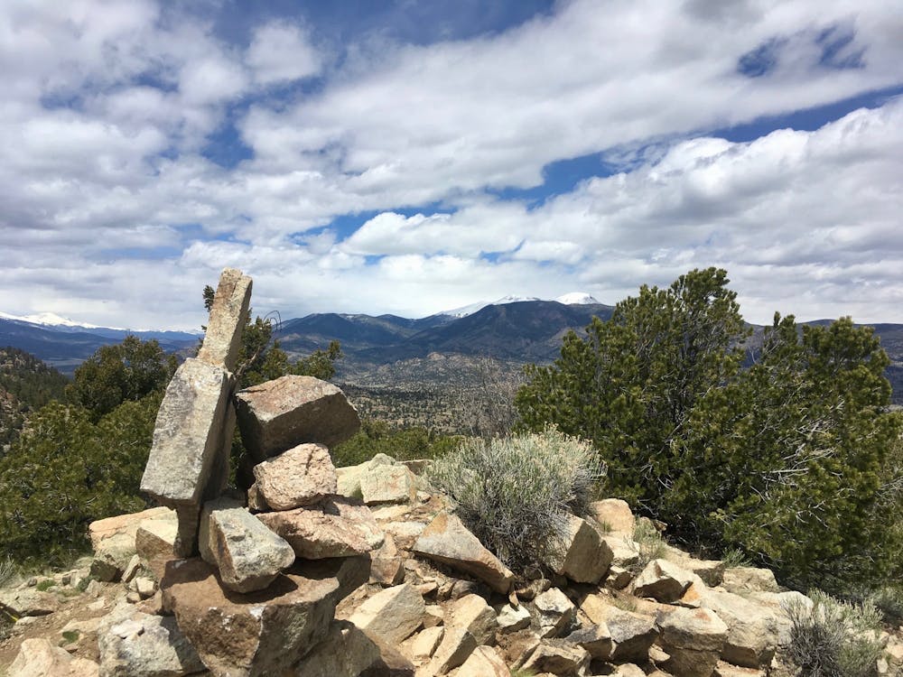
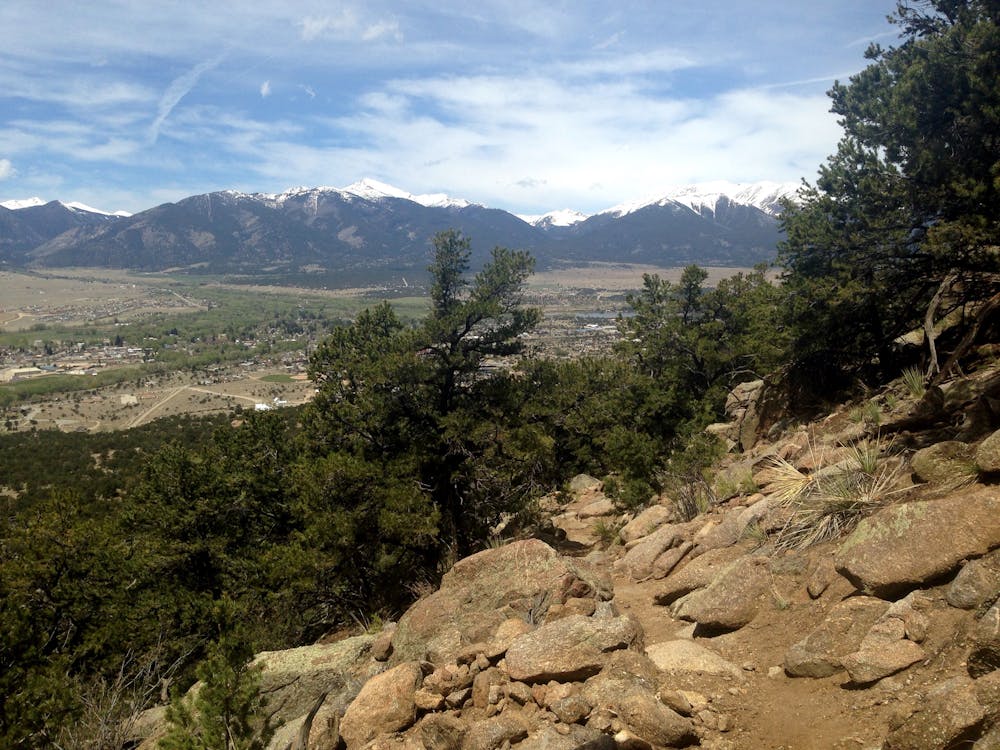
After gaining the saddle, the trail turns hard right and climbs up and around the summit, topping out with an incredible view of Buena Vista below, the Sawatch Range on the other side of the valley, and the Mosquito Range to the north and west.
At less than 10,000 feet the sheer height of Midland Hill isn't on par with the nearby 14,000-foot mountain peaks, but the view from the summit is well-worth taking your time to soak in and enjoy!
Severe
Hiking challenging trails where simple scrambling, with the occasional use of the hands, is a distinct possibility. The trails are often filled with all manner of obstacles both small and large, and the hills are very steep. Obstacles and challenges are often unexpected and can be unpredictable.

The trail contains some obstacles such as outcroppings and rock which could cause injury.

Close to help in case of emergency.
5 routes · Alpine Climbing · Hiking