2.6 km away
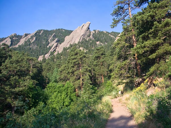
Green Mountain via Gregory Canyon
A loop to the top of Boulder's most iconic mountain.
Severe Hiking
- Distance
- 7.7 km
- Ascent
- 707 m
- Descent
- 707 m
A quintessential Boulder hiking route.
Hiking Severe

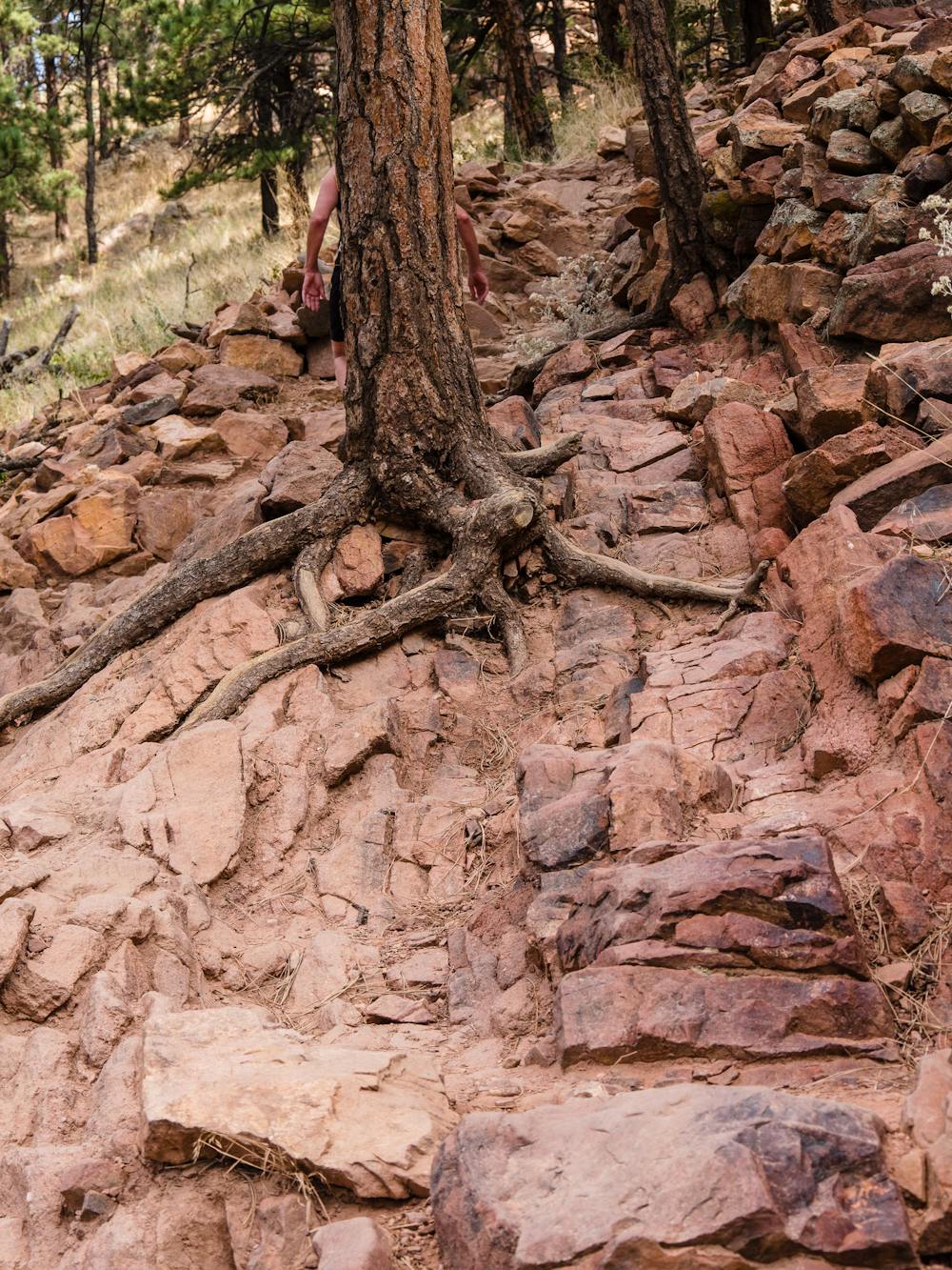
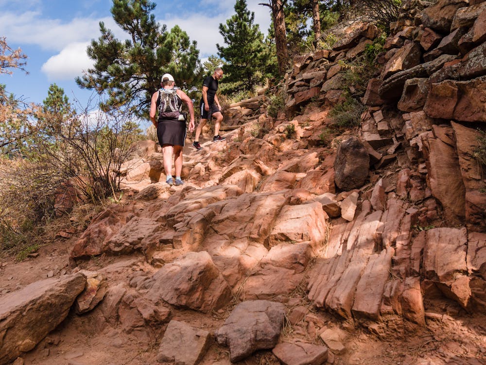
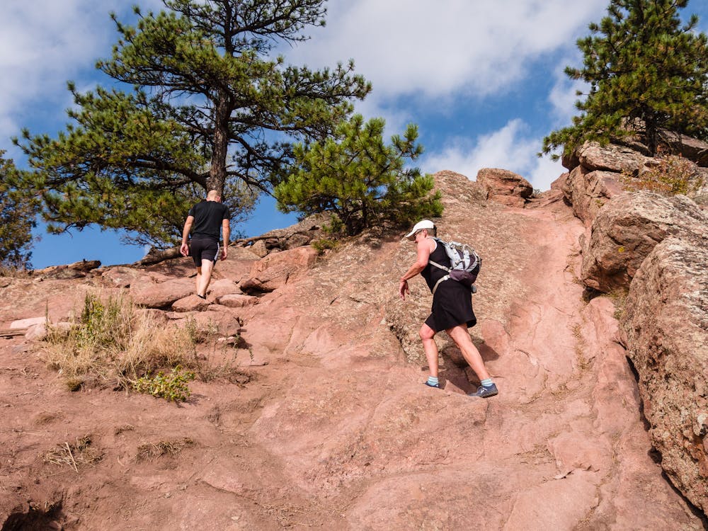
To begin this iconic urban summit loop, cross the paved road from the trailhead to the picnic shelter, and look for the signed Ridge Trail. Here, the route launches 1,350 feet upward via many, many log and rock steps to the 6,483-foot summit of Boulder's Mt. Sanitas.
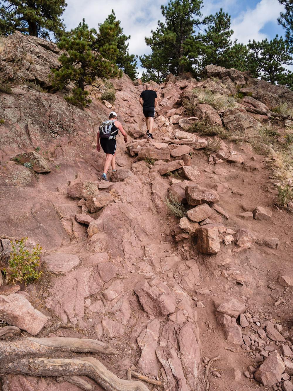
Despite the huge number of people hiking or running up this local favorite, the 3.4-mile loop route is well worth hitting up when visiting Boulder, CO. The hike is located just at the edge of the city, making it easy to get to even during an extended lunch break.
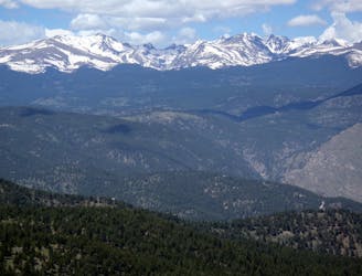
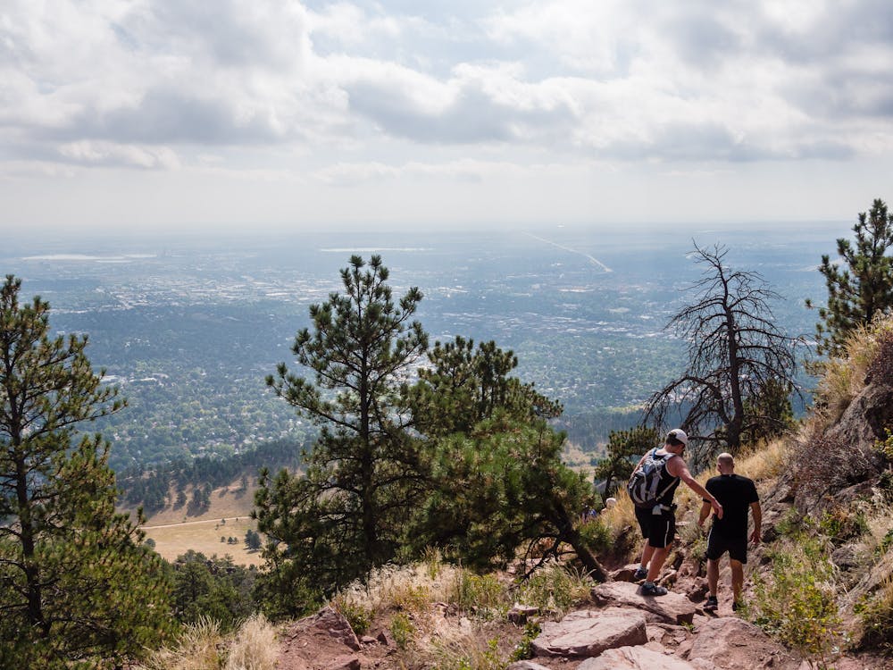
The immediacy of the steep, relentless steps makes it quite understandable to stop on the way up to drink in the views. A wonderful opportunity exists about halfway up; expansive views of Boulder lie below. On a clear day, look for the mountains in the Front Range and maybe even Denver's skyscrapers. If so inclined, it is possible to scramble just a tad higher on the rocks before continuing the hike.
After gaining more than 1,350 feet over less than 1.5 miles, enjoy the summit with seemingly much of Boulder's active population. Look for the East Ridge Trail for the steep, loose, rocky descent down to the Sanitas Valley Trail. Trekking poles are very helpful on this descent!
After the steep ascent and descent, the wide, graveled, mellow-grade Sanitas Valley Trail is a perfect way to cool down before getting back in your vehicle.
With the trailhead at the edge of this crazy-active city, the parking areas, even midweek in September, will likely be full. Consider yourself lucky to nab one of the 25 spots at the Centennial Park trailhead, 0.3 miles west of the intersection of Mapleton Avenue and 4th Street on Mapleton Avenue. Perhaps a wiser idea is to take public transportation; an RTD bus passes very close to this trailhead. https://bouldercolorado.gov/osmp/taking-the-bus-to-osmp
Severe
Hiking challenging trails where simple scrambling, with the occasional use of the hands, is a distinct possibility. The trails are often filled with all manner of obstacles both small and large, and the hills are very steep. Obstacles and challenges are often unexpected and can be unpredictable.

Some trail sections have exposed ledges or steep ascents/descents where falling could cause serious injury.

Away from help but easily accessed.
2.6 km away
A loop to the top of Boulder's most iconic mountain.
Severe Hiking
7 routes · Hiking
6 routes · Alpine Climbing · Hiking
7 routes · Hiking