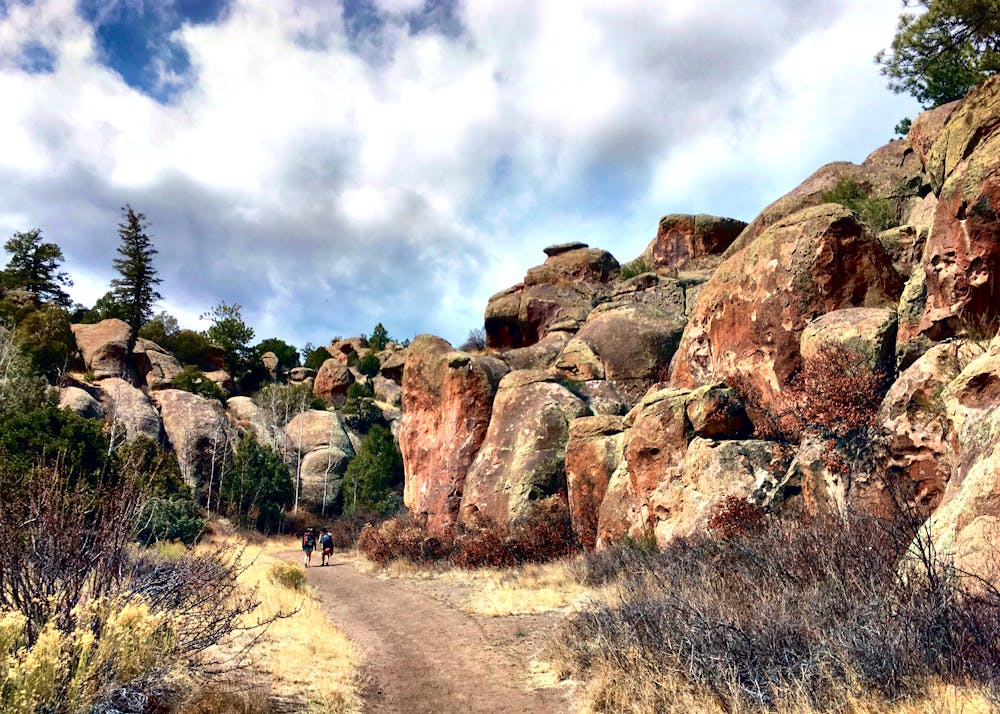
Penitente Canyon
Salida
Hike between the towering rock walls of Penitente Canyon.
Hiking Difficult
- Distance
- 3.7 km
- Ascent
- 100 m
- Descent
- 100 m
- Duration
- 0-1 hrs
- Low Point
- 2.4 km
- High Point
- 2.5 km
- Gradient
- 5˚

Penitente Canyon is best-known as a sport climbing hotspot. With routes ranging from easy to difficult, the rock climbing access here is easy and the canyon is simply stunning.
- •
- •
- •
Description
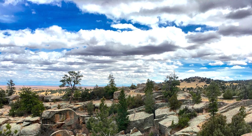
However, Penitente is quickly becoming known for a totally different aspect: it’s trail system. The ever-expanding trail network spreads through and around the canyon system, running through smaller canyons and making excellent use of the unique geology of the area.
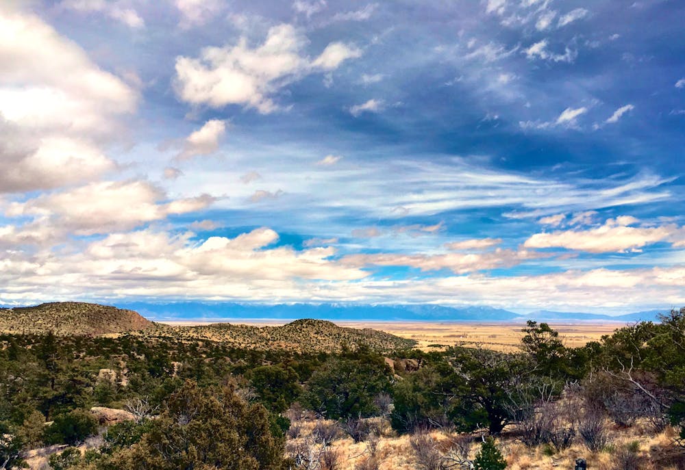
The environment here is unequivocally high desert, meaning it offers superb weather and plenty of sunshine in the spring and fall. During the winter, the San Luis Valley actually gets bitter-cold due to inversion from the towering mountains, so during mid-winter Penitente isn’t a great choice. Similarly, the fall is blazing-hot, with temperatures often breaking 100 degrees.
You can craft hiking routes of varying difficulty and length in this area. The route mapped here runs through the bottom of the canyon, where the hiking is very easy. But then, the trail climbs abruptly out of the canyon, requiring some light scrambling.
As the trail wraps around the canyon rim, the trail tread is rocky, but the hiking is easy and the views entertaining.
Finally, the route mapped here drops back steeply into the canyon, requiring full engagement of your limbs for technical down-climb scrambling. There are other easier (but longer) routes that drop into the canyon, and even more difficult routes than this. If you do choose to scramble—especially down some of the rocks—be sure to proceed with caution. Many of the rocks here end in sheer cliffs—hence the technical rock climbing the area is known for.
Thanks to a well-developed campground right at the trailhead and entrance to the canyon, Penitente is quickly becoming a mini adventure destination in its own right. Over the coming years, it will only continue to get better: many more trails are already being flagged and planned!
Difficulty
Difficult
Hiking trails where obstacles such as rocks or roots are prevalent. Some obstacles can require care to step over or around. At times, the trail can be worn and eroded. The grade of the trail is generally quite steep, and can often lead to strenuous hiking.
Medium Exposure

The trail contains some obstacles such as outcroppings and rock which could cause injury.
Remoteness
Away from help but easily accessed.
Best time to visit
Features
- Picturesque
- Dog friendly