5 routes · Alpine Climbing · Hiking
Climb America's Mountain on one of the longest 14er hikes in the state.
Hiking Severe

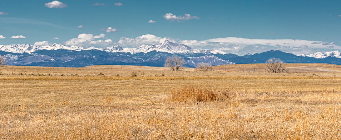
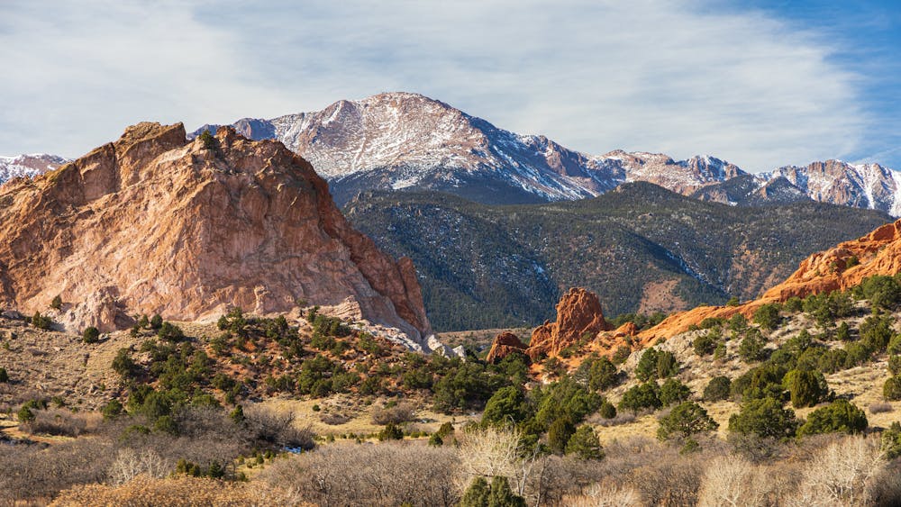
Pikes Peak, aka America’s Mountain, is one of the most iconic monoliths in the nation. Soaring over 8,000 feet above Colorado Springs far, far below, this impressive mountain beckons hikers from around the world to make an attempt on its summit.
The Barr Trail begins by climbing through Colorado Springs’ classic decomposed kitty litter soil, switchbacking across the dry lower slopes. As the trail climbs, it gets progressively rockier, although all of the obstacles can easily be hiked over. In the mid-elevations, the trees provide some welcome cover from the hot sun.
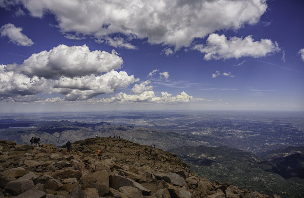
Eventually, the trail will break out of the trees and traverse the rocky, scree-filled slope on its way toward the summit. The amount of trail above treeline is quite substantial on this hike, so remain ultra-aware of what the weather is doing around you. You may encounter some boulder obstacles on the upper section that require the use of a hand, but overall the Barr Trail is one of the least technical trails to the summit of a 14er in the state of Colorado.
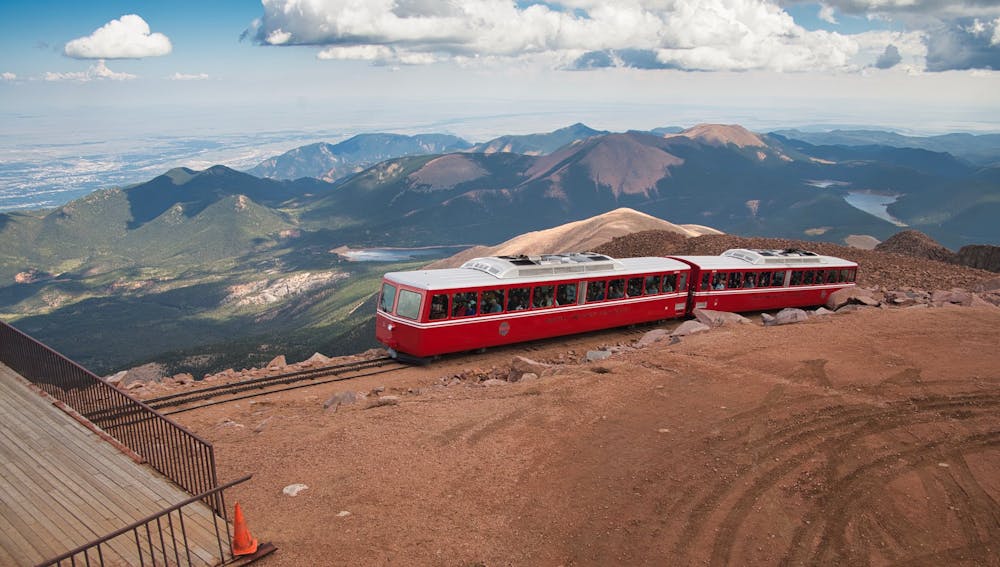
While the Barr Trail only gets a Class 1 rating from 14ers.com, this is a long, difficult hike even without any technical challenge. Hiking to the summit and back down requires over 23 miles of walking and 7,500 feet of elevation gain (and loss), making this one of the longest 14er hikes in the state. There are several ways to shorten the hike, if desired, such as starting at a higher trailhead. You can also choose to grab a ride back down the cog railway, cutting the total distance in half. Be sure to double-check the cog railway's operating hours if you’re planning to utilize this option.
Everyone that writes about this hike emphasizes that you have to start early if you’re going to have a chance of making it to the summit before the afternoon thunderstorms set in. Remember that you generally need to reach the summit and turn around and start descending by noon at the latest, but that lightning storms can crop up at any time. Remain vigilant and aware of weather moving in, and be prepared to abort if the conditions become dangerous.
Sources: https://www.14ers.com/route.php?route=pikeeast&peak=Pikes+Peak https://www.summitpost.org/pikes-peak/150200
Severe
Hiking challenging trails where simple scrambling, with the occasional use of the hands, is a distinct possibility. The trails are often filled with all manner of obstacles both small and large, and the hills are very steep. Obstacles and challenges are often unexpected and can be unpredictable.

The trail contains some obstacles such as outcroppings and rock which could cause injury.

Little chance of being seen or helped in case of an accident.
5 routes · Alpine Climbing · Hiking

46 routes · Alpine Climbing · Hiking