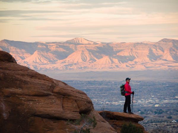
4.9 km away
Mary's -> Wrangler's Loop
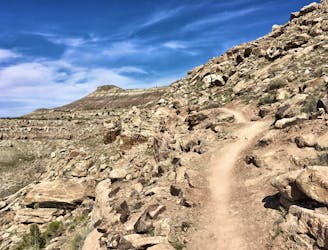
A gorgeous loop above the Colorado River with relatively little climbing.
Moderate Hiking
- Distance
- 17 km
- Ascent
- 307 m
- Descent
- 307 m
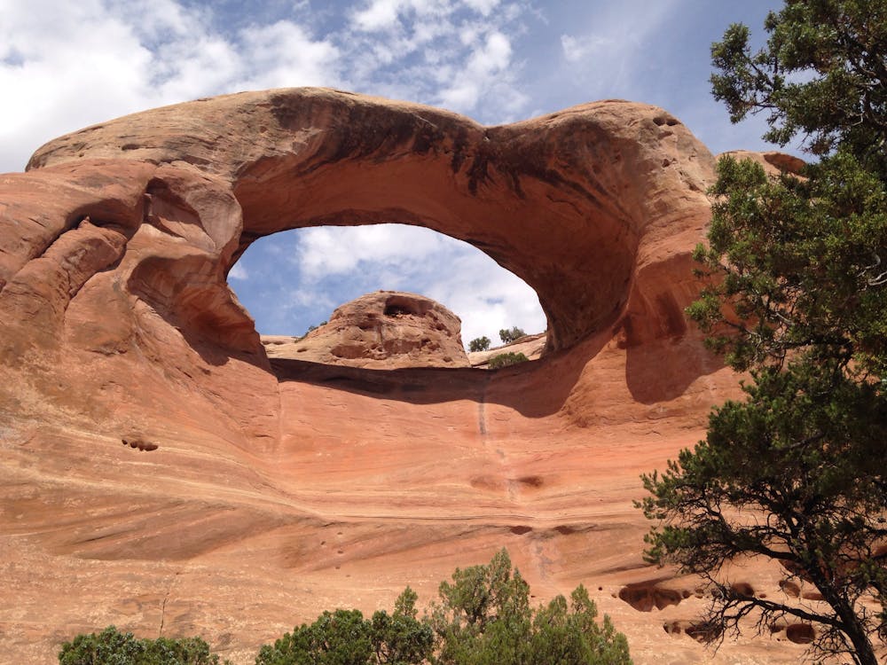
Hike to the second-largest concentration of natural stone arches in the world!
Hiking Extreme

Hidden in the mesas and canyons of McInnis Canyons National Conservation Area just outside of Fruita, Colorado is a "collection of 35 natural arches, including eight major arches, tucked away in Rattlesnake Canyon," according to VisitGrandJunction.com. This group of 35 arches forms "the world's second-largest concentration of arches outside of Utah's Arches National Park."
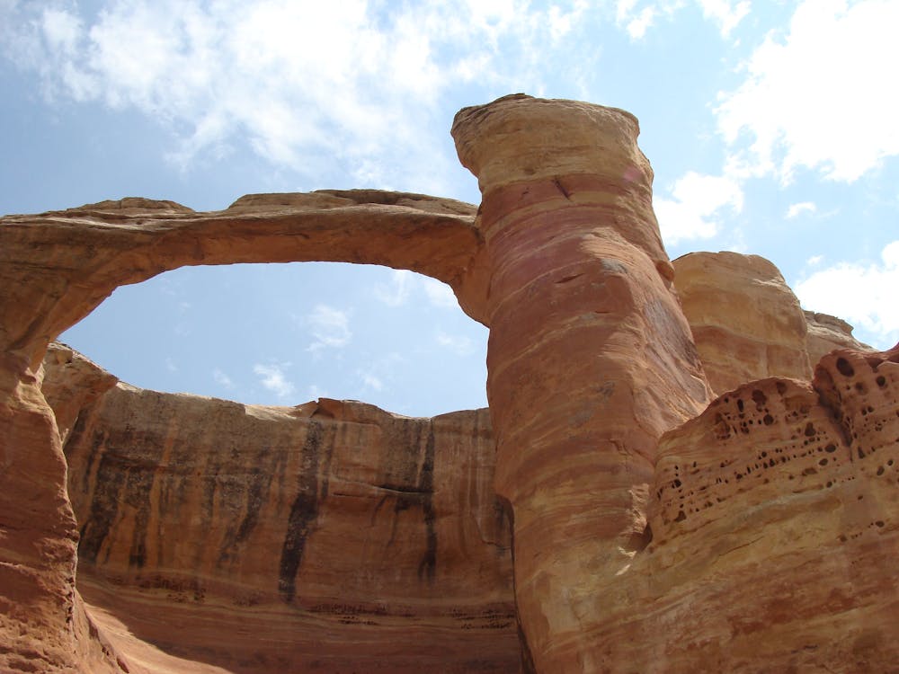
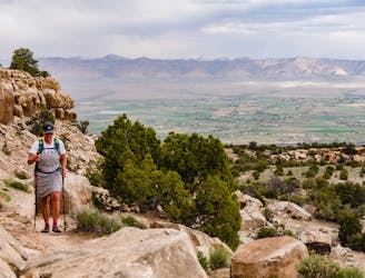
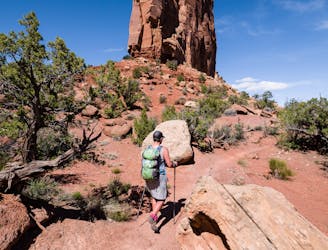
Despite being a world-class geological formation, the Rattlesnake Canyon Arches trails is located way off the beaten path and, thus, stays way under the radar. It's only accessible via a rough 4x4 road drive to an interior trailhead or via the full-day 14.3-mile hike mapped here.
The route mapped here begins at the more accessible Pollock Trailhead and heads deep into the conservation area via a series of ridges, canyons, and dry, desert terrain. The hiking here is rough and unforgiving, with no options for resupply or assistance, so ensure that you are completely self-sufficient before you head out into the desert.
Those who can brave the long approach will be rewarded with a series of fantastic arches without the crowds that you'd have to wade through in nearby Utah! VisitGrandJunction provides a useful description to help you identify the most prominent arches:
"While the arches have always had affectionate nicknames, it wasn't until 1972 that any of the arches was officially named. Today, several of the arches retain unofficial designations. Even with their official titles, many locals still refer to them by their longstanding nicknames. Cedar Tree Arch, also called Rainbow Arch, is the longest arch in the group, with a span of 76 feet and a vertical opening of 43 feet. Centennial Arch, also dubbed East Rim Arch or Rattlesnake Arch, is the site's most elegant archway with a thin 40-foot span above a 120-foot-high window. The impressive Hole-in-the-Bridge Arch illustrates how the circular arches formed like holes punched in arcing sandstone amphitheater. Many of the other arches are smaller windows stamped through roofed alcoves."
Note that to complete the lollipop as mapped here, you'll have to negotiate a class 3 or 4 scramble on the southwestern end of the loop portion of this route. While the scramble is short and relatively unexceptional in the grand scheme of desert scrambling, you'll still need to be comfortable negotiating steep rock cliffs with your hands and feet, with the possibility of serious injury or death if you slip. To avoid the scramble, you'll have to turn around and return the way you came.
Sources: VisitGrandJunction.com
Extreme
Scrambling up mountains and along technical trails with moderate fall exposure. Handholds are necessary to navigate the trail in its entirety, although they are not necessary at all times. Some obstacles can be very large and difficult to navigate, and the grades can often be near-vertical. The challenge of the trail and the steepness of the grade results in very strenuous hiking. Hikes of this difficulty blur the lines between "hiking" and "climbing".

Some trail sections are extremely exposed where falling will almost certainly result in serious injury or death.
In the high mountains or remote conditions, all individuals must be completely autonomous in every situation.
4.9 km away
A gorgeous loop above the Colorado River with relatively little climbing.
Moderate Hiking
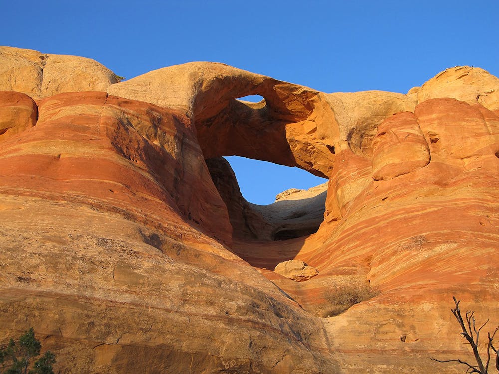
7.1 km away
A beautiful backcountry trail with plenty of solitude.
Difficult Hiking
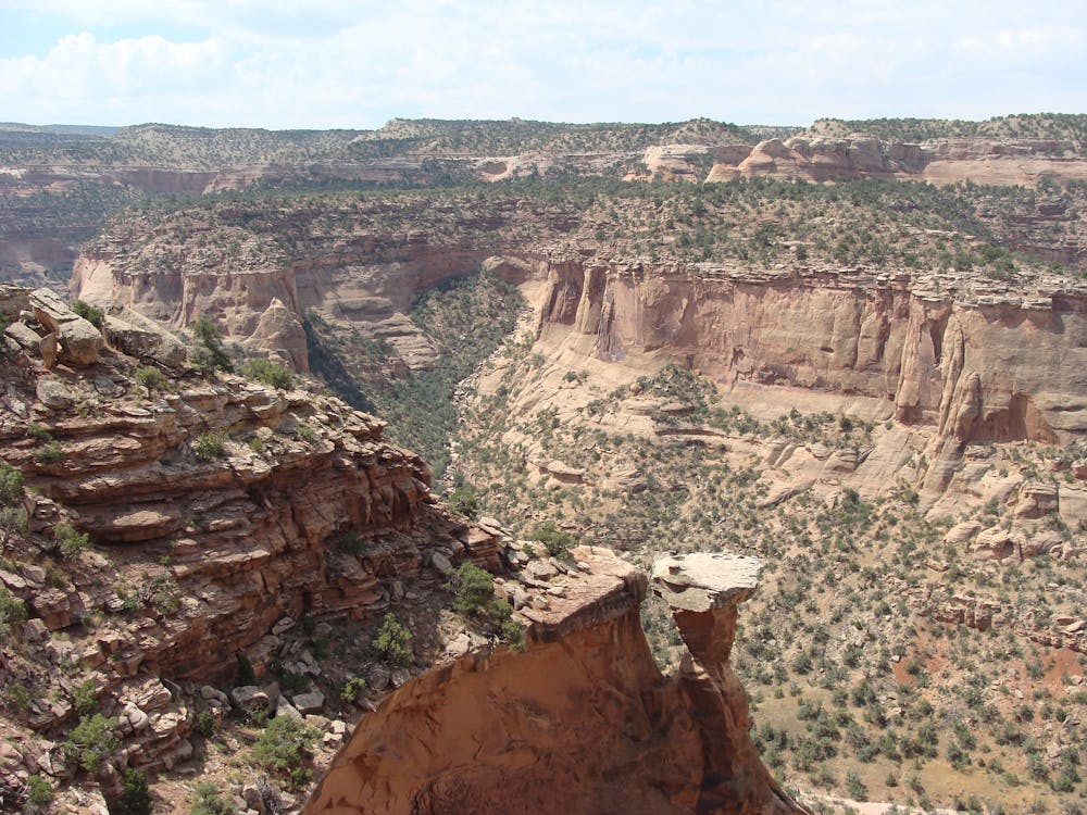
9.7 km away
A stunning sampler of the canyon's best rock sculptures.
Difficult Hiking
6 routes · Hiking
10 routes · Hiking