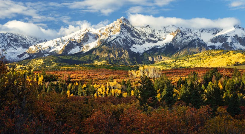
10 routes · Alpine Climbing · Hiking
One of the most difficult Colorado 14er summits to reach.
Hiking Difficult

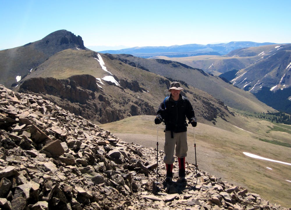
While San Luis Peak may be one of the easiest Class 1 14ers in Colorado, it’s one of the most difficult 14er summits to reach. To start, the route mapped here requires 12 miles of hiking, which is reasonable but on the longer end of 14er hikes. However, 14ers.com lists the Northeast Ridge route as 13.5 miles round-trip. And it could be even longer, depending on how close you can get in your car.
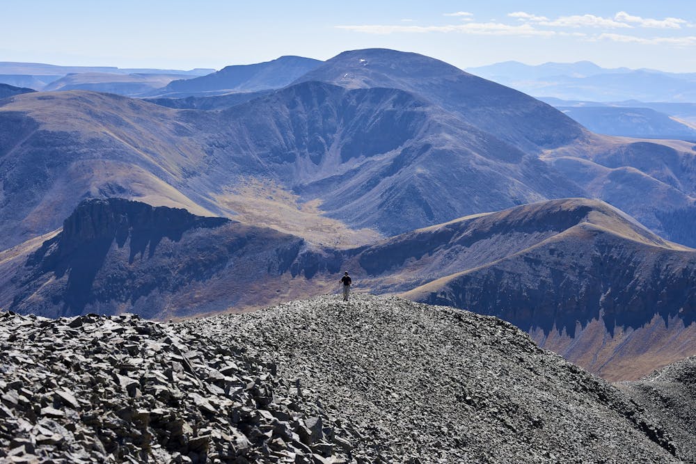
San Luis Peak is “situated about 2 hours from the nearest paved road,” according to Kilimanjaro1 on SummitPost.org. “You have to want to climb this one to make the effort to get there,” he continues.
On top of this lengthy gravel road approach, “before reaching the trailhead, the dirt road crosses Pauline and Nutras Creeks,” according to 14ers.com. "There are smooth, cement slabs to make the crossings easier but you will still need a good-clearance vehicle,” they continue.
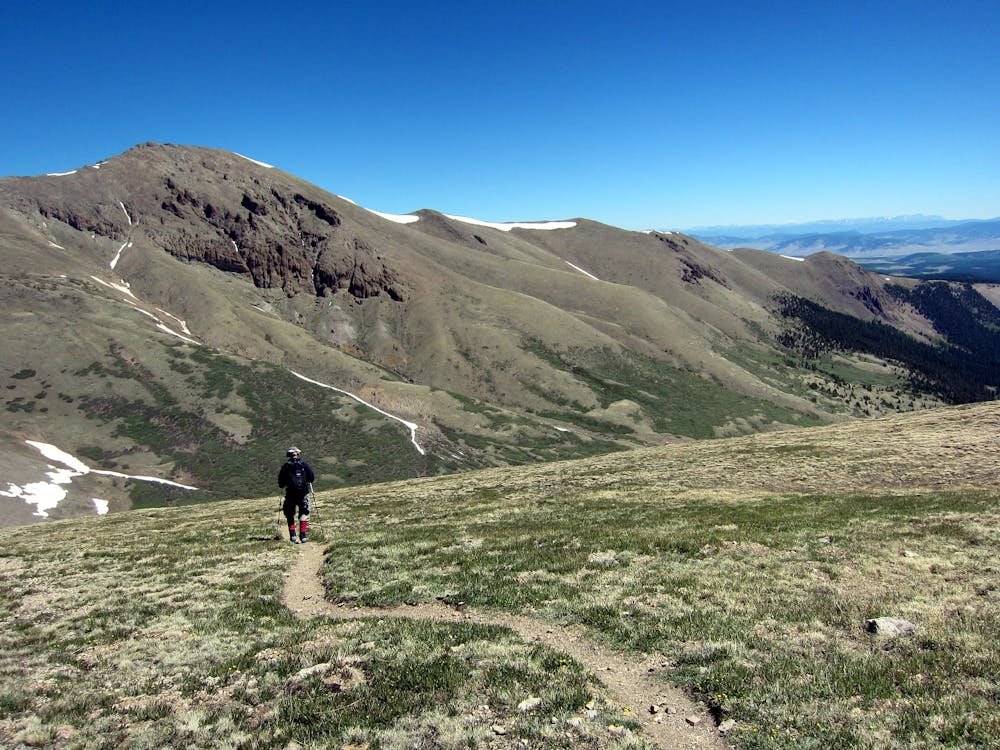
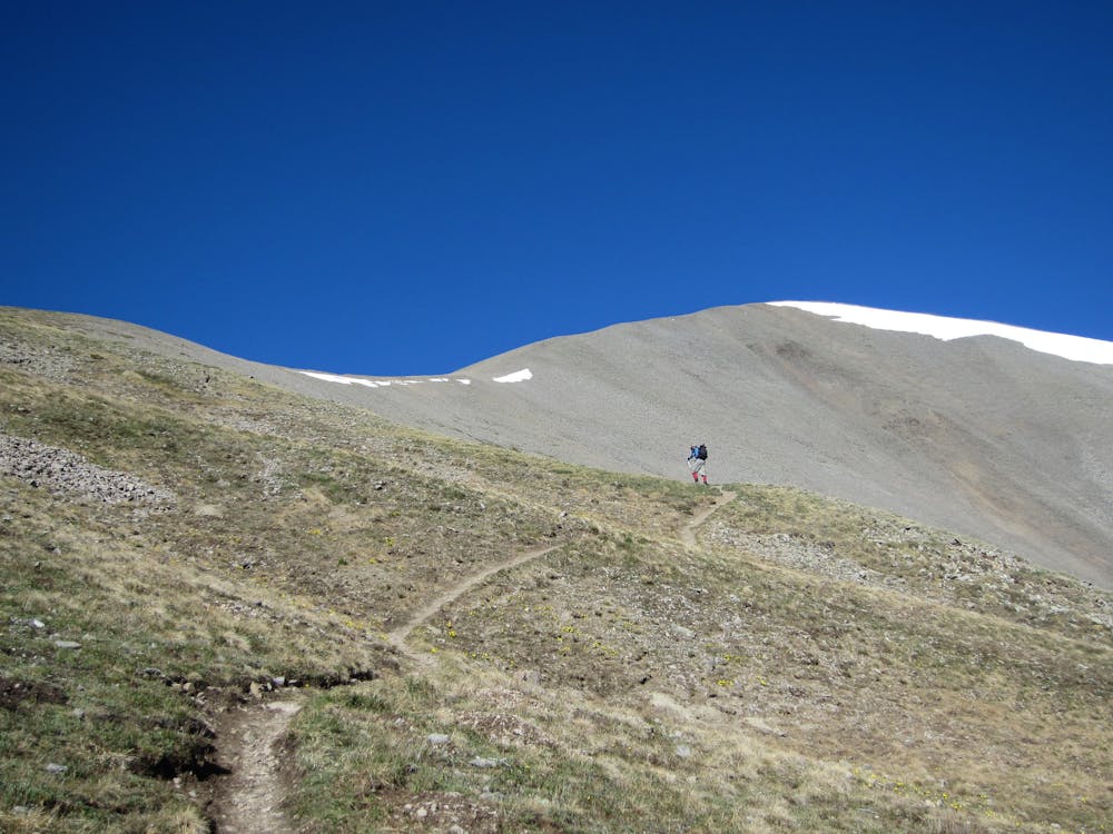
Once you finally reach the trailhead, you’re practically halfway there! Continue your ascent of San Luis Peak by hiking up the Stewart Creek Trail. The trail slowly climbs up a valley, crossing the stream a few times before breaking out of the trees. The route bears southwest, eventually ascending a wide slope to the ridgeline. Once on the ridge, follow it up and right to a low point, then head further south and west to reach the summit of San Luis Peak.
Sources: https://www.summitpost.org/san-luis-peak/150457 https://www.14ers.com/route.php?route=sanl1&peak=San+Luis+Peak
Difficult
Hiking trails where obstacles such as rocks or roots are prevalent. Some obstacles can require care to step over or around. At times, the trail can be worn and eroded. The grade of the trail is generally quite steep, and can often lead to strenuous hiking.

The trail contains some obstacles such as outcroppings and rock which could cause injury.

In the high mountains or remote conditions, all individuals must be completely autonomous in every situation.
10 routes · Alpine Climbing · Hiking

46 routes · Alpine Climbing · Hiking