10 routes · Hiking

A beautiful trail running high above the rest of the 18 Road Trail System.
Hiking Moderate

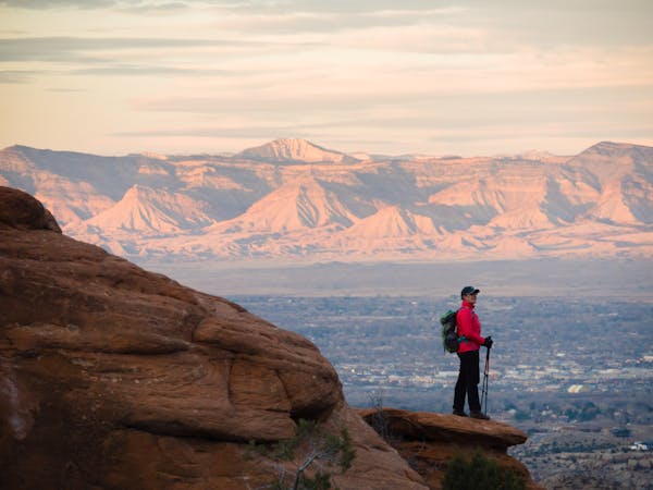
The Sarlacc Trail is one of the newest trails in the greater 18 Road Trail System but unlike the most popular trails, Sarlacc traverses the top of the Book Cliffs, looking down on the other trails in the area from high above. From the top of the cliffs, you’ll enjoy "incredible views of the back of the Bookcliffs as well as enormous views of the Grand Valley,” according to BackcountryBiker.com.
The entire trail is a beautiful bench cut construction that follows the contours of the land and the edge of the ridge. While there aren’t any major climbs or descents on this ride, the short and steep ups-and-downs can add up quickly!
Note that Sarlacc has a seasonal closure, and that the trail is only open from May 1st until November 30th.
Sources: BackcountryBiker.com Pinkbike.com
Moderate
Hiking along trails with some uneven terrain and small hills. Small rocks and roots may be present.

10 routes · Hiking