Timber Trail
A long, scenic and varied adventure with some wonderful camping spots en route
Hiking Difficult
- Distance
- 13 km
- Ascent
- 515 m
- Descent
- 515 m
- Duration
- 3-4 hrs
- Low Point
- 1.7 km
- High Point
- 2.1 km
- Gradient
- 10˚

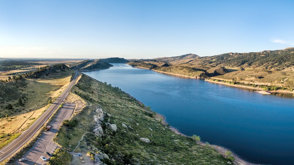
On a hillside high above Fort Collins lies an exceptional hiking area, the highlight of which is the Timber Trail. Leading from the western side of Horsetooth Reservoir to a stunning ridge, it's well deserving of its classic status.
Description
The Timber Trail can be done as an out-and-back, but turning it into a loop is the best way to do it. Regardless of whether you make it a loop or a linear route, camping at one of the fabulous backcountry campgrounds en route is unmissable!
The views across Fort Collins and huge plains of the midwest are utterly spectacular, and there are some excellent wildflower spotting opportunities, particularly in spring. Come and see for yourself why this is such a famous hike!
Difficulty
Difficult
Hiking trails where obstacles such as rocks or roots are prevalent. Some obstacles can require care to step over or around. At times, the trail can be worn and eroded. The grade of the trail is generally quite steep, and can often lead to strenuous hiking.
Medium Exposure

The trail contains some obstacles such as outcroppings and rock which could cause injury.
Remoteness

Little chance of being seen or helped in case of an accident.
Best time to visit
Features
- Wildlife
- Picturesque
- Summit Hike