French Pass
Salida
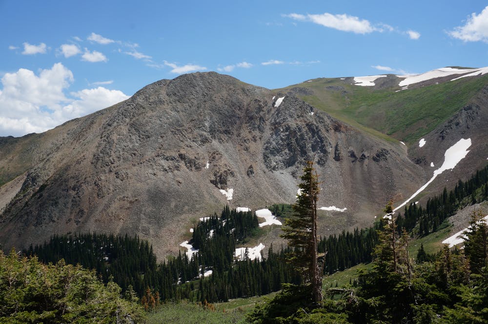
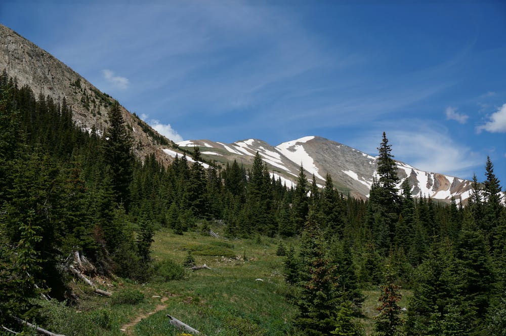
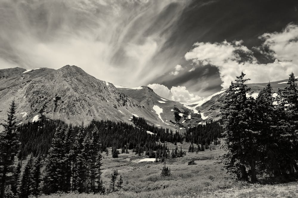
An isolated ride over the stunning French Pass.
Horse Riding Difficult
- Distance
- 25 km
- Ascent
- 1 km
- Descent
- 1 km
- Low Point
- 3.1 km
- High Point
- 3.7 km
- Gradient
- 10˚

If you’re looking for a beautiful horseback riding route that will take you away from the crowds on Breckenridge’s more popular trails, consider the French Pass Trail.

- •
- •
- •
- •
- •
- •
Description
“The French Pass trail provides access to the Continental Divide between Bald Mountain and Mount Guyot,” writes the US Forest Service. "The trail is not always easy to follow and isn't well signed. From the southern trailhead it leads up the French Creek drainage, beginning at approximately 10,520 feet in elevation. Within 4.5 miles hikers reach the summit of French Pass. The trail continues into the White River National Forest.”
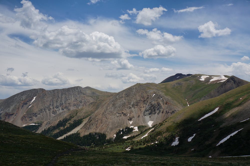
Since this is an out-and-back route, you can choose how long you’d like to ride for. Most will choose to ride up to the top of the pass along the Continental Divide and take in the incredible scenery, and then turn around at that point. If you choose to head down the back side, know that you are committing to a much more involved ride.
It is possible to make a loop with Georgia Pass and a few other trails in the area, but again, note that this is a much more committing ride, and covers a long distance on difficult terrain.
This route is recommended for advanced horsemen and experienced trail horses.
Difficulty
Difficult
Remoteness

In the high mountains or remote conditions, all individuals must be completely autonomous in every situation.