2 m away
Castle Rock Gulch
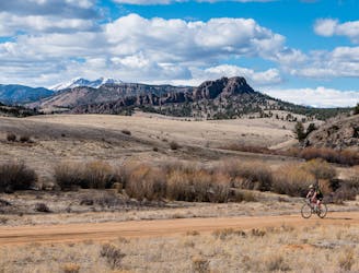
A perfect 15-mile scenic “lollipop” loop ride.
Easy Mountain Biking
- Distance
- 24 km
- Ascent
- 303 m
- Descent
- 303 m
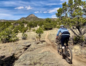
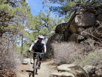
Technical moto trails in Arnold Gulch
Mountain Biking Severe

This is a popular mountain biking route which is generally considered to be severe. It's an unknown remoteness, it features unknown exposure and is typically done in an unknown time of year. From a low point of 2.6 km to the maximum altitude of 2.9 km, the route covers 27 km, 915 vertical metres of ascent and 915 vertical metres of descent.
Hidden in Arnold Gulch are some quite entertaining moto-legal singletrack trails that make for challenging mountain biking. While little-ridden by mountain bikers, these trails can make for an excellent change of pace.
Severe
Widely variable, narrow trail tread with steeper grades and unavoidable obstacles of 15in/38cm tall or less. Obstacles may include unavoidable bridges 24in/61cm wide or less, large rocks, gravel, difficult root sections, and more. Ideal for advanced-level riders.
2 m away
A perfect 15-mile scenic “lollipop” loop ride.
Easy Mountain Biking
8.5 km away
One of the flowy few: an easy mountain bike ride in Buena Vista.
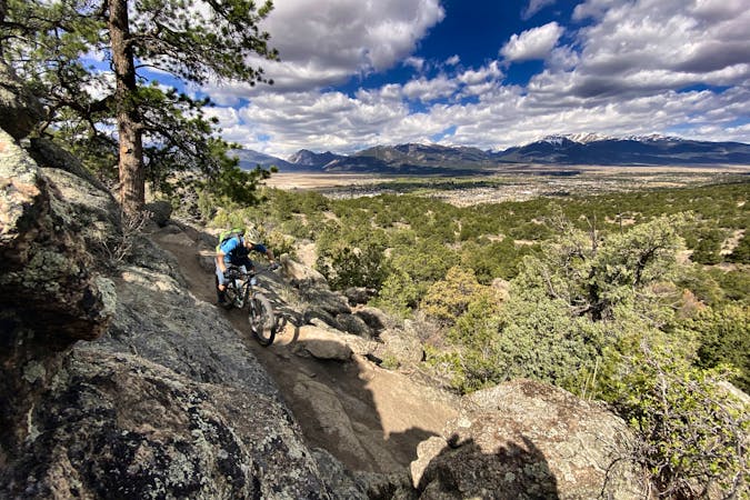
Moderate Mountain Biking
8.5 km away

An OG Buena Vista ride on the Midland Railroad Grade.
Moderate Mountain Biking
8.5 km away
An OG Buena Vista Ride looping the Midland Trail and dirt roads in Four Mile.
Moderate Mountain Biking
5 routes · Mountain Biking