
26 routes · Mountain Biking

The Colorado Trail (COT) is widely regarded as one of the very best long distance mountain bike trails in the world. Running for 535 miles between Denver and Durango, the trail crosses high alpine mountain passes and drops into beautiful valleys as it traverses the most beautiful portions of the state of Colorado. The COT forms one third of the Triple Crown of Bikepacking, along with the Arizona Trail and the Great Divide Mountain Bike Route.
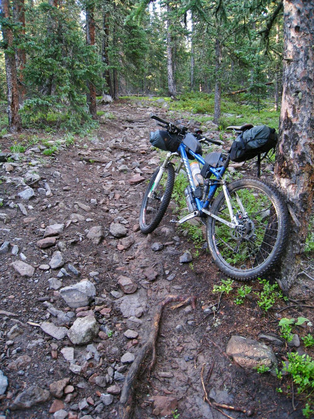
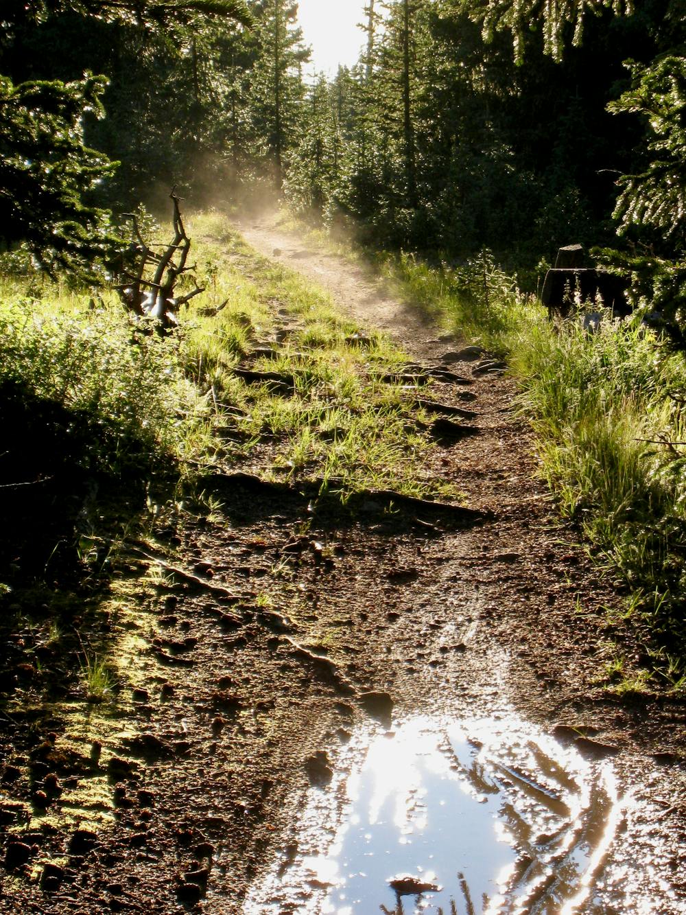
Much of this segment of the Colorado Trail follows roads and old road beds, according to 14erskiers.com. At some points, the doubletrack does narrow down into a trail that resembles singletrack, albeit a quite wide and somewhat unmaintained singletrack. Some portions of the singletrack are very rocky, while others are very smooth.
Here’s how the Colorado Trail Foundation characterizes this section: "This is not one of the most breathtakingly beautiful segments of the Colorado Trail. It is ranch country and grazing cattle are common. The grades average less than 100 feet per mile. There is not much shade and less water.”
If riding from Denver to Durango, this section of the COT dumps out onto a road, requiring a wilderness bypass.
Sources: https://14erskiers.com/blog/2012/07/co-trail-segment-18-hwy-114-to-saguache-park/ https://www.trails.com/us/co/saguache/the-colorado-trail-colorado-highway-114-to-saguache-park-road
Difficult
Mostly stable trail tread with some variability featuring larger and more unavoidable obstacles that may include, but not be limited to: bigger stones, roots, steps, and narrow curves. Compared to lower intermediate, technical difficulty is more advanced and grades of slopes are steeper. Ideal for upper intermediate riders.

The trail contains some obstacles such as outcroppings and rock which could cause injury.
Away from help but easily accessed.
26 routes · Mountain Biking