
26 routes · Mountain Biking
One of the most remote, highest-elevation, and drop-dead-gorgeous sections of the Colorado Trail.
Mountain Biking Difficult

The Colorado Trail (COT) is widely regarded as one of the very best long distance mountain bike trails in the world. Running for 535 miles between Denver and Durango, the trail crosses high alpine mountain passes and drops into beautiful valleys as it traverses the most beautiful portions of the state of Colorado. The COT forms one third of the Triple Crown of Bikepacking, along with the Arizona Trail and the Great Divide Mountain Bike Route.
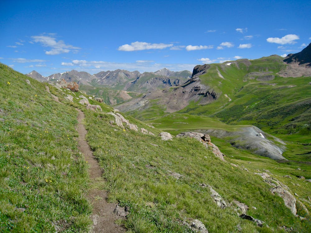
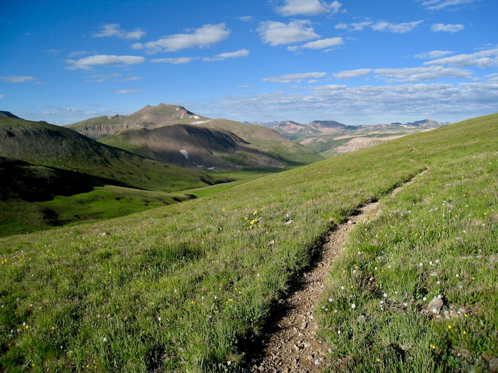
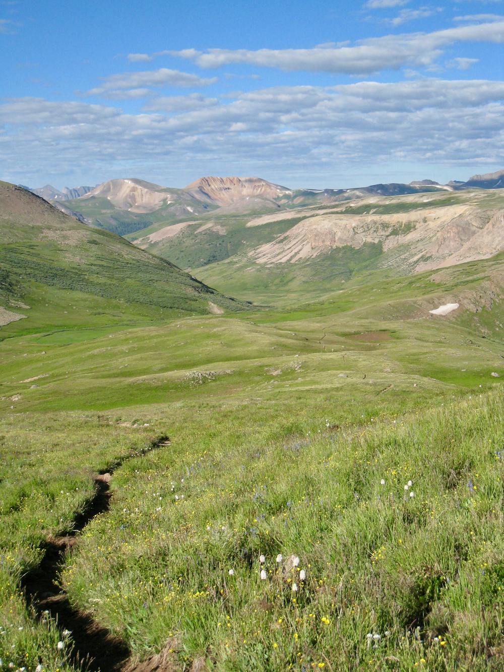
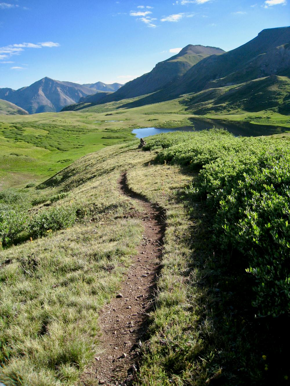
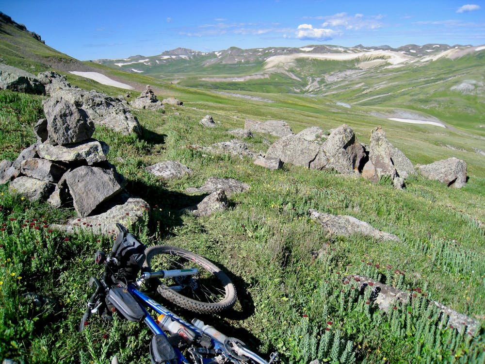
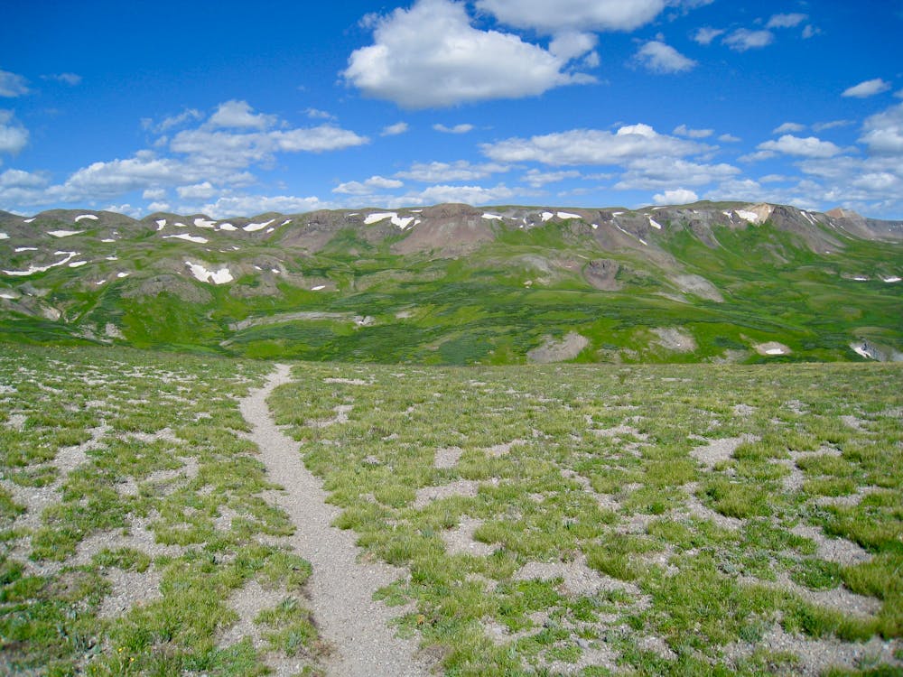
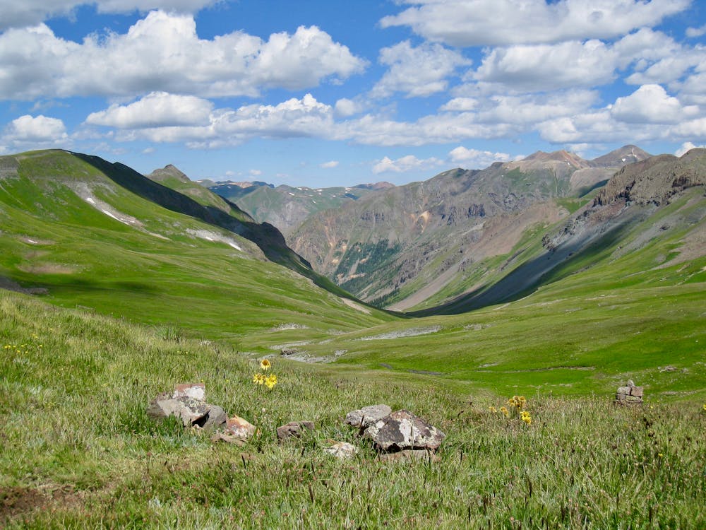
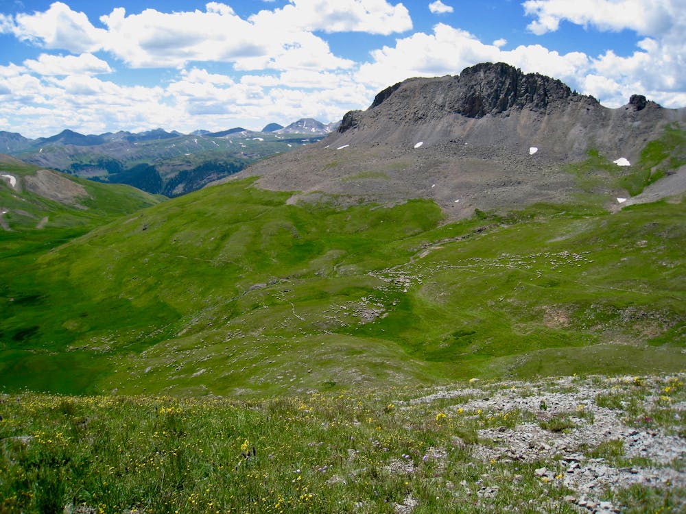
According to ColoradoTrail.org, Segment 23 runs 15.9 miles and gains 3,515 feet of elevation from Carson Saddle to Stony Pass Trailhead. A continuation of the high altitude section begun in Segment 22, according to DownTheTrail.com this zone of the Colorado Trail doesn’t drop "below 12,000 feet for over 30 continuous miles, not even once."
The continued high elevation trail lends itself to epic views, singletrack alternating between flow and rock, and extended hike-a-bike sections. "The trail reaches a high point and rounds a bend with a new view. Again I’m struck by the area’s raw beauty,” writes Jamie Compos. "Around each corner there’s just more of the same – these tundra basins flanked by gently curving ridges, morphing into scree slopes crowned with rocky outcrops.”
This area of the Colorado Trail is exceedingly remote, with Lake City and Silverton being the only spots to refuel or get help. And both of those towns are separated by miles and miles of some of the most rugged terrain you may ever mountain bike. If attempting to thru bikepack this section, make sure you’re prepared.
Sources: http://www.coloradotrail.org/segments.html#23 https://www.downthetrail.com/hiking-the-colorado-trail/day-30-jarosa-mesa-to-lost-trail-creek-segment-22/
Difficult
Mostly stable trail tread with some variability featuring larger and more unavoidable obstacles that may include, but not be limited to: bigger stones, roots, steps, and narrow curves. Compared to lower intermediate, technical difficulty is more advanced and grades of slopes are steeper. Ideal for upper intermediate riders.

The trail contains some obstacles such as outcroppings and rock which could cause injury.

In the high mountains or remote conditions, all individuals must be completely autonomous in every situation.
26 routes · Mountain Biking