
26 routes · Mountain Biking
Bike-specific bypass around the Weminuche Wilderness.
Mountain Biking Easy

The Colorado Trail (COT) is widely regarded as one of the very best long distance mountain bike trails in the world. Running for 535 miles between Denver and Durango, the trail crosses high alpine mountain passes and drops into beautiful valleys as it traverses the most beautiful portions of the state of Colorado. The COT forms one third of the Triple Crown of Bikepacking, along with the Arizona Trail and the Great Divide Mountain Bike Route.
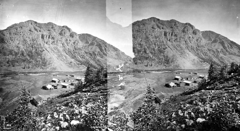
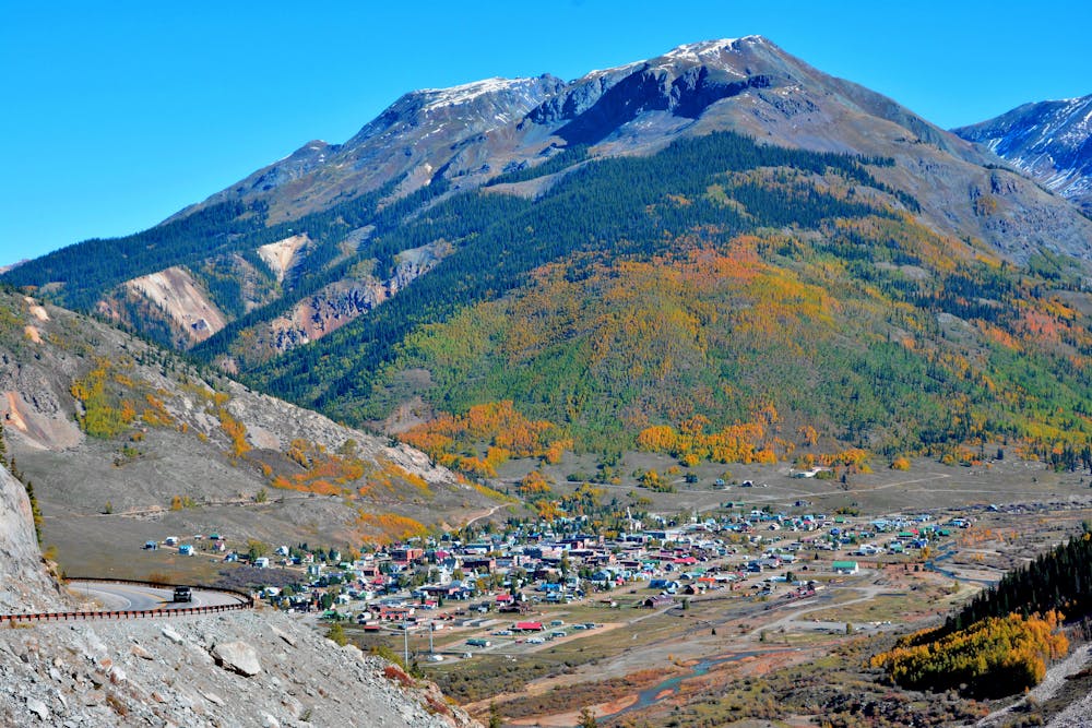
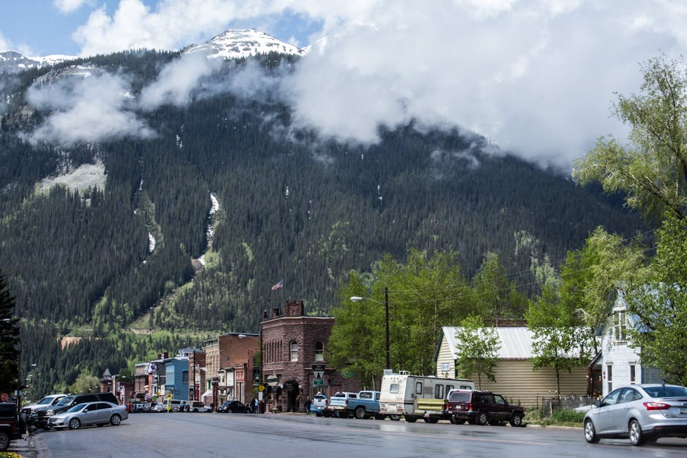
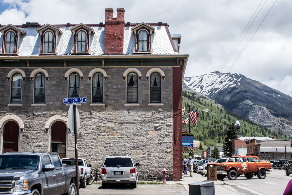

This section of the Colorado Trail bike route bypasses around the massive 499,771-acre Weminuche Wilderness, where bikes aren’t allowed. Following dirt roads through this zone, the bypass terminates near the town of Silverton.
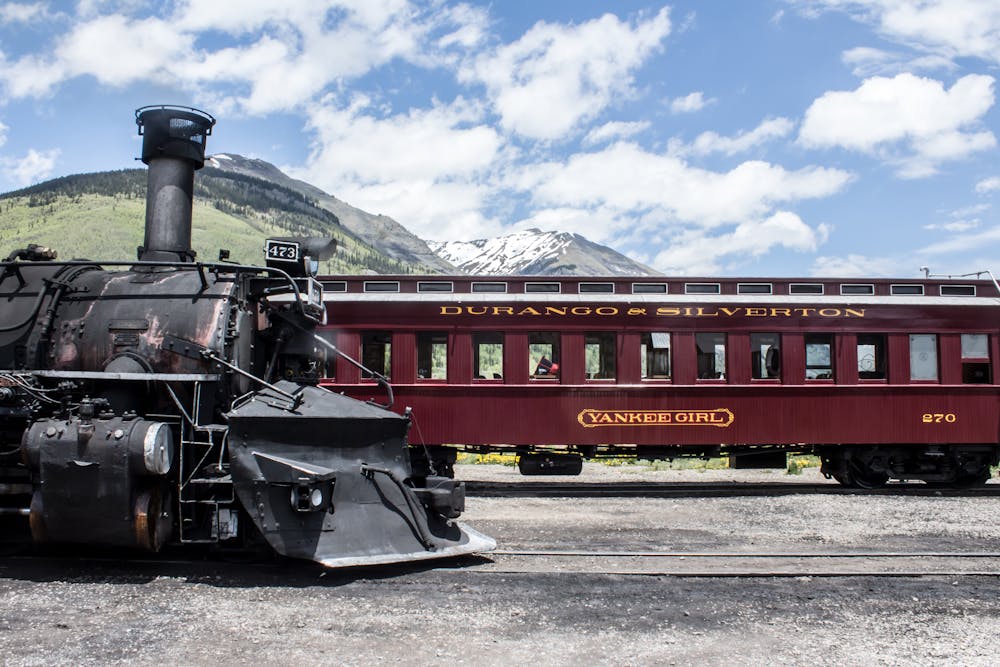
Silverton is a popular rest stop along the trail, with many riders choosing to take a zero day here. Whatever you decide, make sure that you resupply before leaving Silverton because there are no other towns or civilization of any kind until you reach the end of the Colorado Trail in Durango.
Easy
Mostly smooth and non-technical singletrack with unavoidable obstacles 2in/5cm tall or less. Avoidable obstacles may be present. Ideal for beginner riders.

The trail contains some obstacles such as outcroppings and rock which could cause injury.

Close to help in case of emergency.
26 routes · Mountain Biking