10 routes · Mountain Biking
A gorgeous pedal through the alpine on top of Rabbit Ears Pass along the Continental Divide Trail leads to a never-ending descent all the way back into the town of Steamboat Springs.
Mountain Biking Difficult

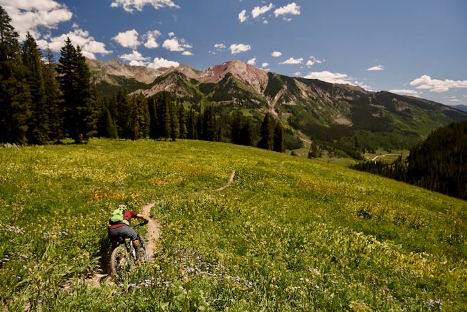
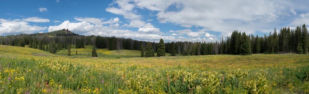
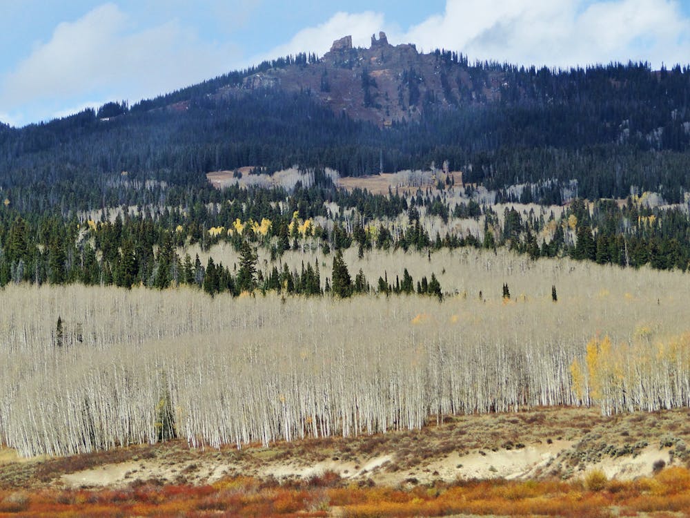
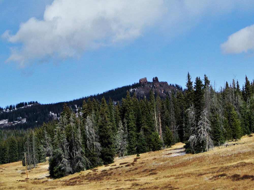
The Rabbit Ears Pass area lies about 3,500 feet above the town of Steamboat Springs at an altitude of roughly 10,000 feet, but despite its relatively high elevation this area is quite flat. Here, the Continental Divide Trail rolls smoothly along a high plateau, passing by gorgeous alpine lakes and through meadows full of wildflowers.
While the terrain may be mellow, after departing Rabbit Ears Pass the area is extremely remote and far from help—the perfect blend of easy access and backcountry seclusion.
Once on the Mountain View trail the singletrack gets narrower and more sinuous. The trail lives up to its name, with alpine meadows providing gorgeous vistas of the surrounding mountain peaks.
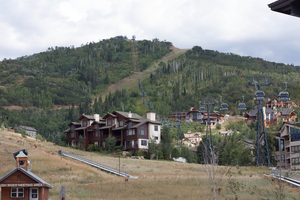
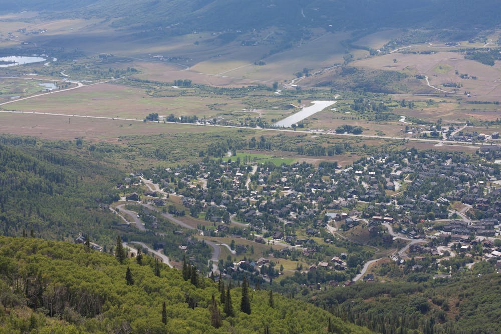
Mountain View wraps around and brings you to Mount Werner and the upper reaches of Steamboat Ski Resort. Finally, it's time to open the suspension up and shred! Pete's Wicked Descent drops you down from the top of Werner and while there aren't any huge technical features, endless medium-sized rocks can prove rough at high speed.
Once into the resort's primary area for summer operations there are a number of options for descending down to the base, although you may need to possess a lift ticket or season pass to ride the downhill-only trails. However, there's also a bi-directional trail that provides an intermediate-friendly rip down to the base.
The two halves of this route are quite different from each other, but both help make this ride a local favorite. Beautiful alpine singletrack with gorgeous views and ripping descending—what a rad combination!
Difficult
Mostly stable trail tread with some variability featuring larger and more unavoidable obstacles that may include, but not be limited to: bigger stones, roots, steps, and narrow curves. Compared to lower intermediate, technical difficulty is more advanced and grades of slopes are steeper. Ideal for upper intermediate riders.

The trail contains some obstacles such as outcroppings and rock which could cause injury.

Little chance of being seen or helped in case of an accident.
10 routes · Mountain Biking