36 m away
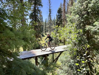
Haviland Lake: Wagon - Aspen Loop
A great four-mile loop on the flowiest trails at Haviland Lake.
Moderate Mountain Biking
- Distance
- 6.7 km
- Ascent
- 156 m
- Descent
- 156 m
Circumnavigate the small but scenic Haviland Lake Trail System.
Mountain Biking Difficult

The trails at Haviland Lake fly way below the Durango mountain bike radar. This is primarily due to how much equestrian traffic the trails receive, largely thanks to the nearby Bears Ranch stable that offers guided horseback rides. However, the stable is closed at least one day per week—on Sundays in the summertime and Mondays in the fall—providing a perfect window of opportunity for mountain bikers to get out on the trails. (Note: even though commercial rides won't be happening, you can still encounter horses on these trails.)
The ride mapped here follows the perimeter of the trail system, which includes the most technical trail in the network and some of the trails with the best views.
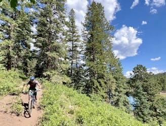
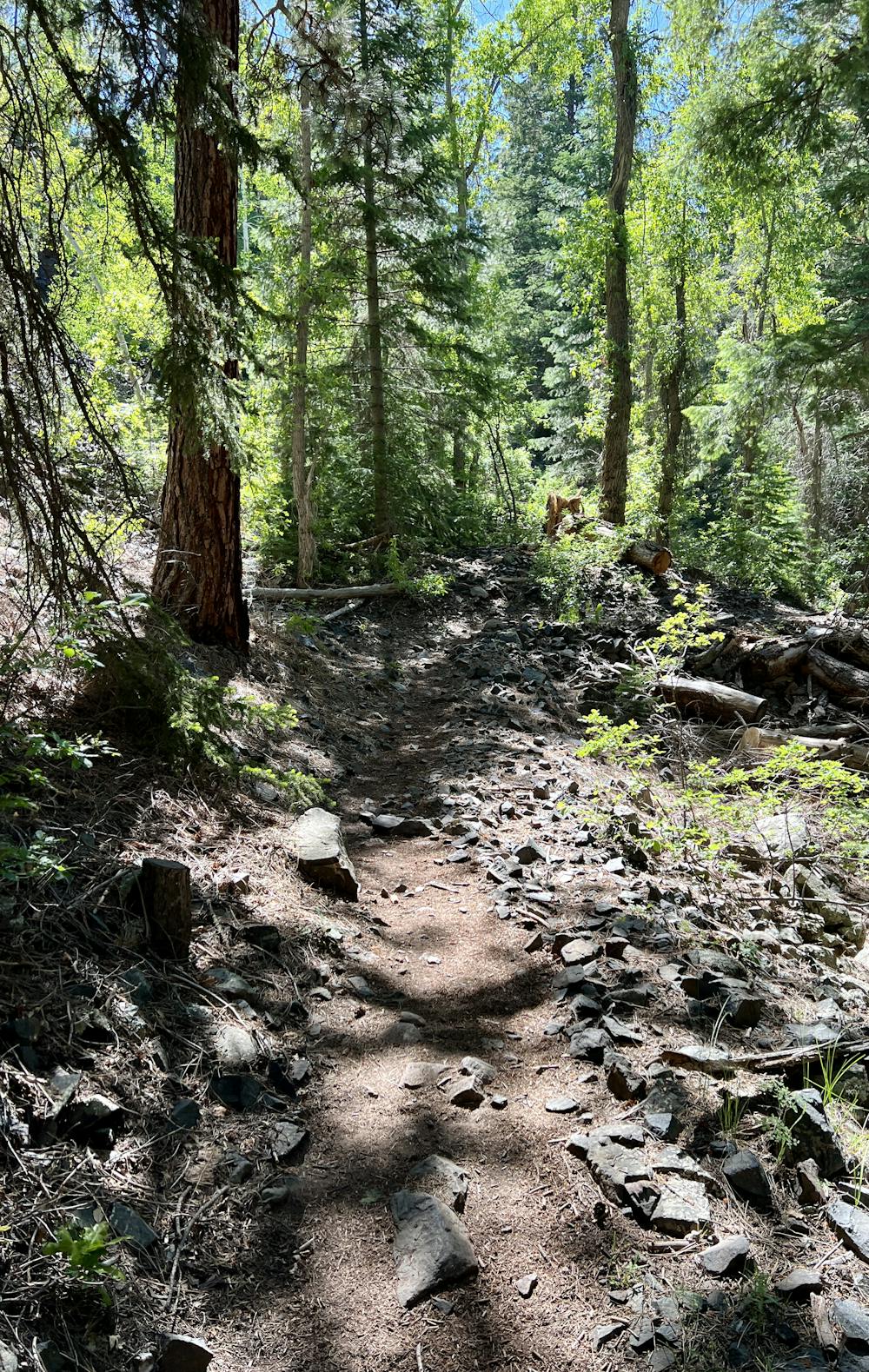
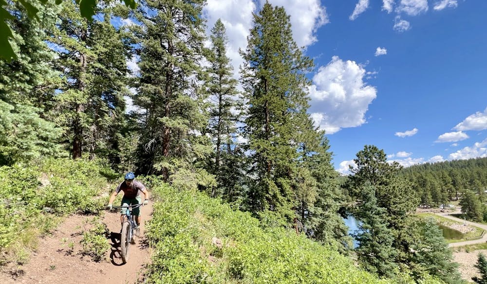
The route begins from a trailhead near the Haviland Lake Campground, which is extra convenient if you happen to be camping here, too. After dropping into the singletrack, you'll take two left turns to pick up the Miner's Trace trail.
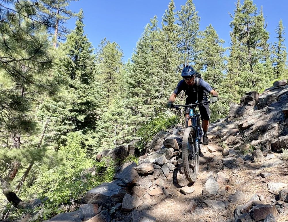
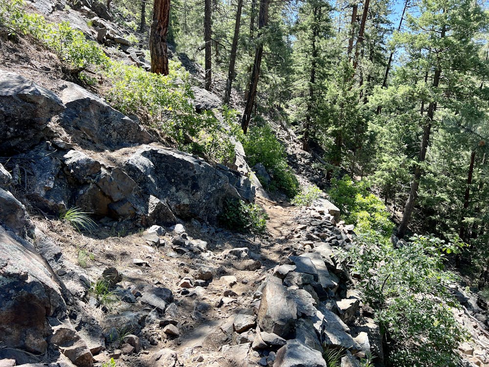
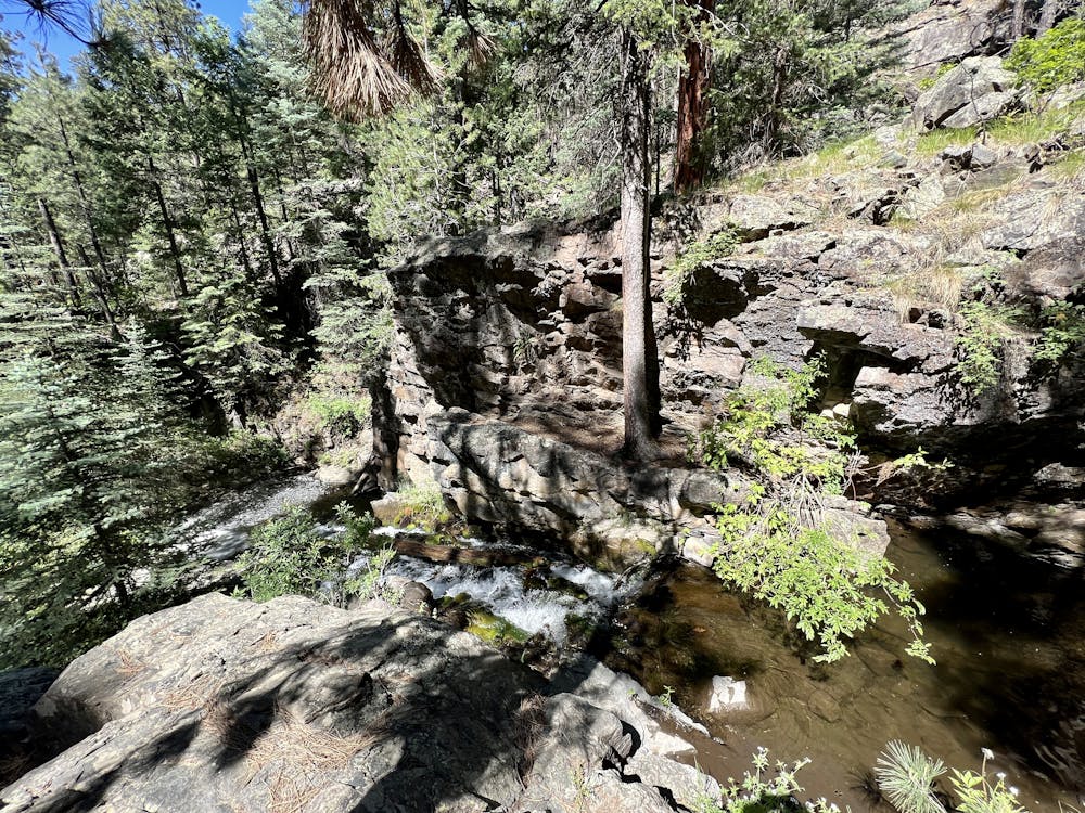
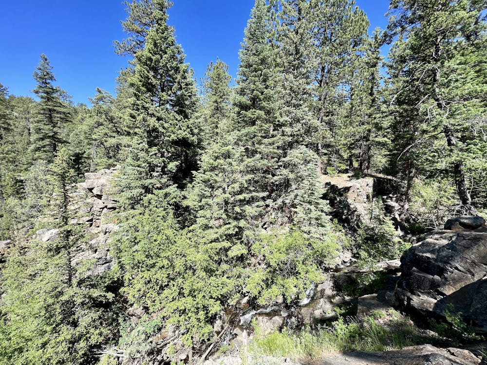
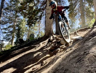
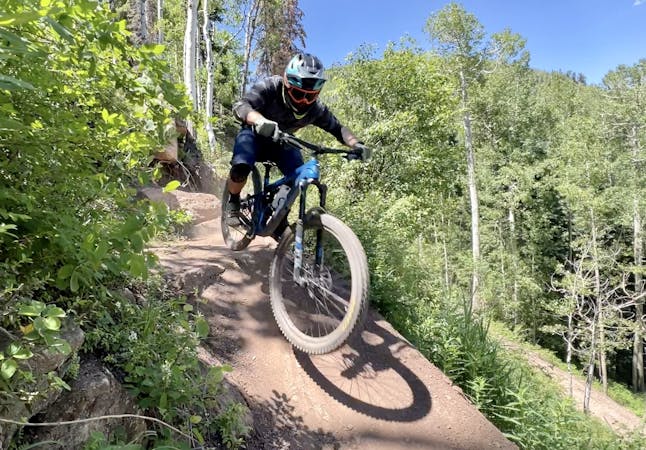
Miner's Trace is fairly rocky and technical, with rock gardens, ledges, and small slabs. A few sections of the trail are a bit exposed, too, providing views and a delightful airy feeling. This section of trail earns the "Difficult" FATMAP rating for this ride.
Along Miner's Trace, you'll also pass a few scenic waterfalls and cascades. Be sure to pause and savor the natural beauty. And at the bottom, you'll pass some old mine sites from whence this trail receives its name.
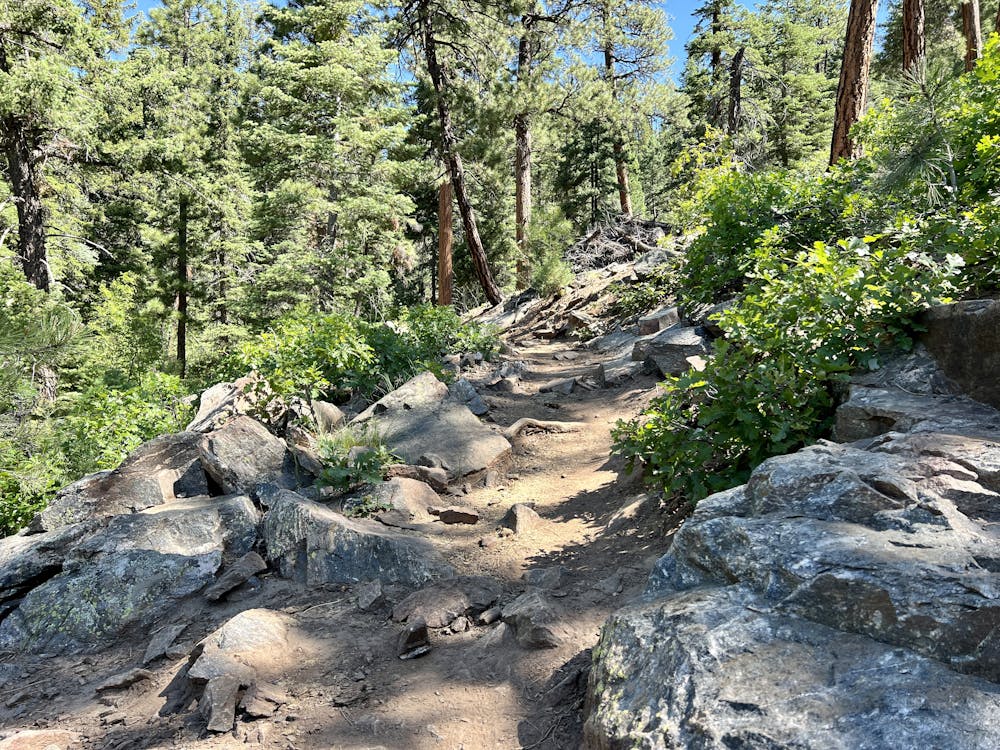
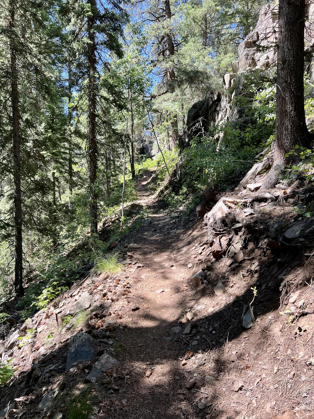
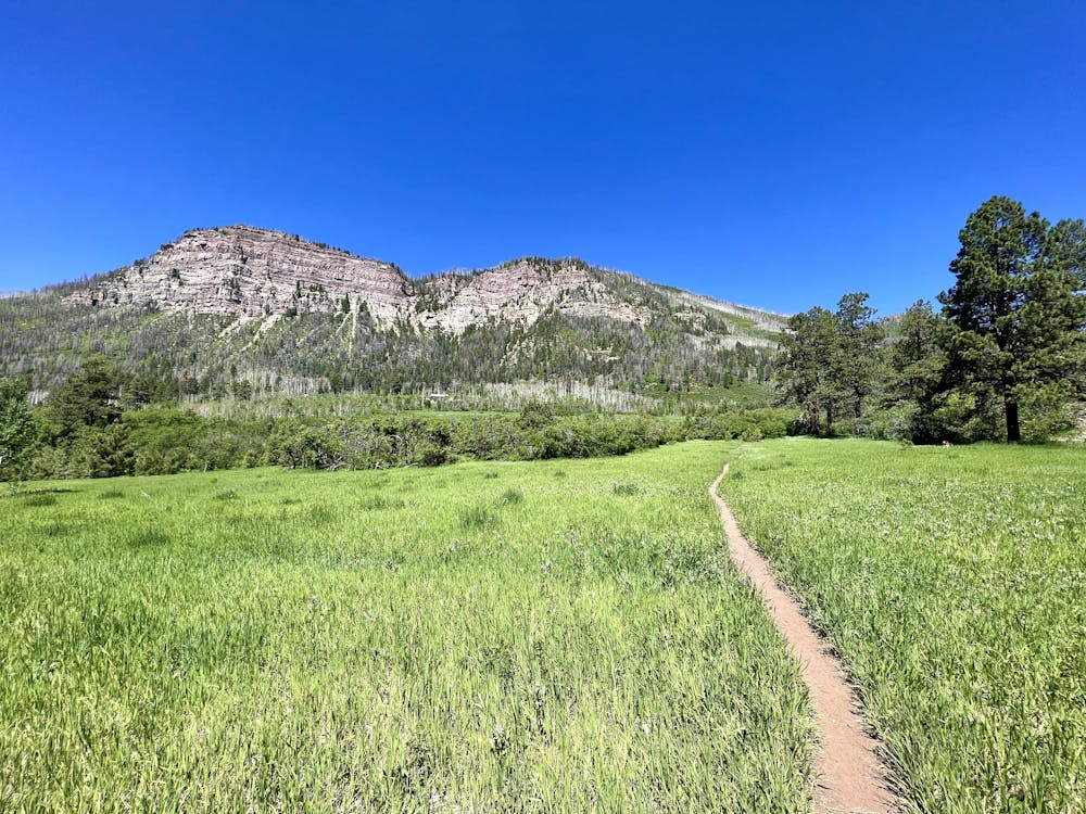
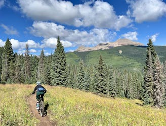
Carrying on around the loop, the riding gets a fair bit easier, with mostly-smooth singletrack punctuated by the occasional rocky ledge. After suffering up a short but steep climb on Chris Park, you'll reach beautiful views on Hermosa View Loop and the Meadow Trail. The views of the Hermosa Cliffs towering above are truly spectacular.
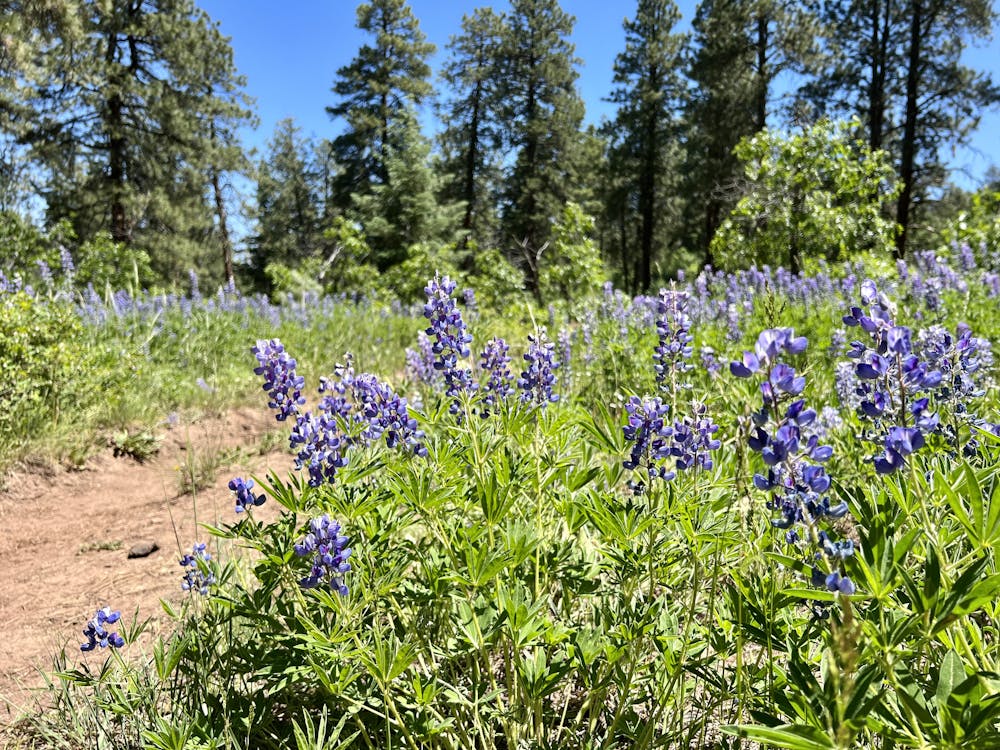
The Haviland View Trail also hides some short, punchy climbs and descents, but this section is also filled with gorgeous wildflowers to help you keep your mind off the suffering.
While this 6-mile ride is over fairly quickly, you can make a longer day of it by weaving some of the interior loops into your ride.
Difficult
Mostly stable trail tread with some variability featuring larger and more unavoidable obstacles that may include, but not be limited to: bigger stones, roots, steps, and narrow curves. Compared to lower intermediate, technical difficulty is more advanced and grades of slopes are steeper. Ideal for upper intermediate riders.

The trail contains some obstacles such as outcroppings and rock which could cause injury.
Away from help but easily accessed.
36 m away
A great four-mile loop on the flowiest trails at Haviland Lake.
Moderate Mountain Biking
9.6 km away

A crowd pleaser run, combining a flow trail with a more natural singletrack finish.
Moderate Mountain Biking
9.6 km away
The steepest, most technical line on the mountain.
Extreme Mountain Biking
9.6 km away
The best beginner flow trail lap at Purgatory.
Easy Mountain Biking
9.6 km away
The best top-to-bottom flow trail lap in the Purgatory Bike Park.
Difficult Mountain Biking
9.6 km away

One of the most technical lines in the bike park.
Extreme Mountain Biking
9.6 km away
Step into black diamond terrain at Purgatory.
Severe Mountain Biking
9.6 km away
A top-to-bottom beginner trail with two distinct sections.
Easy Mountain Biking
7 routes · Mountain Biking