2 km away
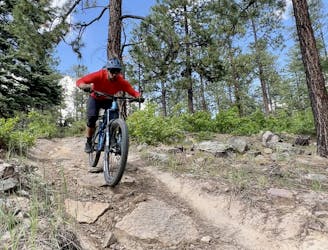
Log Chutes Downhill: Short Shuttle Run

A quick shuttle on one of the better trail segments in the Log Chutes.
Difficult Mountain Biking
- Distance
- 3.7 km
- Ascent
- 5 m
- Descent
- 365 m
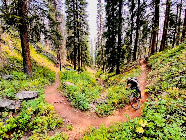
The full Log Chutes Downhill run, in all of its eroded infamy.
Mountain Biking Severe

The Log Chutes trails are home to some of Durango's oldest downhill runs. Thanks to Junction Creek Road, which climbs thousands of feet up the mountainside, the Log Chutes are easy to shuttle with the big bikes.
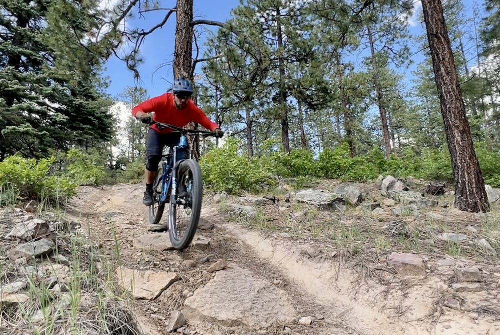
Over the years, many of the steep, fall-line trails in the system have fallen into disrepair through erosion and lack of use. However, a few key trails remain rideable and well-loved. This ride, the full shuttle run on the "Log Chutes Downhill," is a tale of two different trails. The upper section has fallen into severe disrepair, while the lower section is ridden more frequently and is a bit more forgiving.
If you choose to shuttle all the way to the top of the Log Chutes Downhill, be prepared for a steep, rough, gnarly ride! The upper section of the descent is overgrown and severely eroded, with a nasty trench down most of the trail. The erosion has revealed razor-sharp rocks that are just waiting to shred your side wall, as the author discovered the hard way. Also, be sure to ride heads-up for low-hanging branches and trees that may have fallen across the trail.
When you pass the major 4-way trail junction, you'll drop into the lower segment of the downhill run, and the trail character changes dramatically. Since this lower section is much easier to access, it's ridden much more frequently and sees more trail maintenance.
Immediately after the junction, sharp water bars provide air opportunities, but with the trail dropping quickly, it's best to exercise caution through this section. Keep your eye open for an alternate jump line off to the side of the main descent, but proceed with caution, as the jumps might be in disrepair.
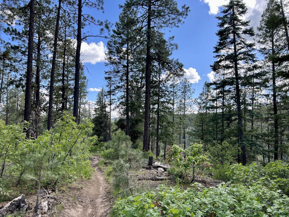
This upper section of this trail has seen some erosion and has a small trench down the middle at the time of this writing in June 2023. While it's fairly easy to avoid, it can definitely be a wheel grabber, so proceed with caution.
As the trail descends, the grade gradually mellows out, which only allows you to let off the brakes a bit more and open it up through a series of swoopy turns!
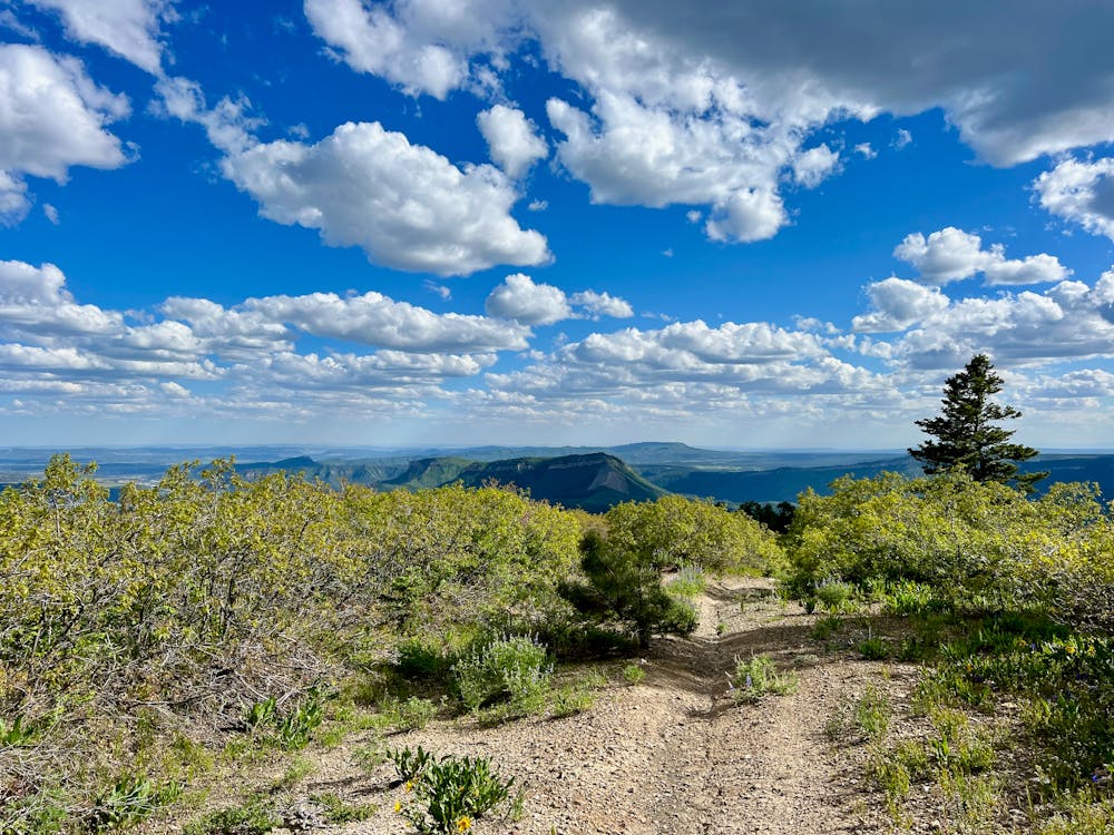
As the trail approaches a rim high above Junction Creek, the trail tread gets a bit rocky, with a few fun rock gardens and small drops. Nothing in this section is all that difficult, and even the small obstacles can be avoided. Soon the rocks disappear, and it's back to smooth singletrack, with a few optional jumps to finish the descent.
Severe
Widely variable, narrow trail tread with steeper grades and unavoidable obstacles of 15in/38cm tall or less. Obstacles may include unavoidable bridges 24in/61cm wide or less, large rocks, gravel, difficult root sections, and more. Ideal for advanced-level riders.

The trail contains some obstacles such as outcroppings and rock which could cause injury.
Away from help but easily accessed.
2 km away
A quick shuttle on one of the better trail segments in the Log Chutes.
Difficult Mountain Biking
4.3 km away
A quick loop on one of the better trail segments in the Log Chutes.
Difficult Mountain Biking
8.2 km away
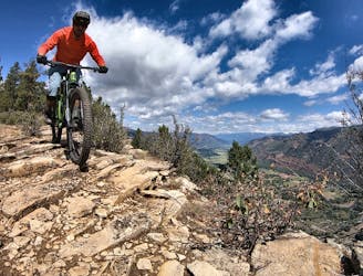
Stunning views and a ripping descent, right in Durango.
Severe Mountain Biking
8 routes · Mountain Biking