12 routes · Mountain Biking
The Palisade Rim joins two great lollipop loops atop the rimrock overlooking the Grand Valley for a unique and entertaining Colorado Plateau ride.
Mountain Biking Severe

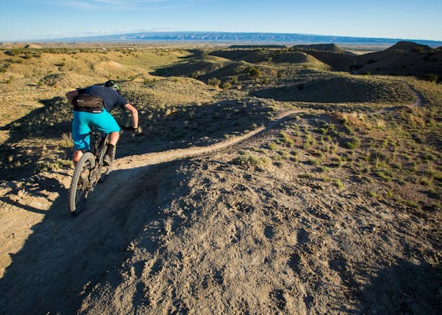
The Palisade Rim provides outstanding mountain biking on a classic example of the plateaus and rims that make up much of Colorado's western slope between the high peaks of the Rockies and Utah's deserts.
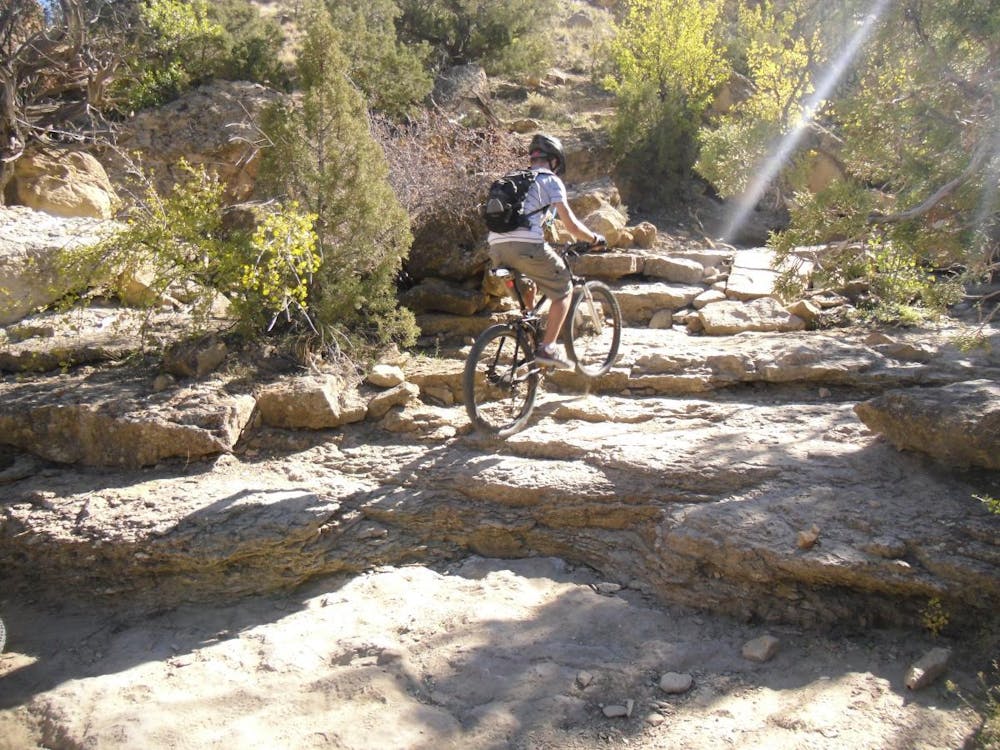
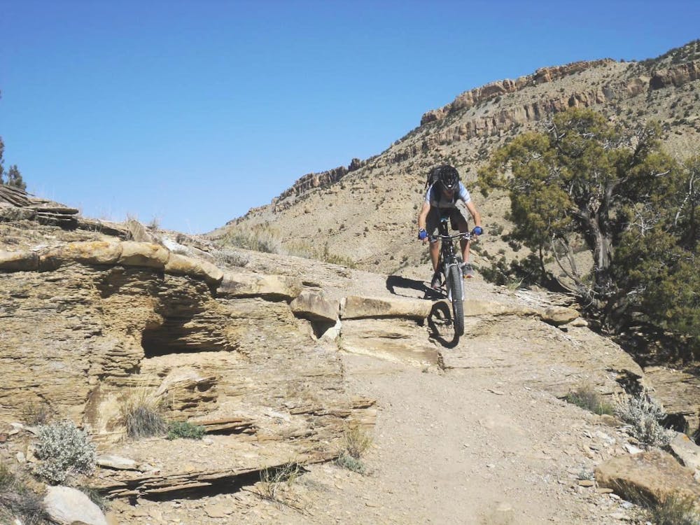
The full route combining both loops is just over eight miles, but it will likely feel like more. The ledgy climb requires solid, continuous effort with plenty of effort to clear the many ledges (or dismounts for those less skilled in technical climbing). The entire route is exposed with no shade or water. But the ride still provides excellent bang for your energy buck, especially once you reach the top of the plateau, where miles of entertaining singletrack await, alternating between flowy and ledgy.
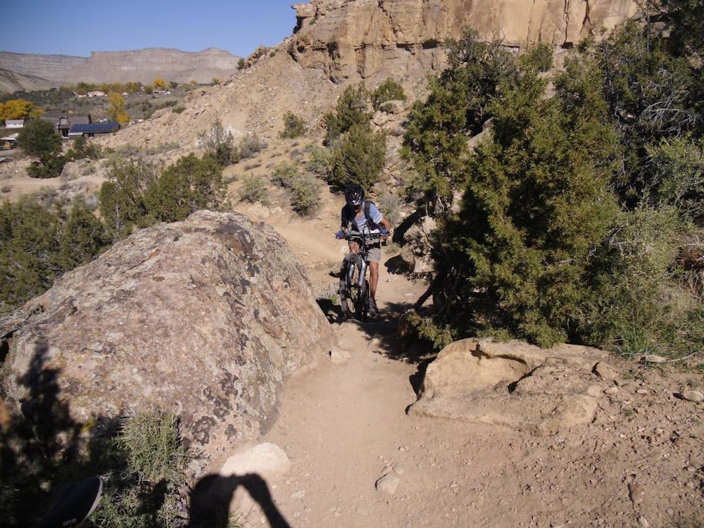
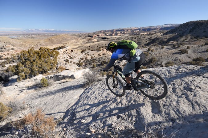
The loops ride well in either direction, but most riders prefer taking both loops clockwise. Some of the loop portions are fast and flowy as the nicely packed desert singletrack bobs and weaves along the contours of the mesa top, occasionally punctuated by rock moves of intermediate difficulty.
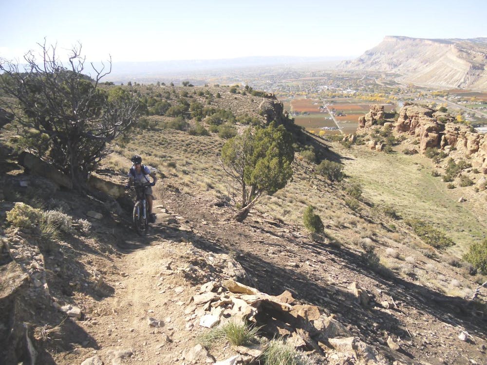
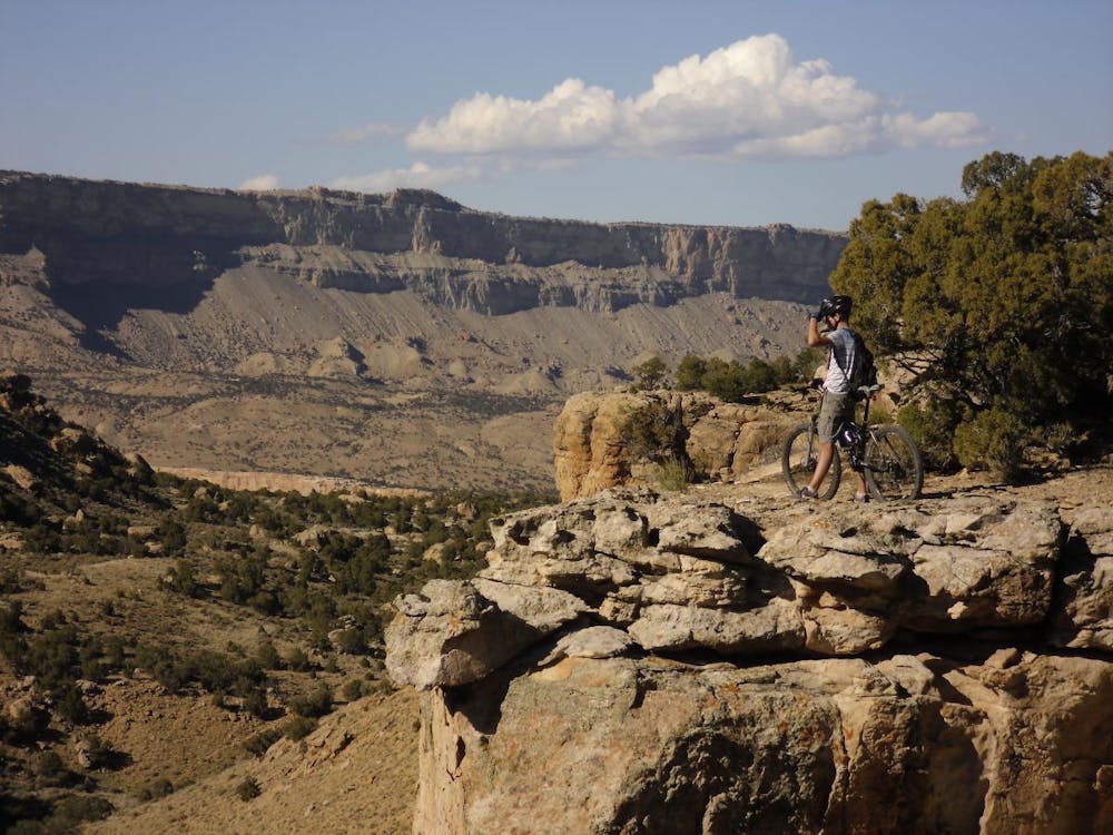
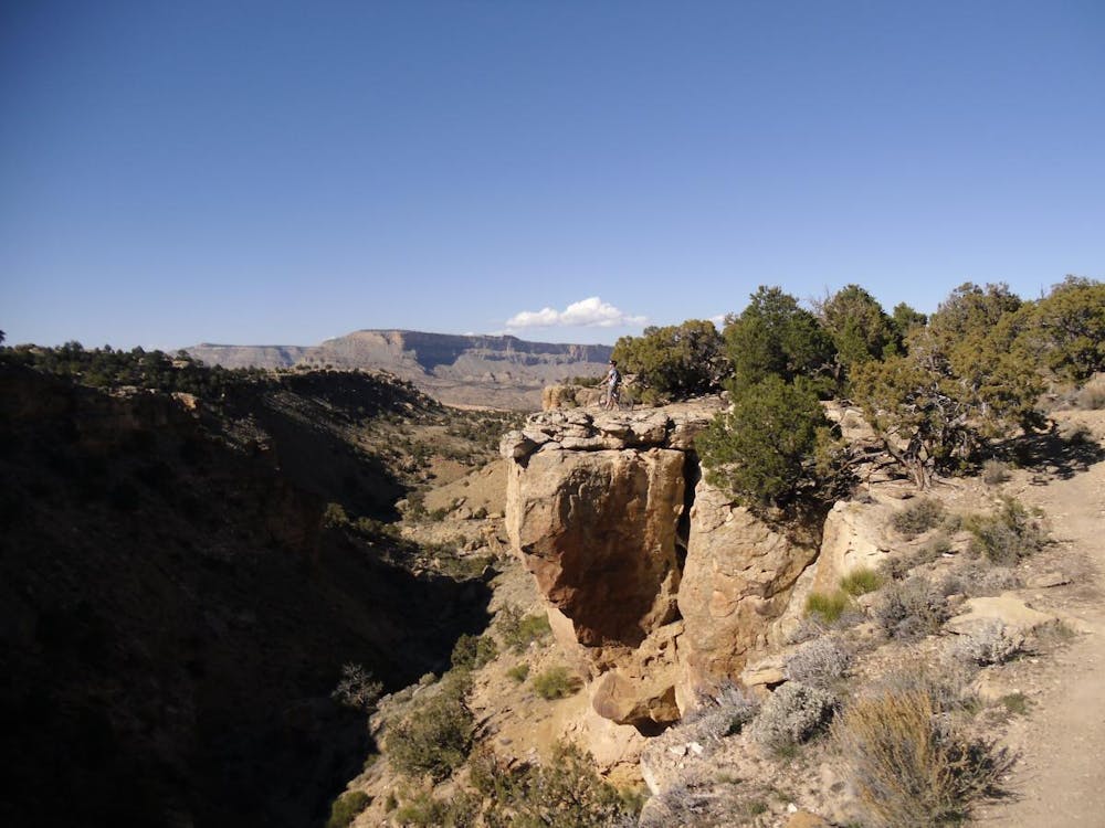
After reaching the southernmost part of the route, the loop turns back north and begins hugging the edge of the rim hundreds of feet above the valley floor below. This section is hugely entertaining under your knobbies and serves up fantastic scenery around every corner, but those easily spooked by heights and cliffside exposure may enjoy it rather less.
This rimside riding is definitely camera-at-the-ready territory, which provides plenty of photo ops for both scenery and action shots. The only drawback is having to stop if you want pictures, as the trail is just a blast to ride.
Although in Colorado at moderate elevation, this is still desert territory, and summer temps can soar, with the trail offering no relief from the blazing sun. If riding in the warmer months, be sure to get an early start and bring plenty of water.
Along with the entertaining, varied singletrack and the stellar views, the Palisade Rim offers one other key benefit for this area. It is a quick, easy drive from Fruita, almost all high-speed interstate, so it takes no longer to drive here than to the much busier 18 Road Trails. Despite that, this trail sees very little traffic. So when 18 Road, Kokopelli, and the Lunch Loops are mobbed with tourists, you can still cruise over here and have absolutely top-notch singletrack all to yourself.
-Written by John Fisch
Severe
Widely variable, narrow trail tread with steeper grades and unavoidable obstacles of 15in/38cm tall or less. Obstacles may include unavoidable bridges 24in/61cm wide or less, large rocks, gravel, difficult root sections, and more. Ideal for advanced-level riders.

Some trail sections are extremely exposed where falling will almost certainly result in serious injury or death.

Away from help but easily accessed.
12 routes · Mountain Biking
7 routes · Mountain Biking