1 m away
Upper Westside -> Town
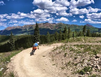
An absolutely fantastic rip that may have you wondering what the point of pedaling up Schofield Pass is.
Difficult Mountain Biking
- Distance
- 9.2 km
- Ascent
- 24 m
- Descent
- 466 m
Stunning rip down two-way singletrack that returns you to the bottom of the chairlift.
Mountain Biking Difficult

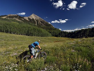
If you’re looking to trade in the constant downhill gnar for a classic singletrack descent that returns directly to the bottom of the chairlift, check out this run combination. While technically this run follows a three-trail combination (Upper Westside -> Westside -> Lower Westside) you really only need to look for the right turn onto Lower Westside. Just ensure you don’t turn left onto Happy Hour, and you’ll be golden!
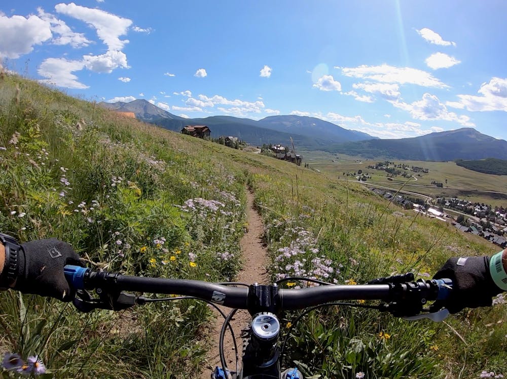
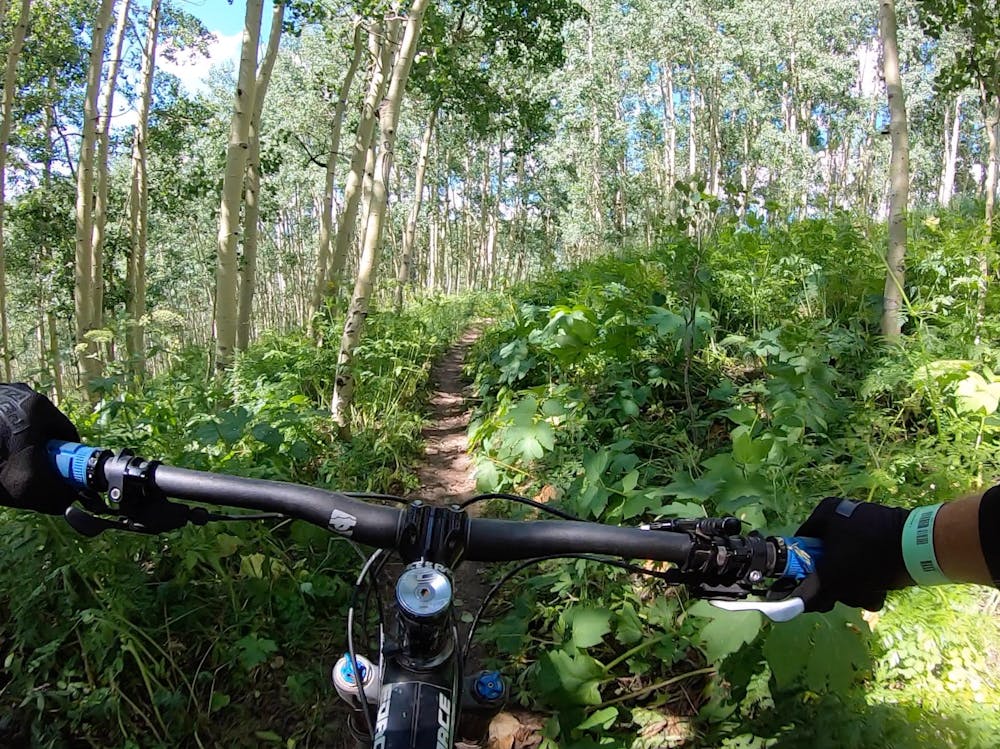
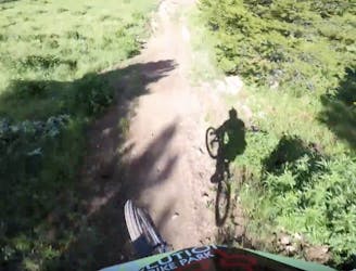
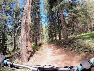
As you rip down Upper Westside, you could be forgiven for being surprised by an uphill rider on this two-way trail—the delightful rock gardens and eroded root webs have the feel of a downhill trail, just on a narrower trail tread. The upper section of trail is definitely black-diamond level, so bring your cojones!
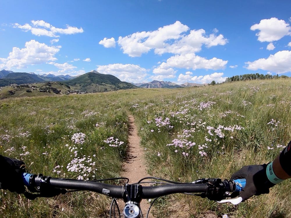
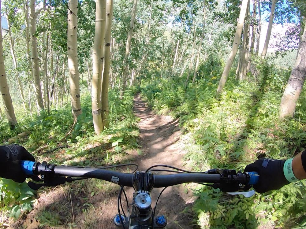
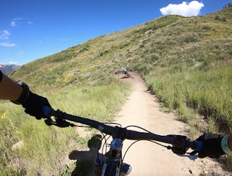
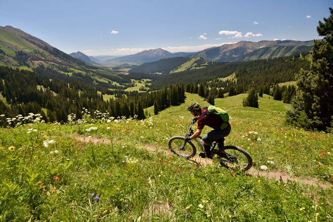
Lower down, the trail technicality mellows out dramatically. Especially once you reach Lower Westside, the singletrack turns into an ultra-narrow, flowy trail that winds its way down through wide-open alpine meadows and thick groves of aspen trees. The wildflowers on this section are stunning!
Take extra care to watch for uphill riders on this section. Riders will often climb Lower Westside to access Happy Hour and Upper Loop. With the tall flowers and blind corners, it’s easy to come upon another rider unexpectedly.
Finish this amazing ride right at the bottom of the chairlift, and head back up for more!
Difficult
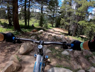
Mostly stable trail tread with some variability featuring larger and more unavoidable obstacles that may include, but not be limited to: bigger stones, roots, steps, and narrow curves. Compared to lower intermediate, technical difficulty is more advanced and grades of slopes are steeper. Ideal for upper intermediate riders.

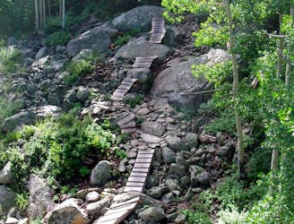
The trail contains some obstacles such as outcroppings and rock which could cause injury.
Away from help but easily accessed.
1 m away
An absolutely fantastic rip that may have you wondering what the point of pedaling up Schofield Pass is.
Difficult Mountain Biking
2 m away
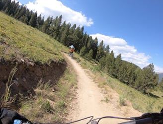
Relatively approachable for most riders, except for one massive rock garden in the middle.
Extreme Mountain Biking
26 m away
One of the best beginner flow trails you'll ever ride!
Easy Mountain Biking
26 m away
Intermediate flow trail with massive berms.
Moderate Mountain Biking
31 m away
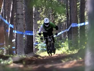
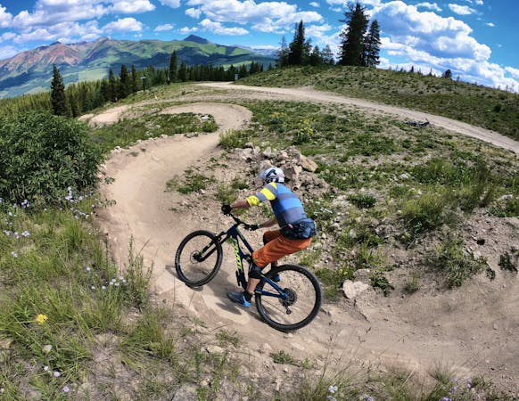
Crested Butte's classic black diamond jump run.
Severe Mountain Biking
31 m away
An old school downhill race run-style tech trail with something for everyone.
Severe Mountain Biking
34 m away
The best flow line in the Evolution Bike Park!
Moderate Mountain Biking
35 m away
One of the easiest trails in the Crested Butte Bike Park.
Easy Mountain Biking
35 m away
A delightful romp through the aspens, without the difficult climb.
Moderate Mountain Biking
201 m away
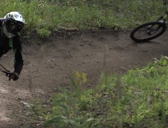
Hands-down the most technical, sketchy trail in the CBMR bike park.
Extreme Mountain Biking
12 routes · Mountain Biking
12 routes · Mountain Biking
5 routes · Mountain Biking
6 routes · Mountain Biking