West Avon Preserve
Beaver Creek
Flow trail both up AND down the mountain? It might sound like a fantasy, but your dream can become a reality at West Avon Preserve.
Mountain Biking Moderate
- Distance
- 9.2 km
- Ascent
- 307 m
- Descent
- 307 m
- Duration
- 0-1 hrs
- Low Point
- 2.3 km
- High Point
- 2.5 km
- Gradient
- 7˚

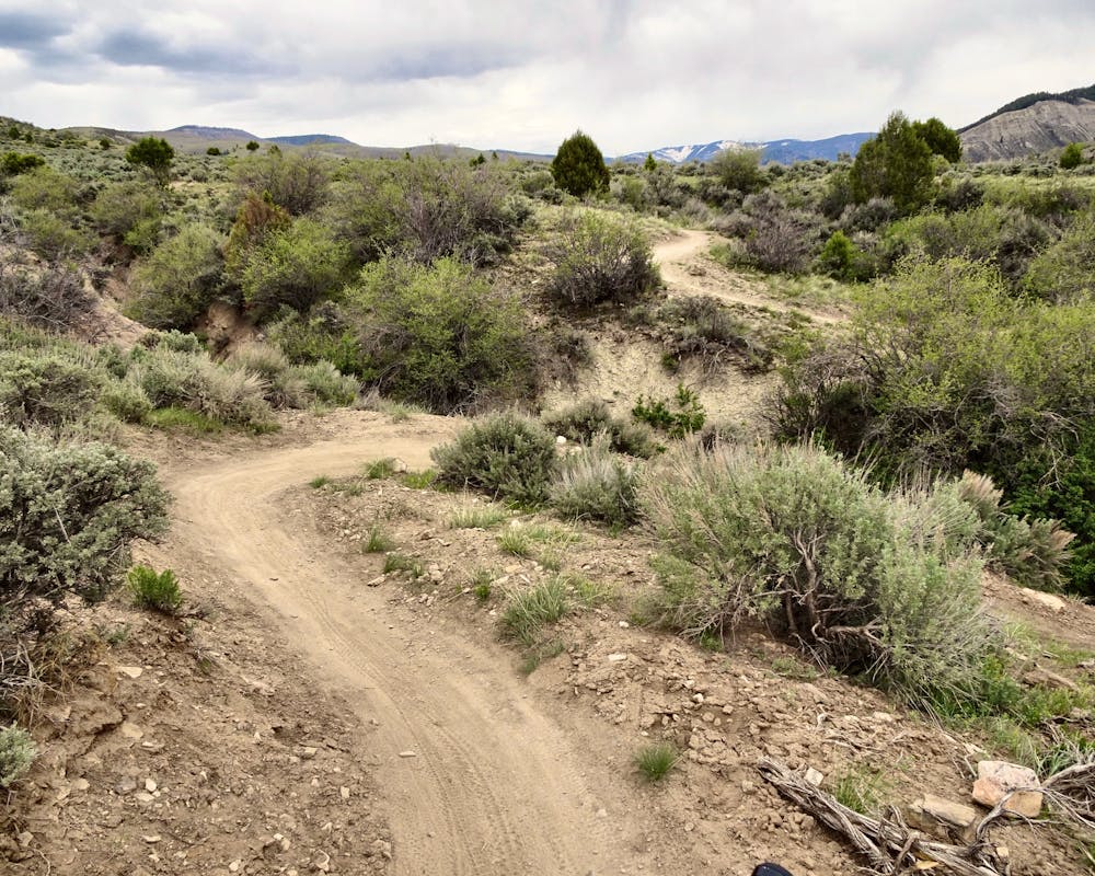
The trails at West Avon Preserve, aka Wild Ridge, defy convention. Most riders consider some trails to be climbing trails and some trails to be descending trails, and while that does hold true somewhat in this trail network (the route mapped here is the recommended direction), every single trail here is built as a flow trail. That means that even the "climbing trails" have massive berms and incredible swoop and flow that will make you think, "I wish I was descending right now!"
- •
- •
- •
- •
Description
Overall the trails in this network are incredibly smooth and non-technical. Aside from a handful of small rock features, these trails are buff and flowy to the max! That said, the steep grades both up and down make this trail network decidedly intermediate, although a fit rider with beginner skills could still do quite well. For a true beginner loop, drive to the top of the mountain, park at the upper trailhead, and ride the short Backyard loop found there.
The highlight of the network is the full-on flow trail descent down Lee's Way. With massive berms and jumps, and some small drops mixed in, it's classic flow trail throughout. Less skilled riders can choose to roll the jumps, whereas advanced riders can boost the tables (some of which are quite large) for mad air opportunities.
Lee's Way is actually quite steep in places for a flow trail, with fall away berms and steep drops leading to braking bumps. Sustainability and trail wear aside, the combination of steeps plus berms and jumps makes for an engaging descent with some interesting surprises!
Once back at the bottom, looking at your GPS and realizing you haven't even ridden 6 miles yet may just prompt you to head back up for lap 2!
Difficulty
Moderate
Mostly stable trail tread with some variability, with unavoidable obstacles 8in/20cm tall or less. Other obstacles such as rock gullies and steep sections may exist. Ideal for lower intermediate riders.
Medium Exposure

The trail contains some obstacles such as outcroppings and rock which could cause injury.
Remoteness

Close to help in case of emergency.
Best time to visit
Features
- Flow
- Drops
- Tabletops