2.5 km away
Little Brave Uphill

Uphill access on a blue trail from Arrowhead Village at Beaver Creek.
Moderate Resort Ski Touring
- Distance
- 2.9 km
- Ascent
- 518 m
- Descent
- 0 m
Uphill access on green trails from Beaver Creek’s lower base area.
Resort Ski Touring Easy

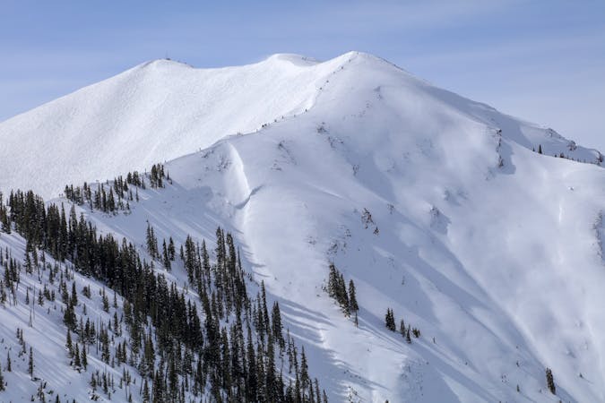
Beaver Creek offers a handful of designated routes for uphill access outside of operating hours. This one starts at Lower Beaver base area and stays on green trails. The gradient is mellow, but the 2.5-mile route still earns nearly 2000 feet of vertical if you take it to the top, making a respectable morning or evening workout. Note that Beaver Creek’s uphill policy states that designated routes are subject to change, so be sure to review the policy and call the trails hotline (970) 754-5907 for updates before you go.
Easy

Close to help in case of emergency.
2.5 km away
Uphill access on a blue trail from Arrowhead Village at Beaver Creek.
Moderate Resort Ski Touring
3.6 km away

Designated route for skinning in the morning or evening at Beaver Creek.
Moderate Resort Ski Touring
40 routes · Resort Ski Touring