Cherry Creek Trail: Confluence Park to Cherry Creek State Park
Creekside greenway through downtown Denver with shopping, dining, and cultural attractions along the way.
Easy Road Biking
- Distance
- 23 km
- Ascent
- 200 m
- Descent
- 60 m
A long distance bike path running from downtown Denver into the farmland to the south.
Road Biking Easy

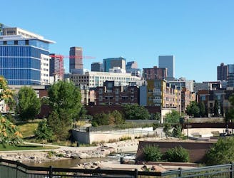
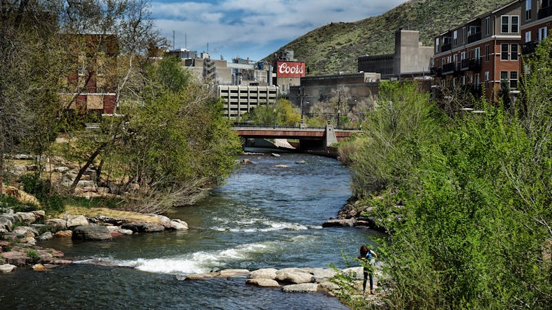
Denver is centered around the confluence of two streams, Cherry Creek and the South Platte River. The urban trail along Cherry Creek makes a unique way to experience the city, by biking or walking a corridor of greenery near many downtown highlights.
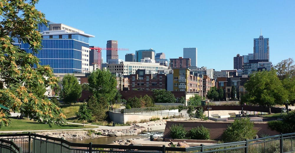
The 14-mile, paved stretch of Cherry Creek Trail between Confluence Park and Cherry Creek State Park links several shopping centers, museums, eateries, and other public parks. On the trail, you’ll travel beside a flowing creek, among colors of nature and the changing seasons. At any point you can hop off the trail and onto the street to find a beer, a meal, a shop, or any other urban attraction. Cherry Creek Trail is the perfect route for exploring Denver on your own power and your own schedule, whether by yourself, with family, or with friends.
The path cuts through the heart of the city, so the places you can access are too numerous to name. Some highlights include: Larimer Square, Museum of Contemporary Art, Downtown Children’s Playground, REI, Patagonia Denver, the Theatre District, Four Mile Historic Park, and Cherry Creek Shopping Center. Restaurants and breweries near the trail include: Just BE Kitchen, Gateaux Bakery, Denver Diner, Racines Restaurant, Dazbog Coffee, Lowdown Brewery, and Bull & Bush Brewery.
From the center of the city, the Cherry Creek Trail runs for 40 miles to the south, connecting to the suburbs and then eventually entering beautiful rural farmland. You can make your ride on the Cherry Creek Trail as short or as long as you'd wish!
Sources: https://www.denver.org/things-to-do/sports-recreation/bike-trails/ https://www.thedenverear.com/cherry-creek-trail-mapped/ https://maps.google.com/maps/ms?msid=217122680913578821926.000438f60087244c207f7&msa=0
Easy

Close to help in case of emergency.
Creekside greenway through downtown Denver with shopping, dining, and cultural attractions along the way.
Easy Road Biking
5 routes · Hiking · Road Biking