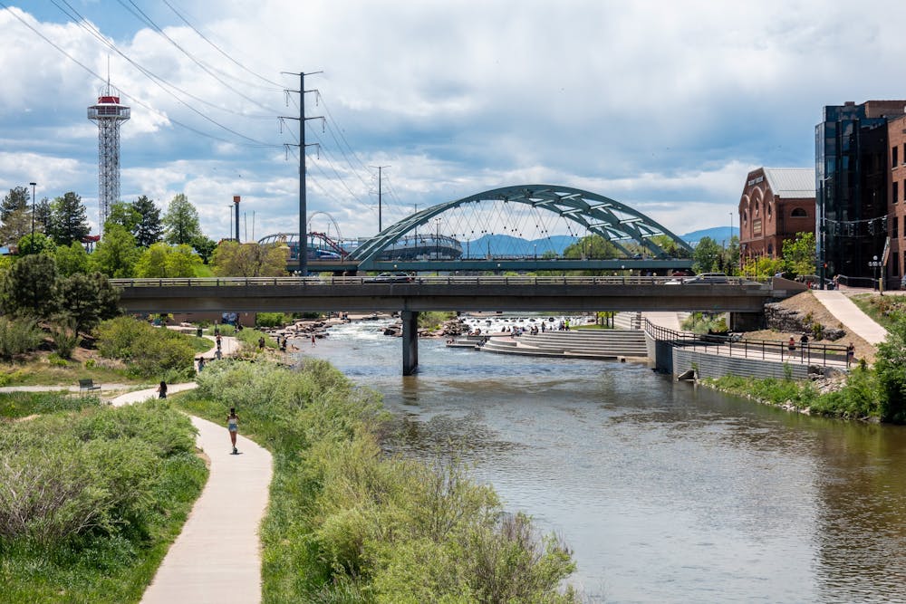
South Platte River Greenway
Denver
A beautiful greenway corridor passing through the heart of Denver.
Road Biking Easy
- Distance
- 77 km
- Ascent
- 470 m
- Descent
- 295 m
- Duration
- 3-4 hrs
- Low Point
- 1.5 km
- High Point
- 1.7 km
- Gradient
- 1˚

The South Platte River Greenway is one of the longest greenway paths in the Denver Metro Area. This 48-mile trail begins far to the north of the metro area and follows the South Platte River through the very heart of downtown Denver. It continues heading south, winding through an assortment of suburbs, before finally passing through Chatfield State Park and ending at the mouth of Waterton Canyon, near where the Colorado Trail begins.

- •
- •
Description
Historically, the South Platte River corridor was an extremely polluted riverway running through the heart of the city. The current greenway corridor is notable for its tremendous transformation from a neglected and polluted area into a beautiful natural resource and a fantastic recreational trail. The rehabilitation efforts began in 1974, and the trail was named a National Recreation Trail just four years later in 1978. Today, it's even better than ever and is one of the most popular recreational and human-powered transportation corridors in the city.
This mostly-paved greenway path is perfect for all types of trail users, ranging from road cyclists (both recreational cyclists and commuters) to walkers/hikers, runners, skaters, and more. The entire 48-mile point-to-point route is shown here, but you can ride as little or as much of it as you want as an out-and-back route. For an even longer ride, this path connects to other long-distance trails, such as the Cherry Creek Trail, High Line Canal Trail, and Bear Creek Trail.
And if you're on a mountain bike, you can use this trail as a prelude to the Colorado Trail by pedaling from downtown Denver to the beginning of the Colorado Trail and then following one of the most epic bikepacking routes in the nation all the way to the town of Durango, in the southwestern corner of the state.
The scale of your adventure on the South Platte River Greenway is entirely up to you!
Sources: https://www.uncovercolorado.com/hiking/platte-river-greenway-trail/ https://www.codot.gov/travel/colorado-byways/northeast/so-platte-trail https://trails.colorado.gov/trails/south-platte-river-5149 https://www.traillink.com/trail/platte-river-trail-(co)/ https://www.colorado.com/articles/south-platte-river-trail
Difficulty
Easy
Remoteness

Close to help in case of emergency.