Beacon Peak South Couloir
Nederland
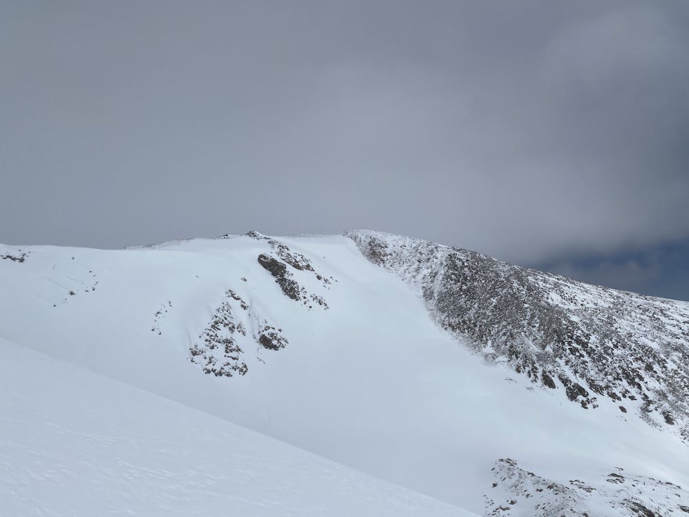
A good-looking, curvy, cross-loaded couloir.
Ski Touring Difficult
- Distance
- 919 m
- Ascent
- 1 m
- Descent
- 288 m
- Duration
- 0-1 hrs
- Low Point
- 3.4 km
- High Point
- 3.7 km
- Gradient
- 37˚

This is a popular ski touring route which is generally considered to be difficult. It's remote, it features low exposure (e1) and is typically done between March and May. From a low point of 3.4 km to the maximum altitude of 3.7 km, the route covers 919 m, 1 vertical metres of ascent and 288 vertical metres of descent. It's graded 3.1 and Labande grade 3. You'll need skins and crampons to complete it safely.
Description
The recommended approach is to climb the line itself, from about treeline in the Arapaho Lakes zone. It's the obvious couloir on the right side of the upper cirque. This should be skiable from the summit.
Difficulty
Difficult
Serious gradient of 30-38 degrees where a real risk of slipping exists.
Low Exposure (E1)

Exposure is limited to that of the slope itself. Getting hurt is still likely if the slope is steep and/or the snow is hard.
Remoteness

Away from help but easily accessed.
Best time to visit
Features
- Alpine
- Couloir
- Single Descent
- Ski Mountaineering
Equipment required
- Skins
- Crampons