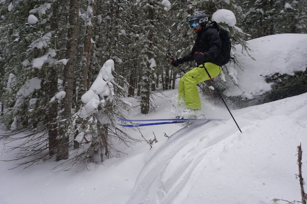
Crater Trees
Nederland
A low-angle option for dangerous days.
Ski Touring Easy
- Distance
- 405 m
- Ascent
- 0 m
- Descent
- 114 m
- Duration
- 0-1 hrs
- Low Point
- 3.1 km
- High Point
- 3.2 km
- Gradient
- 20˚

Follow signs towards Crater Lakes, starting on the South Boulder Creek Trail and turning right up the Crater Lakes Trail. Once the trail evens out a bit, pick your way down through the somewhat-tight trees. Keep on the lookout for the South Boulder Creek Trail, as if you go too far you'll end up very wet and very upset.
Difficulty
Easy
Wide gentle slopes at around 20 degrees or less.
Low Exposure (E1)

Exposure is limited to that of the slope itself. Getting hurt is still likely if the slope is steep and/or the snow is hard.
Remoteness
Close to help in case of emergency.
Best time to visit
Features
- Tree Skiing
Equipment required
- Skins