Hump 2
Salida
Tree skiing in a much less frequented part of Monarch Pass.
Ski Touring Moderate
- Distance
- 1.2 km
- Ascent
- 0 m
- Descent
- 380 m
- Duration
- 0-1 hrs
- Low Point
- 3.1 km
- High Point
- 3.5 km
- Gradient
- 26˚
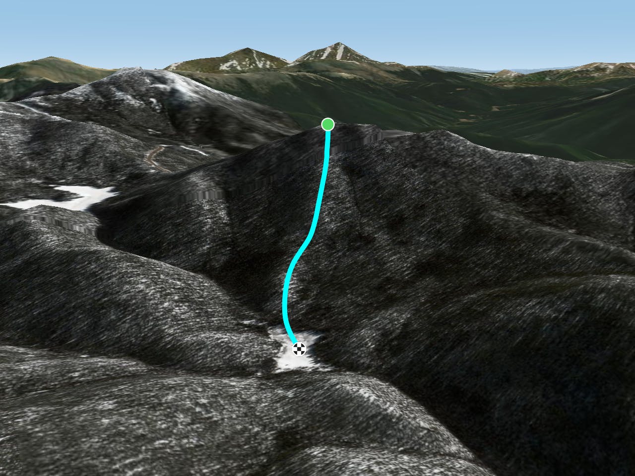
This is a popular ski touring route which is generally considered to be moderate. It's not remote, it features low exposure (e1) and is typically done between December and May. From a low point of 3.1 km to the maximum altitude of 3.5 km, the route covers 1.2 km, 0 vertical metres of ascent and 380 vertical metres of descent. It's graded 1.2 and Labande grade 2. You'll need skins to complete it safely.
Description
What happened to Hump 1? We don't know. From the pulloff for CR 237B, go towards the summit of Pt. 11,562'. On the false summit, go west (right) into the trees. Ski until the beaver ponds in a meadow.
Difficulty
Moderate
Slopes become slightly steeper at around 25-30 degrees.
Low Exposure (E1)

Exposure is limited to that of the slope itself. Getting hurt is still likely if the slope is steep and/or the snow is hard.
Remoteness
Close to help in case of emergency.
Best time to visit
Features
- Tree Skiing
Equipment required
- Skins