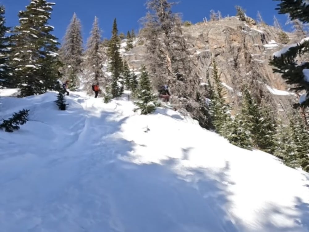
Mario Gully
Rocky Mountain National Park
Stomp goombas all the way down.
Ski Touring Moderate
- Distance
- 670 m
- Ascent
- 19 m
- Descent
- 161 m
- Duration
- 0-1 hrs
- Low Point
- 2.9 km
- High Point
- 3.1 km
- Gradient
- 31˚

This is a popular ski touring route which is generally considered to be moderate. It's not remote, it features low exposure (e1) and is typically done between December and April. From a low point of 2.9 km to the maximum altitude of 3.1 km, the route covers 670 m, 19 vertical metres of ascent and 161 vertical metres of descent. It's graded 2.1 and Labande grade 2. You'll need skins to complete it safely.
Description
The drops are generally smaller than in Terrain Park but way more frequent. This area holds great snow as well. From Lake Haiyaha, go east following Chaos Creek. Once at the bottom take a hard left to get back to the Nymph Lake Trail.
Difficulty
Moderate
Slopes become slightly steeper at around 25-30 degrees.
Low Exposure (E1)

Exposure is limited to that of the slope itself. Getting hurt is still likely if the slope is steep and/or the snow is hard.
Remoteness
Close to help in case of emergency.
Best time to visit
Features
- Cliffs
- Tree Skiing
Equipment required
- Skins