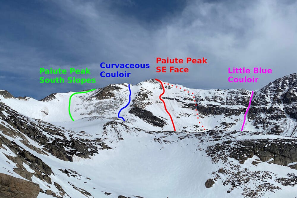
Paiute Peak South Slopes
The easiest line up and down Paiute Peak, used to approach lines and also as a backup.
Ski Touring Difficult
- Distance
- 1.3 km
- Ascent
- 377 m
- Descent
- 2 m
- Duration
- 1-2 hrs
- Low Point
- 3.6 km
- High Point
- 4 km
- Gradient
- 34˚

This is a much easier alternative to the other line on Paiute, although it gets hit by the sun at the same time as the rest of the mountain. It's lower consequence, however.
- •
- •
Description
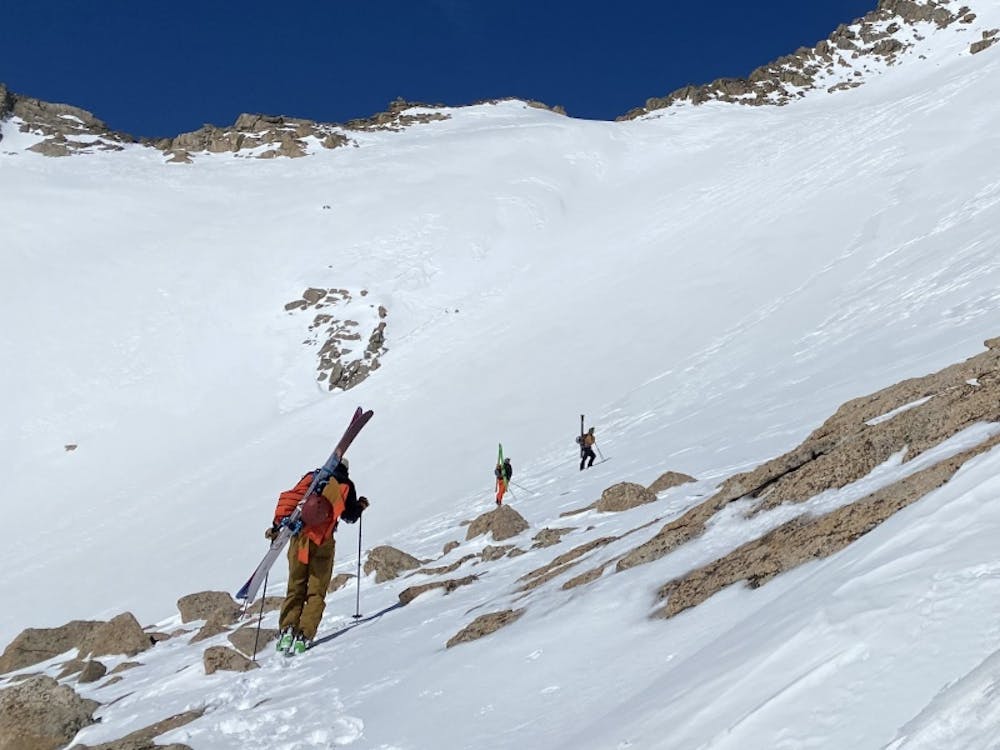
Take the Mitchell Lake Trail to Little Blue Lake. Going southwest, make your way over rocky patches to the base of the slope. Put in a bootpack wherever you deem necessary until you reach the nice platform at the top of the line. Should you wish to reach the summit of this 13er, follow the ridgeline north. Depending on the season, this upper section may be skiable.
Difficulty
Difficult
Serious gradient of 30-38 degrees where a real risk of slipping exists.
Low Exposure (E1)

Exposure is limited to that of the slope itself. Getting hurt is still likely if the slope is steep and/or the snow is hard.
Remoteness

Little chance of being seen or helped in case of an accident.
Best time to visit
Features
- Face
- Alpine
- Single Descent
- Ski Mountaineering
Equipment required
- Skins
- Crampons