1.6 km away
East Ridge 9
Nice long decent off Peak 9 Summit
Difficult Ski Touring
- Distance
- 1.6 km
- Ascent
- 0 m
- Descent
- 532 m
Hike Route that starts from the Backcountry Gate
Ski Touring Moderate
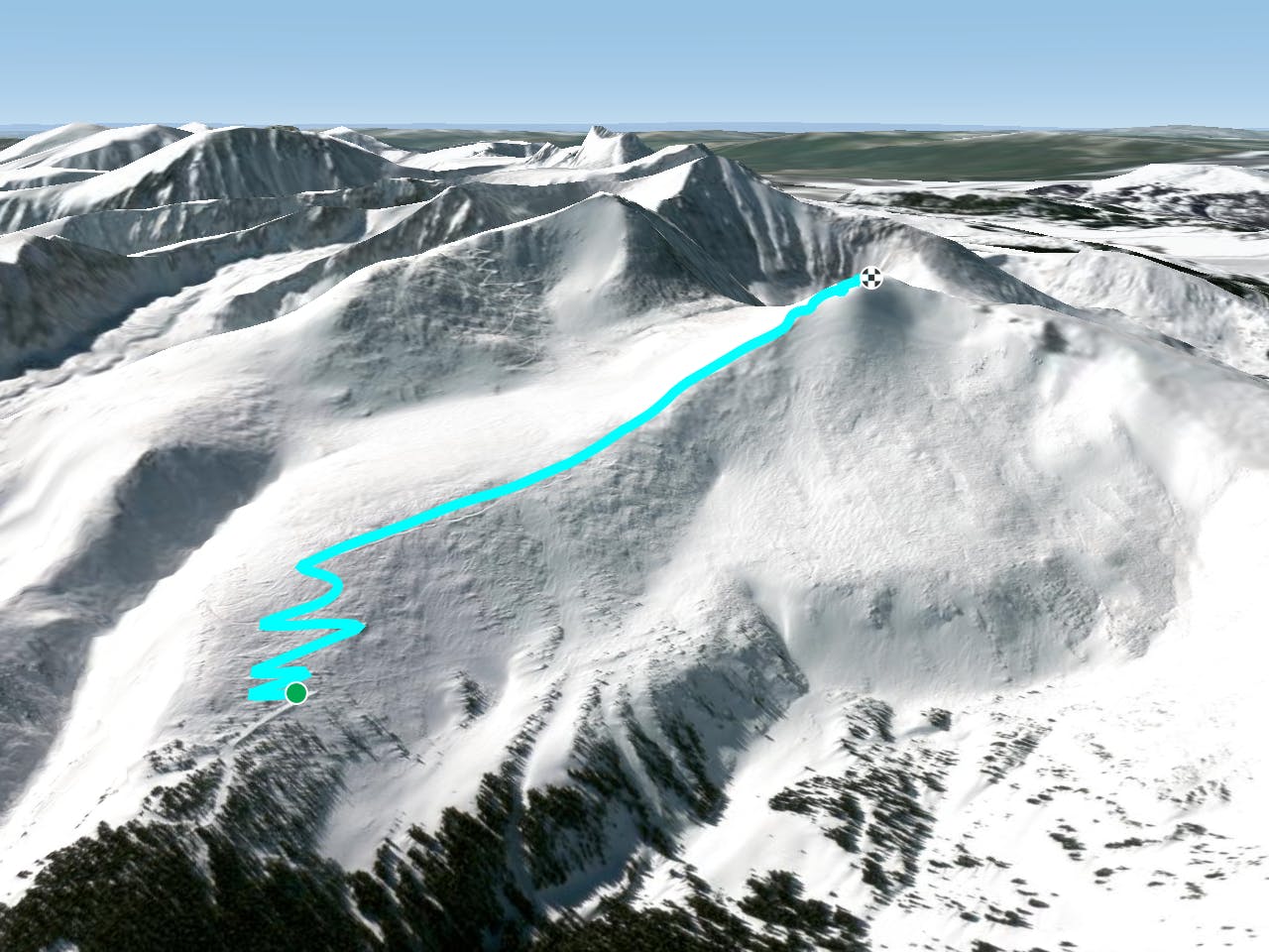
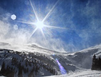
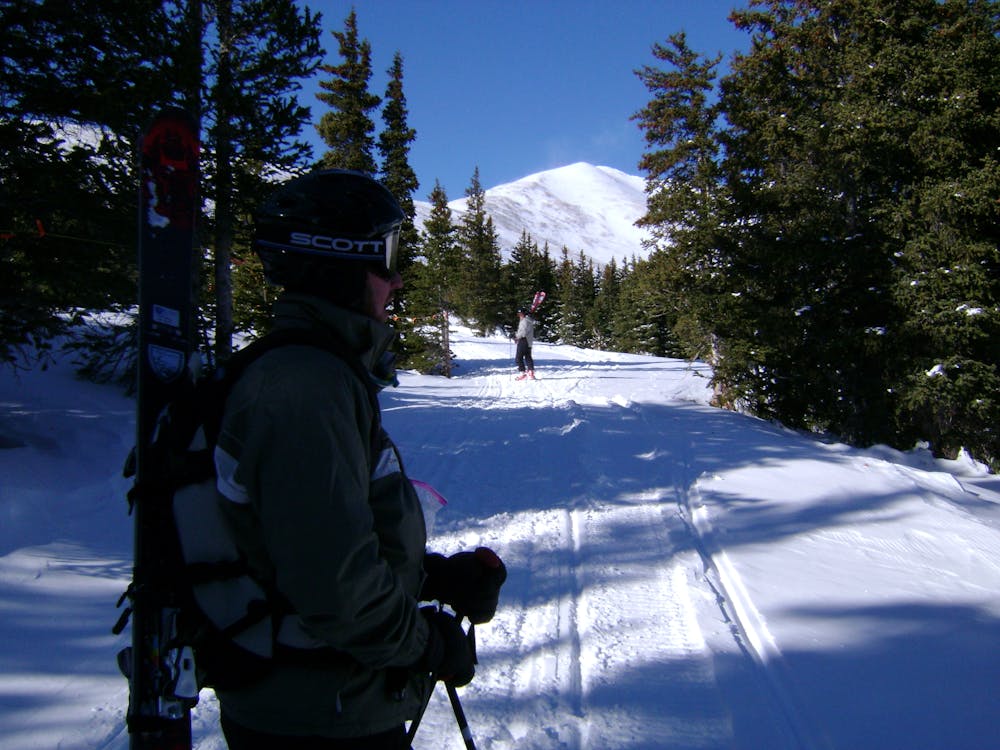
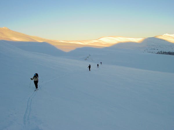
This is the route that will allow you to access either Peak 10 or Peak 9 summits. On the map, this route will continue to the summit of Peak 9. It starts at the top of Twin Chutes Zone, and you must enter through the gate. It will zig zag up and over the east ridge of Peak 9 then flatten out as you hike towards the Peak 9 Summit. Near the Summit it will start to get steep again, and you will have to zig zag back up to reach it. Visibility here can be tough and may change at any moment, Please be advised as this area is extremely exposed to high winds.
Moderate
Slopes become slightly steeper at around 25-30 degrees.

As well as the slope itself, there are some obstacles (such as rock outcrops) which could aggravate injury.

Little chance of being seen or helped in case of an accident.
1.6 km away
Nice long decent off Peak 9 Summit
Difficult Ski Touring
8.8 km away
The approach to a backcountry hut with an abundance of touring opportunities.
Easy Ski Touring
6 routes · Ski Touring