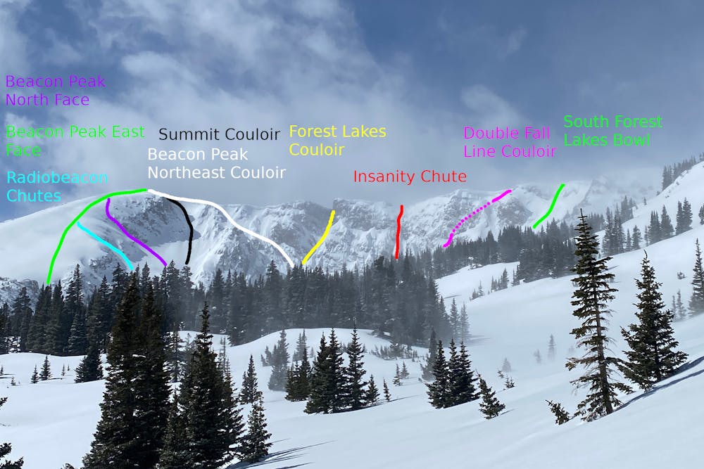
Radiobeacon Chutes
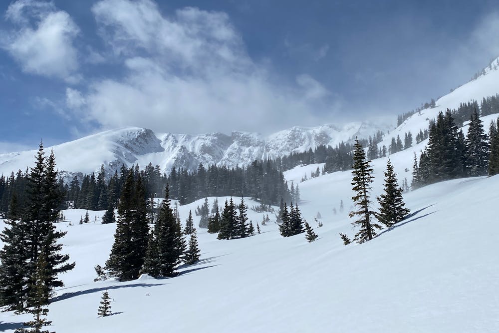
Nederland
Adds some steepness consistency to a descent of the East Face.
Ski Touring Difficult
- Distance
- 413 m
- Ascent
- 0 m
- Descent
- 195 m
- Duration
- 0-1 hrs
- Low Point
- 3.4 km
- High Point
- 3.5 km
- Gradient
- 45˚

This is a popular ski touring route which is generally considered to be difficult. It's remote, it features low exposure (e1) and is typically done between April and May. From a low point of 3.4 km to the maximum altitude of 3.5 km, the route covers 413 m, 0 vertical metres of ascent and 195 vertical metres of descent. It's graded 3.2 and Labande grade 3. You'll need skins to complete it safely.
- •
- •
Description
Follow approach up the East Face. Instead of descending the lower less-steep part of the line, go skier's left into the north-facing chutes, ending up in the Upper Forest Lakes zone.
Difficulty
Difficult
Serious gradient of 30-38 degrees where a real risk of slipping exists.
Low Exposure (E1)

Exposure is limited to that of the slope itself. Getting hurt is still likely if the slope is steep and/or the snow is hard.
Remoteness

Away from help but easily accessed.
Best time to visit
Features
- Face
- Alpine
- Couloir
- Ski Mountaineering
Equipment required
- Skins