1.4 km away
Sally Barber Road
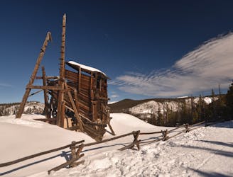
An easily-approachable snowshoe with a rewarding view from a historic mine.
Easy Snow Shoeing
- Distance
- 8.5 km
- Ascent
- 249 m
- Descent
- 249 m
Snowshoe out-and-back on the popular Boreas Pass.
Snow Shoeing Easy

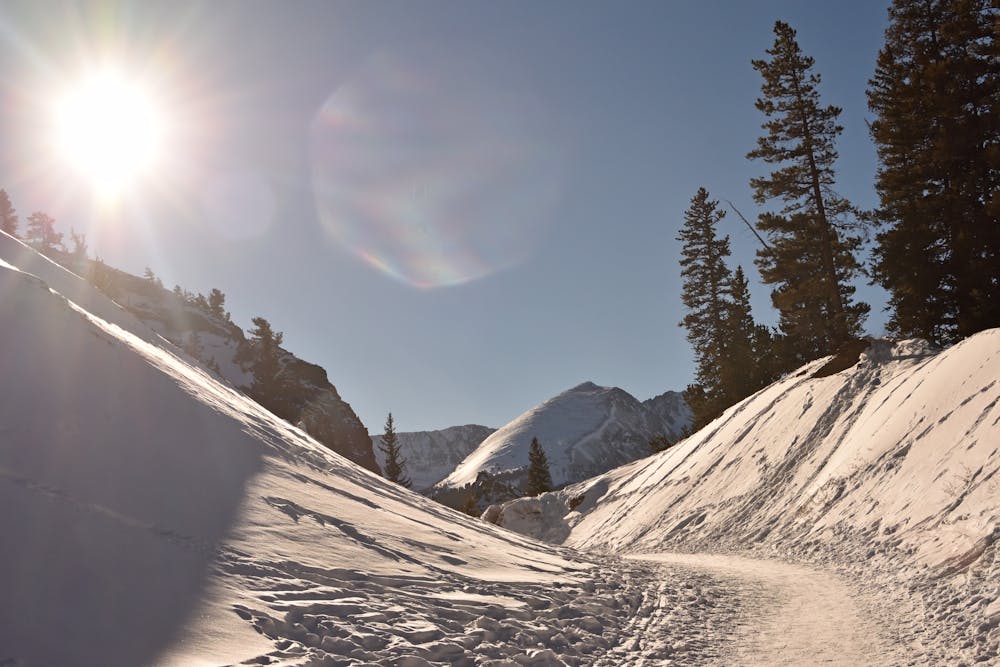
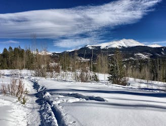
Boreas Pass Road is a dirt road that travels over (you guessed it) Boreas Pass at 11,500 feet elevation to connect Breckenridge and Como, Colorado. It is open to cars in the summer, but when the road is closed in the winter time it transforms into one of the most popular winter recreation hotspots in Breckenridge. From snowshoers to fat bikers to cross country skiers and even snowmobilers, everybody that enjoys traveling on snow can make use of Boreas Pass Road to climb high into the mountains of White River National Forest.
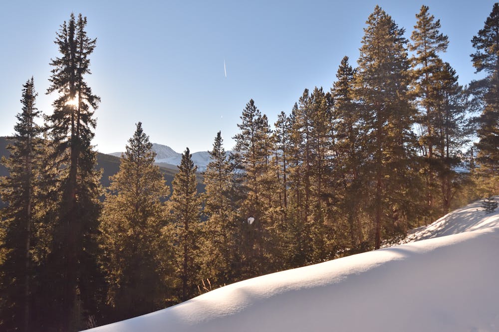
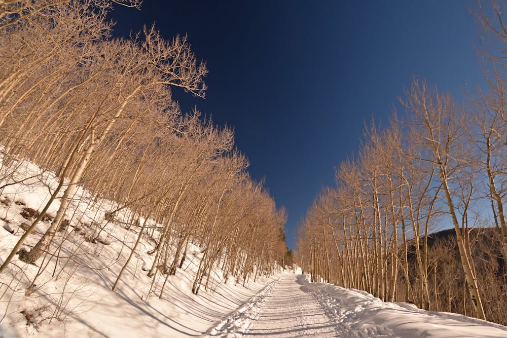
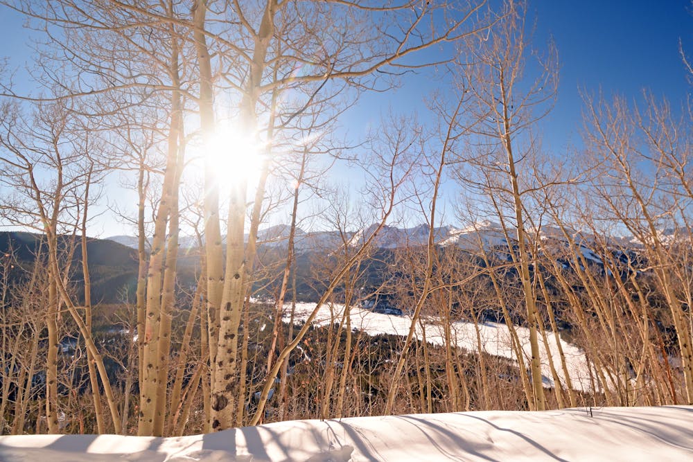
Beginning from Breckenridge, take Boreas Pass Road south of town until the pavement ends and a gate marks the boundary of the national forest. Beautiful aspen groves are the first major attraction, especially when the leaves change in fall. From clearings, which are plentiful, you’ll get great views over your shoulder of Breckenridge Ski Resort and of the high peaks all around. Mt. Argentine is the treed summit just across the valley to the west, and Bald Mountain is the steep-sided giant that towers directly overhead.
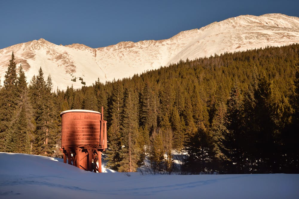
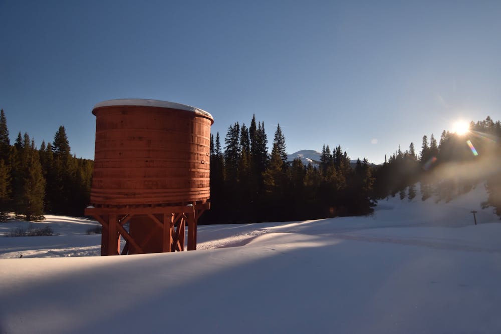
This pass used to be a major mining corridor with a railroad through it. Along the way you can find remnants of the mine towns and the railroad machinery. Some of the sites are marked but others are not, so keep your eyes peeled. Also watch for wildlife like deer, elk, and mountain goats.
For snowshoers, the pass can offer as little or as much adventure as you’re inclined to undertake. Since the top of the pass is a full 6.5 miles from the trailhead, very few snowshoers tend to climb all the way to the top. One option is to loop Boreas Pass with the popular Baker Tank trail.
Otherwise, just continue as far as you want, and then turn around and head back down.
Sources: https://www.fs.usda.gov/Internet/FSEDOCUMENTS/stelprdb5186841.pdf
Easy

Exposure is limited to that of the slope itself. Getting hurt is still likely if the slope is steep and/or the snow is hard.

Away from help but easily accessed.
1.4 km away
An easily-approachable snowshoe with a rewarding view from a historic mine.
Easy Snow Shoeing
2.5 km away
A gorgeous loop through deep forests, with occasional stunning views of the mountains.
Moderate Snow Shoeing
4.8 km away
A point-to-point snowshoe on the Peaks Trail
Easy Snow Shoeing