4 routes · Trail Running
A high-value shorter version of the "Big Loop."
Trail Running Difficult

Golden Gate Canyon State Park is a haven for hikers and runners, protecting some of the most beautiful terrain on the Colorado Front Range. The park is separated from the urban centers and metropolitan sprawl of the Denver area, but it's still only 14 miles up the road from the town of Golden.
The park is home to a slew of fantastic trails, but many of them combine into shorter routes or out-and-backs. If you're looking for a loop hike or run but don't want to tackle the full 13-mile big loop, this shorter 4.6-mile loop on the Black Bear and Horseshoe trails is just the ticket!
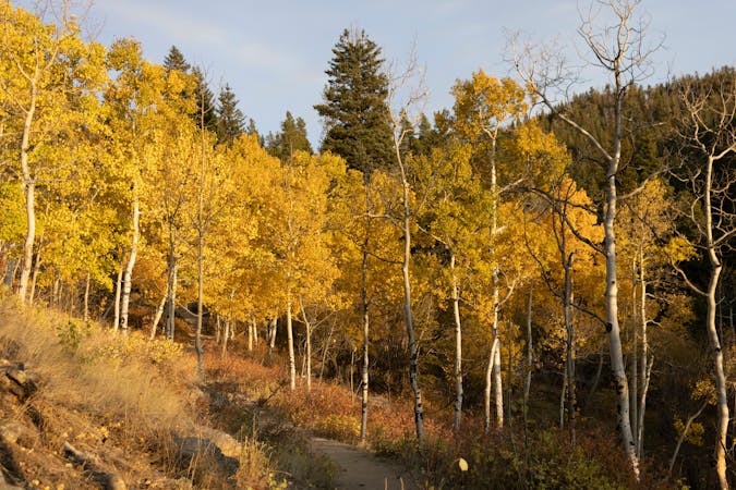
This gorgeous loop offers varied terrain ranging from steep mountainsides, towering pine forests, whispering aspen groves, wide-open meadows, and panoramic views from high points.
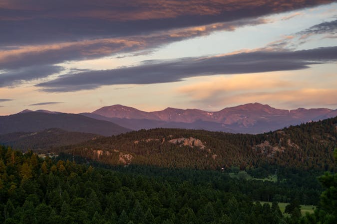
The loop begins at a lower trailhead near the junction of Golden Gate Canyon Road and Crawford Gulch Road. From there, it climbs quickly on the Black Bear trail, topping out at a beautiful overlook high on the ridge. The loop then takes a few right turns to reach the Horseshoe Trail, following a narrow valley back down the mountainside.
While this loop might be short, it packs a stiff 1,200 vertical feet of climbing into its short 4.6-mile distance!
Sources: https://cpw.state.co.us/placestogo/Parks/goldengateCanyon https://www.visitgolden.com/outdoors/parks/golden-gate-canyon-state-park/ https://www.uncovercolorado.com/state-parks/golden-gate-canyon/ https://en.wikipedia.org/wiki/GoldenGateCanyonStatePark
Difficult

The trail contains some obstacles such as outcroppings and rock which could cause injury.
Away from help but easily accessed.
4 routes · Trail Running
21 routes · Trail Running