21 routes · Trail Running
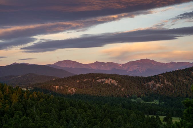
A gorgeous loop circumnavigating Centennial Cone.
Trail Running Moderate

Centennial Cone is renowned as one of the most beautiful trails close to Golden. This 17-mile loop provides a near-backcountry experience as it circumnavigates the eponymous cone. The trail passes through grasslands and forests, hugging the mountainsides on narrow benches and rolling through the flats.

The singletrack at Centennial Cone is known for its modern, high-quality trail construction that both minimizes erosion and provides a fantastic trail experience for all trail users. As a result, this loop is extremely popular with hikers, mountain bikers, trail runners, and equestrians.
In order to reduce trail use conflicts, Centennial Cone utilizes an alternating use schedule: hiking and horseback riding are allowed on odd-numbered dates, while biking is permitted on even-numbered dates.
Also, note that the park implements seasonal closures for elk calving from February 1 through mid-June and for hunting from December 1 through January 31 annually, affecting access to certain areas of the park.
Sources: https://www.jeffco.us/1192/Centennial-Cone-Park https://www.outdoorproject.com/united-states/colorado/centennial-cone
Moderate

The trail contains some obstacles such as outcroppings and rock which could cause injury.
Away from help but easily accessed.
21 routes · Trail Running