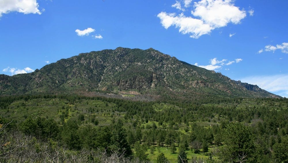
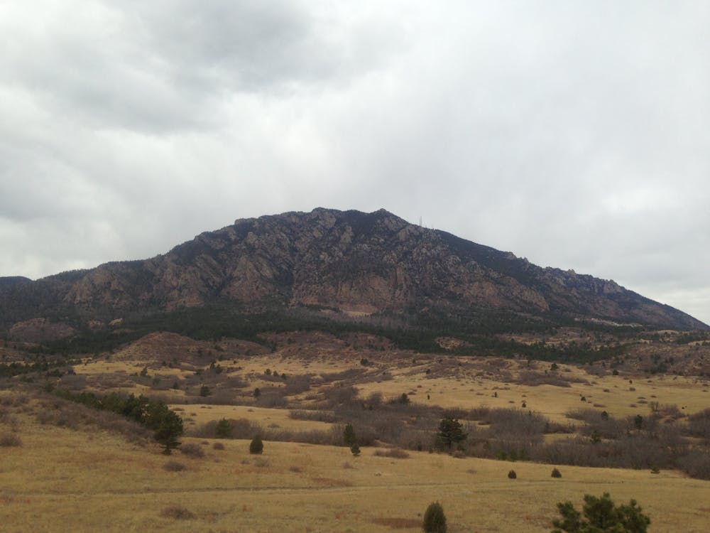
Cheyenne Mountain State Park Loop
One of Colorado's newest state parks boasts fantastic singletrack!
Trail Running Moderate
- Distance
- 19 km
- Ascent
- 482 m
- Descent
- 482 m
- Duration
- 2-3 hrs
- Low Point
- 1.8 km
- High Point
- 2.1 km
- Gradient
- 4˚

Cheyenne Mountain is one of Colorado's newest state parks, and it's already home to an expansive trail system that ranks among the best in Colorado Springs. The network here boasts over 28 miles of fantastic singletrack that can be combined in various ways to create hiking and trail running loops of both short and long distances.
- •
- •
- •
- •
Description
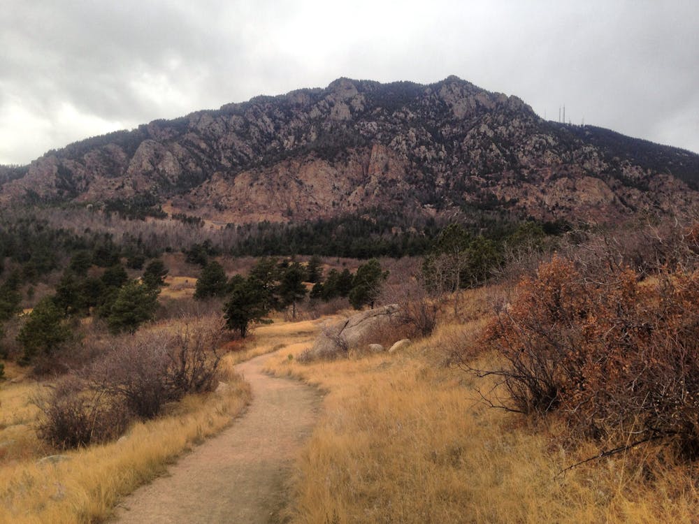
This 12-mile loop is one of the best ways to follow a consistent loop through the trail system with minimal backtracking. However, you can easily increase the mileage by adding in more of the cross trails, as well as the singletrack that connects to the campground.
The trails at Cheyenne Mountain are fairly up-and-down with a few punchy climbs and fast descents, but there aren't too many long, sustained climbs. Even so, this route gains and loses a respectable 1,581 vertical feet along its length.
While you'll find some of the trails to be fairly well strewn with rocks, you won't find any major rock gardens or technical test pieces. Instead, most of the rocks are classic Colorado Springs fair, with a few boulders and slabby bits.
Entry to the park costs $7 per day. There's also a fantastic campground here with modern facilities boasting 51 full-service campsites and 10 walk-in tent sites. Hiking or running straight from camp is a rare treat, so consider booking a camping reservation at Cheyenne Mountain for a true getaway.
Sources: CPW Singletracks.com
Difficulty
Moderate
Medium Exposure

The trail contains some obstacles such as outcroppings and rock which could cause injury.
Remoteness
Away from help but easily accessed.