2.3 km away
Fremont Peak from Tunnel Drive

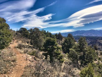
Fremont Peak: the hard way.
Difficult Trail Running
- Distance
- 17 km
- Ascent
- 807 m
- Descent
- 807 m
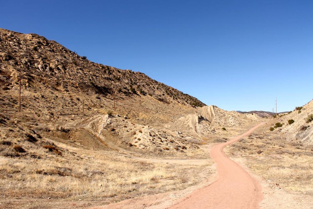
An easy but scenic run through the lower Hogbacks area.
Trail Running Easy

This short loop on the Graneros and Greenhorn Trails is quite easy and non-technical, but it still provides beautiful views and scenery from the lower Hogbacks area while being accessible directly from downtown Canon City!
The run, as mapped, begins from the Greenhorn trailhead on the south end of the loop, but there are multiple trailheads located along the western edge of Canon City that provide easy access to this loop. If you are living or staying close to one of these other trailheads, they make convenient access points. However, if you're driving to this trail, the best parking lot is found at the trailhead noted here.
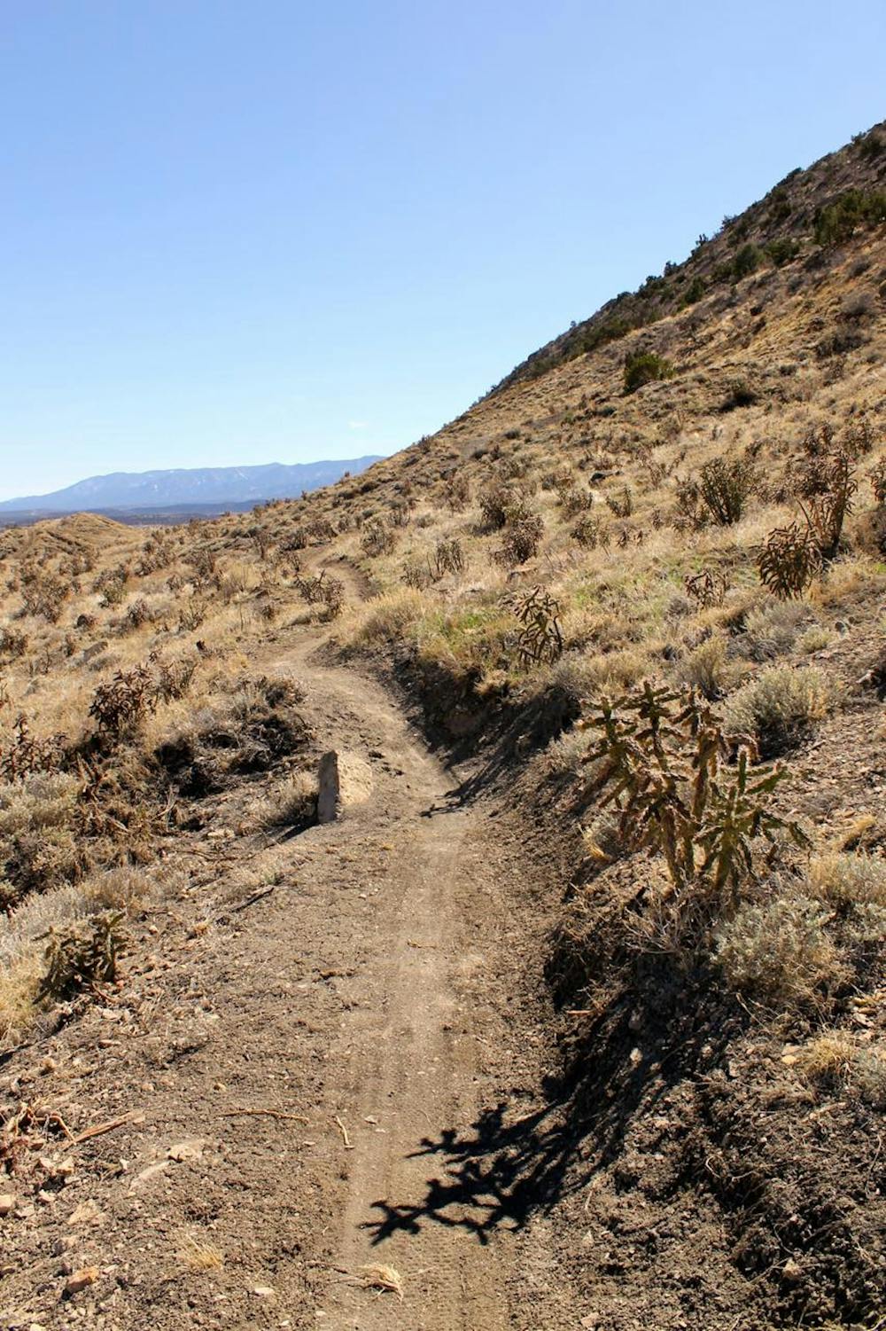
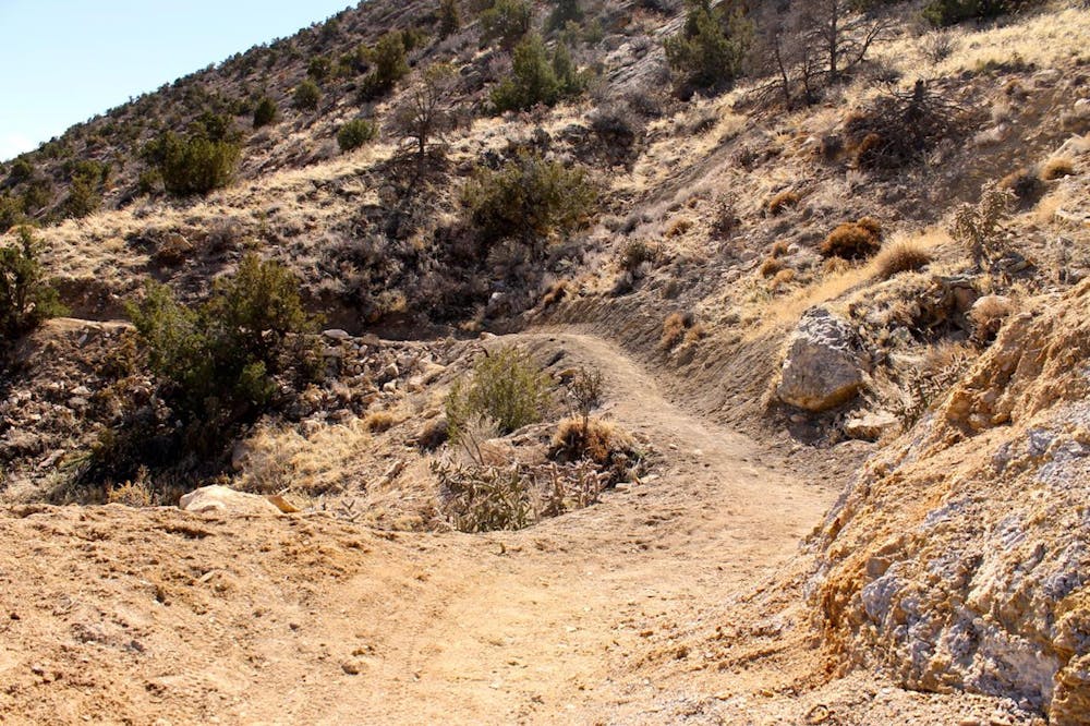
The route begins on the Graneros Trail—a flowy, smooth, non-technical machine-built singletrack trail. This trail climbs up low, mellow hills, providing scenic views off the tops of the rises before descending the opposite side and repeating several times along its length. None of the running here is technical or arduous, yet the views of the desert and the city below are still quite rewarding!
The return route follows a wide gravel path known as the Greenhorn Trail for a faster, easier return to the car. If you'd prefer to stick to singletrack, you could retrace your steps on Graneros instead. Or if you're looking for a much steeper and rockier challenge, consider the "Hogbacks" hike, mapped separately, which climbs all the way up to the spine of the ridge.
Easy

The path is on completely flat land and potential injury is limited to falling over.
Close to help in case of emergency.
2.3 km away
Fremont Peak: the hard way.
Difficult Trail Running
4.5 km away
The easiest way to the top of Fremont Peak.
Difficult Trail Running
5.8 km away
Run along the rim of the 1,250-foot-deep Royal Gorge.
Moderate Trail Running