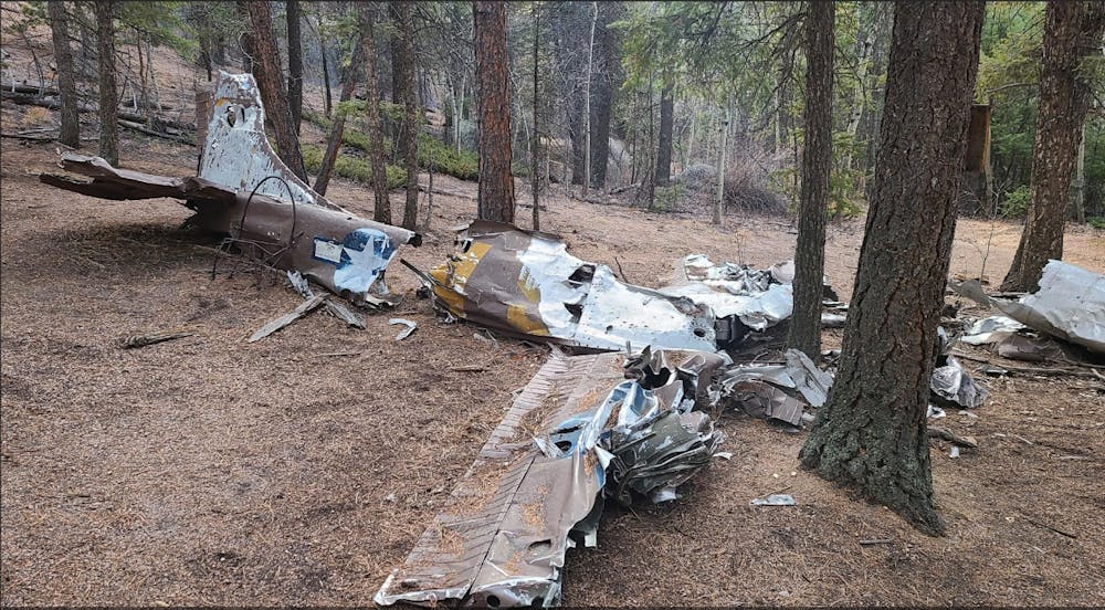
Harrison Crash Site
Out and back to Sydney Harrison Crash Site
Trail Running Difficult
- Distance
- 18 km
- Ascent
- 762 m
- Descent
- 764 m
- Duration
- 2-3 hrs
- Low Point
- 2.2 km
- High Point
- 2.6 km
- Gradient
- 11˚

This is a popular trail running route which is generally considered to be difficult. It's remote, it features low exposure and is typically done between May and November. From a low point of 2.2 km to the maximum altitude of 2.6 km, the route covers 18 km, 762 vertical metres of ascent and 764 vertical metres of descent.
Description
Climb above the first reservoir for a steady climb through the forests.
Difficulty
Difficult
Low Exposure

The path is on completely flat land and potential injury is limited to falling over.
Remoteness

Away from help but easily accessed.