401 m away
Desert RATS: Stage 1
The "Salt Creek" stage, connecting Loma to Rabbit Valley.
Moderate Trail Running
- Distance
- 31 km
- Ascent
- 615 m
- Descent
- 597 m
A gorgeous trail running loop above the Colorado River with relatively little climbing.
Trail Running Moderate

The Kokopelli Loops have long been popular with mountain bikers, with most of the trails having been built by mountain bikers, for mountain bikers. But as the popularity of trail running continues to increase, runners have begun flocking to these gorgeous singletrack trails—especially in the springtime, when the Rocky Mountains are still buried in snow. Trail running races and festivals, such as the Desert Rats, have helped increase the trail running popularity of the Kokopelli Loops.
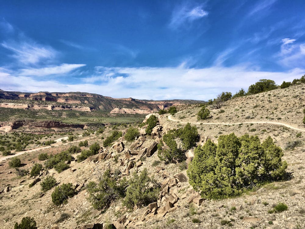
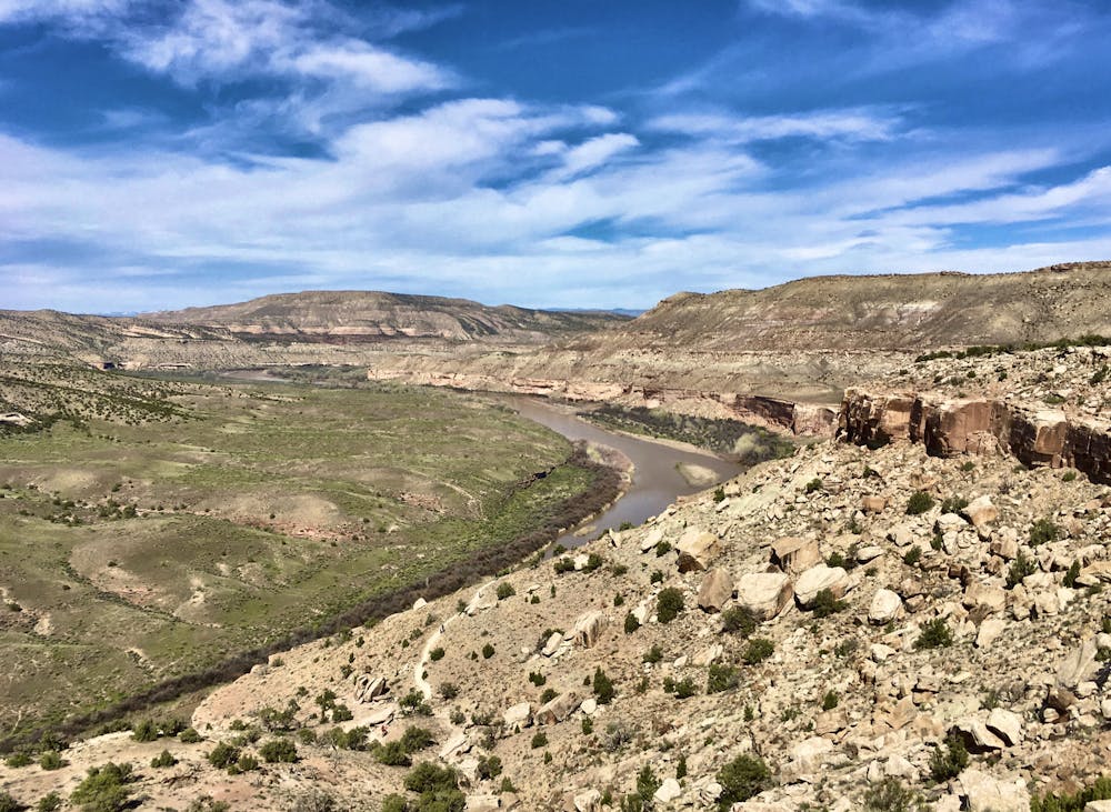
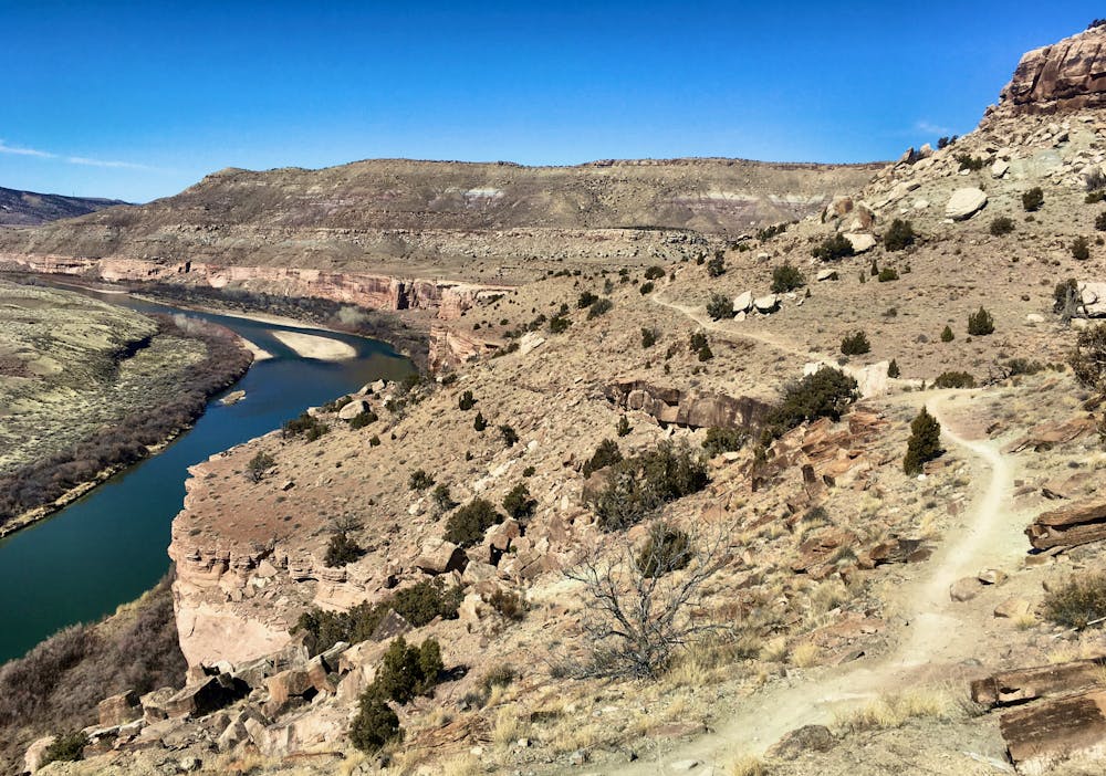
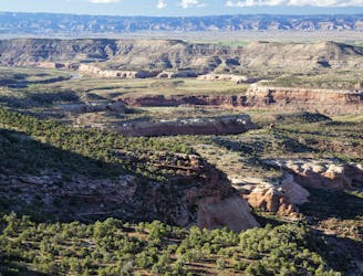
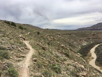
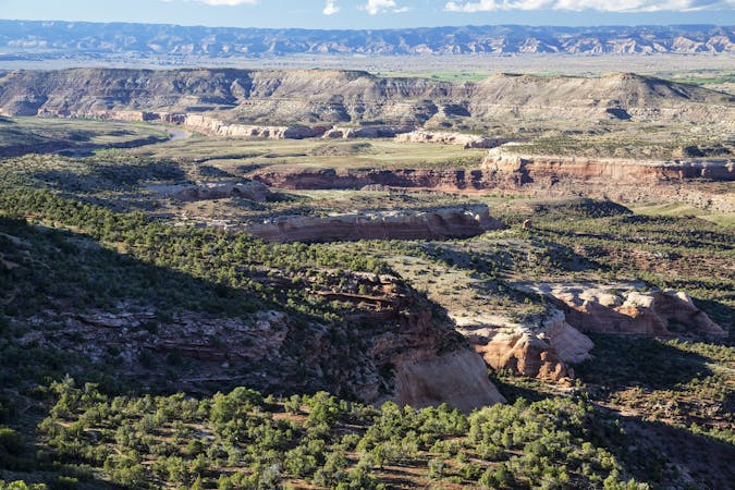
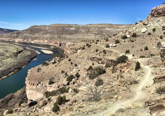
The route mapped here offers some of the best scenery in the Kokopelli Loops Trail System, providing breathtaking views of the Colorado River almost the entire way. The route begins on Mary’s, a popular trail that provides fantastic running along the ledge above the river. Sections of slickrock and doubletrack are interspersed with singletrack, providing an interesting trail character.
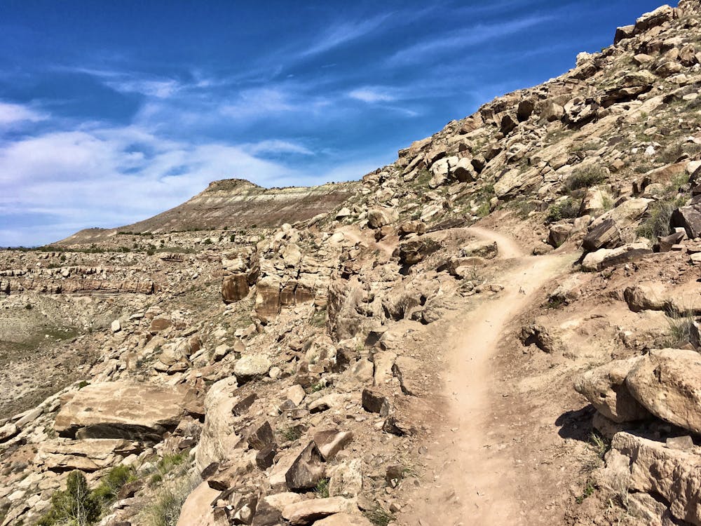
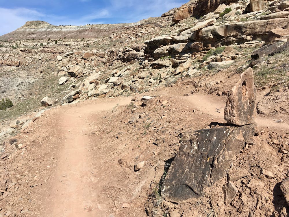
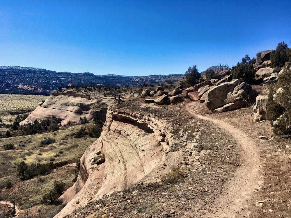
The return portion of this loop follows the Wrangler’s trail. This trail has been radically improved with new trail construction in 2019. The singletrack climbs up to a ridge and runs along the hilltop high above Mary’s. From Wrangler’s, you can look down and observe the path that you ran on your way out.
The singletrack here is well-built and perfect for running, both up and down the hillside. Wrangler’s is quite a bit steeper than Mary’s, with more climbing and descending overall. Bear this in mind—if you prefer to get the climb out of the way first, it might be best to run this loop in the opposite direction. Or if you prefer not to climb as much, you could opt for an out-and-back on Mary's.
All things considered, with just over 1,000 feet of climbing in 10 miles, this is an eminently runnable and quite flowy loop—perfect to get your legs used to the rhythms before you start crushing the big summer climbs in the Rockies!
Moderate

Some trail sections have exposed ledges or steep ascents/descents where falling could cause serious injury.

Away from help but easily accessed.
401 m away
The "Salt Creek" stage, connecting Loma to Rabbit Valley.
Moderate Trail Running
4.9 km away
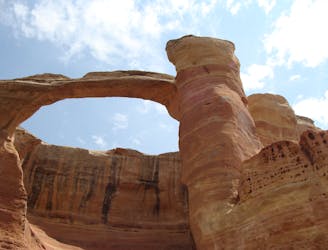
Run to the second-largest concentration of natural stone arches in the world!
Extreme Trail Running
5.5 km away
A lesser-travelled loop that's ideal for trail running.
Difficult Trail Running
5 routes · Trail Running
11 routes · Trail Running