2.7 km away
Black Ridge Trail
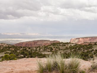
A beautiful backcountry trail with plenty of solitude.
Difficult Trail Running
- Distance
- 11 km
- Ascent
- 263 m
- Descent
- 263 m
A stunning sampler of the canyon's best rock sculptures.
Trail Running Difficult

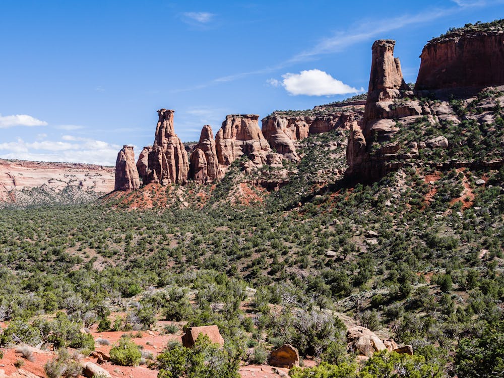
The Monument Trail from the Upper Monument trailhead is probably the most Grand Canyon-esque trail running experience in Colorado National Monument!
Like Grand Canyon running, this route starts by dropping down, down, down with a 60-foot' descent, which means ending with a stiff ascent. The entire length of the trail is 6 miles, so think about the return ascent when deciding when to turn around! Since there is a trailhead at each end, it is possible to undertake this trek as a one-way shuttle run. For a gorgeous day out, however, the run from the Upper Monument trailhead to Independence Monument is a worthy 7-mile outing.
This route is known for its views of some of the Monument's major rock sculptures, including the Coke Ovens, Kissing Couple and Independence Monument. It should also be known for the amazing trail that takes runners steeply down into the canyon. The rockwork is pure art, with steps carved directly into the surface in some places. Take a moment for gratitude to trail builders everywhere.
Spring is a wonderful season to run this trail: it is not yet too hot, and the wildflowers are simply breathtaking. At every turn, there are different natural wildflower arrangements that appear to be designed just for your pleasure.
After passing the Kissing Couple rock formation, continue to the base of Independence Monument. At 3.5 miles in, this is a good spot to stop, relax and enjoy a snack before heading back. Views of Independence Monument appear before you get to it; look carefully to see if there are any rock climbers scaling its wall. This is a popular climbing destination and seeing the tiny climbers on the massive rock formation gives a true sense of its massive size.
As with all desert runs, carry plenty of water and the 10 essentials!
The easiest access is via the East Entrance closest to Fruita. Drive 3.8 miles past the Visitor Center to the trailhead on the left side of Rimrock Drive, just past the Coke Ovens Overlook.
Difficult

The trail contains some obstacles such as outcroppings and rock which could cause injury.

Little chance of being seen or helped in case of an accident.
2.7 km away
A beautiful backcountry trail with plenty of solitude.
Difficult Trail Running
9.7 km away
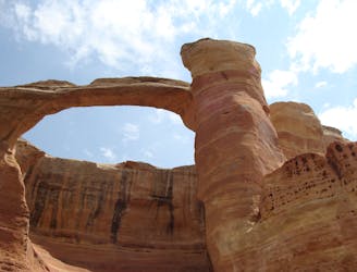
Run to the second-largest concentration of natural stone arches in the world!
Extreme Trail Running
11 routes · Trail Running