4 routes · Trail Running
A great mid-length trail run in Golden Gate Canyon
Trail Running Difficult

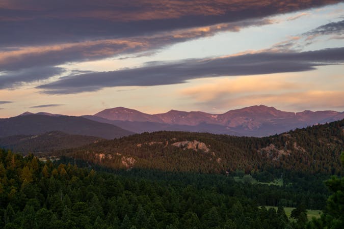
Golden Gate Canyon State Park is a haven for hikers and runners, protecting some of the most beautiful terrain on the Colorado Front Range. The park is separated from the urban centers and metropolitan sprawl of the Denver area, but it's still only 14 miles up the road from the town of Golden.
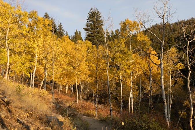
This almost 6-mile loop on the Mule Deer and Coyote Trails provides a fantastic medium-distance outing in Golden Gate Canyon State Park. This gorgeous loop offers varied terrain ranging from steep mountainsides, towering pine forests, whispering aspen groves, wide-open meadows, and panoramic views from high points. The climb up Coyote Trail is pretty steep, but the rest of the route is milder and flows along better.
Sources: https://cpw.state.co.us/placestogo/Parks/goldengateCanyon https://www.visitgolden.com/outdoors/parks/golden-gate-canyon-state-park/ https://www.uncovercolorado.com/state-parks/golden-gate-canyon/ https://en.wikipedia.org/wiki/GoldenGateCanyonStatePark
Difficult

The trail contains some obstacles such as outcroppings and rock which could cause injury.
Away from help but easily accessed.
4 routes · Trail Running
21 routes · Trail Running