Never Summer Traverse: Agnes-Howard
Shit rock sufferfest, awesome times.
Trail Running Difficult
- Distance
- 18 km
- Ascent
- 2 km
- Descent
- 2 km
- Duration
- 4-5 hrs
- Low Point
- 3.1 km
- High Point
- 3.9 km
- Gradient
- 25˚

This is a popular trail running route which is generally considered to be difficult. It's remote, it features high exposure and is typically done between May and October. From a low point of 3.1 km to the maximum altitude of 3.9 km, the route covers 18 km, 1956 vertical metres of ascent and 1954 vertical metres of descent.
- •
- •
- •
Description
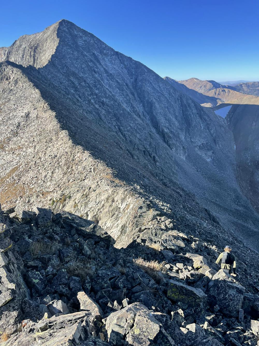
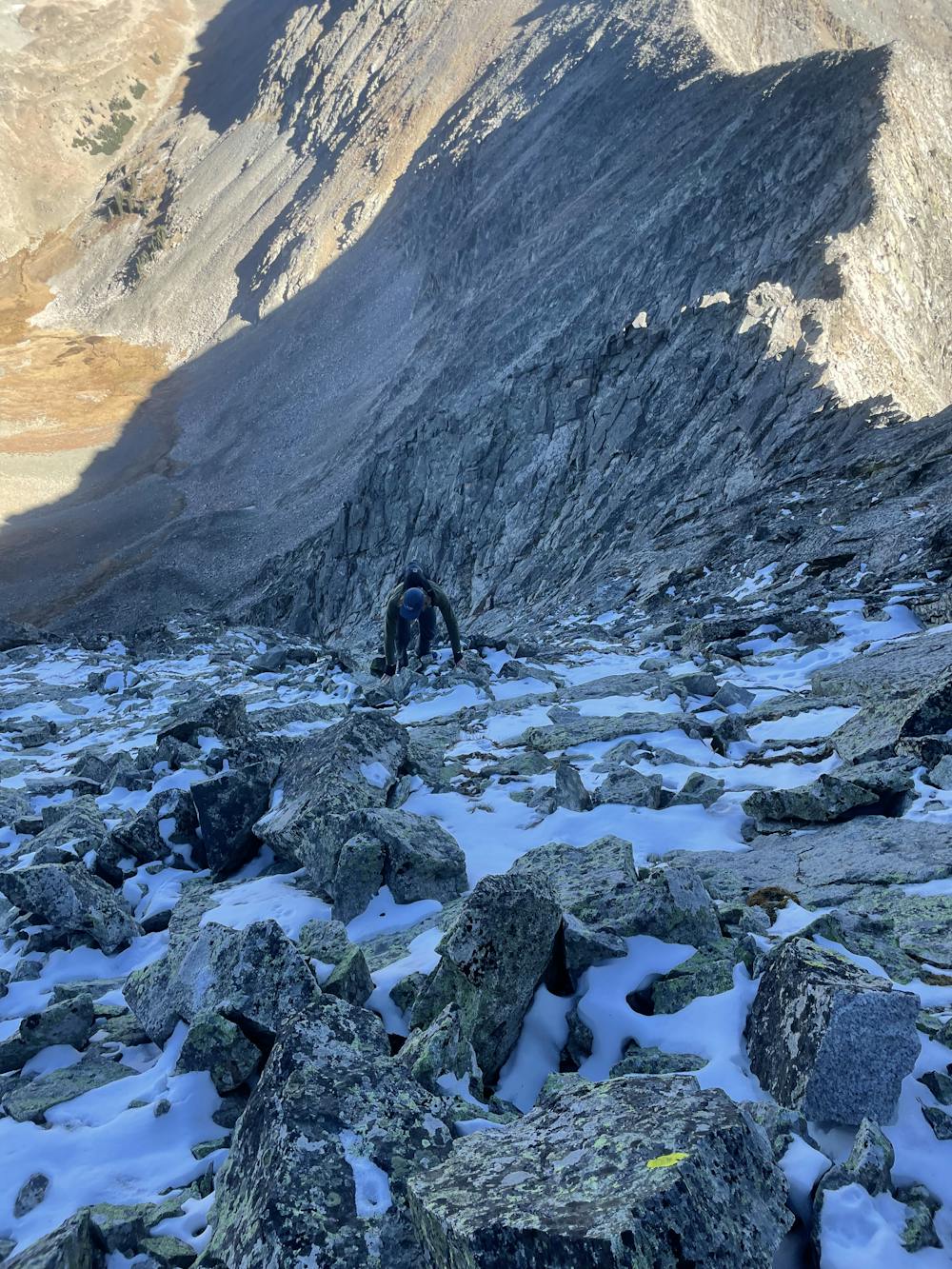
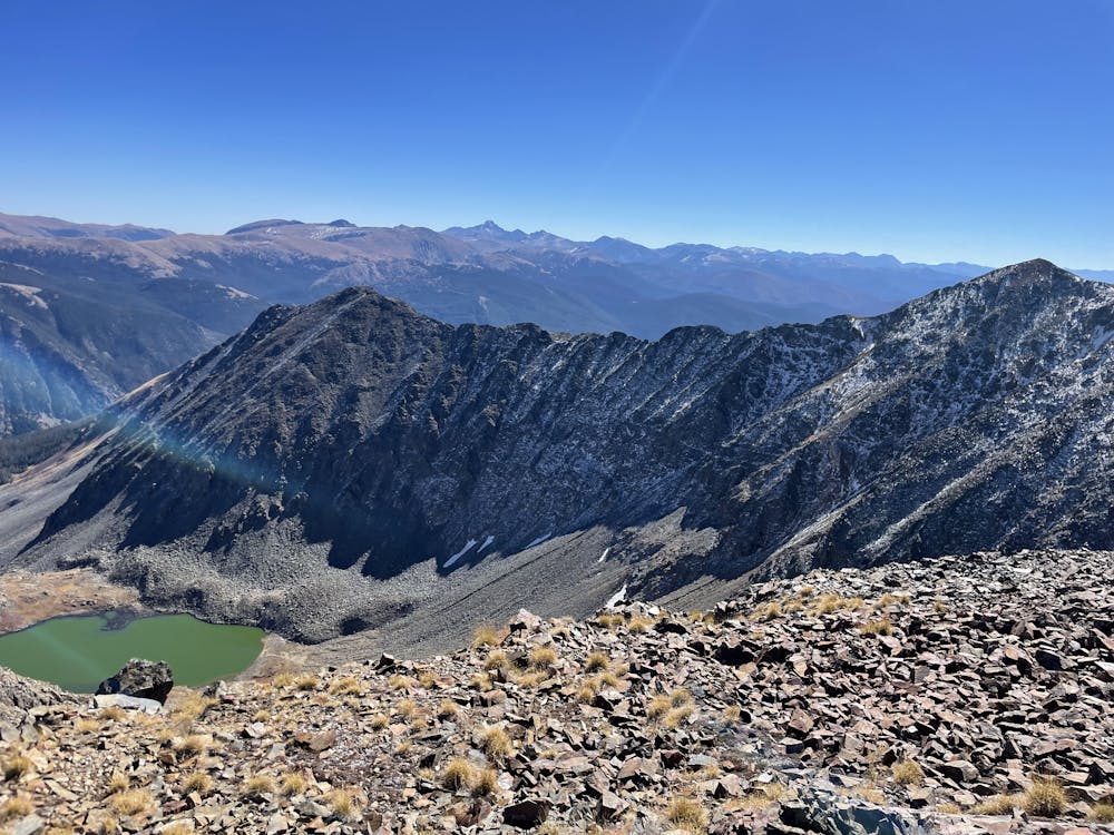
Tour of the never summer range, chossy ridges and fun scrambles. Alternative return route since we were feeling LETHAL (and the rock sucks)
Difficulty
Difficult
High Exposure

Some trail sections have exposed ledges or steep ascents/descents where falling could cause serious injury.
Remoteness

Away from help but easily accessed.