3 routes · Trail Running
A mellow area to trail run that skips the massive elevation gain of the nearby mountains.
Trail Running Easy

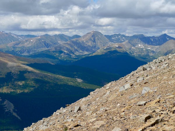
If you want to head out on a trail run and take in the beautiful Summit County scenery, but you don’t want to run on any of the trails that quickly wrack up thousands of feet of elevation gain, then check out the Soda Creek area. This beautiful area located between Keystone and Breckenridge is comprised of mellow, undulating hills with a mixture of dense pine forests and wide-open wildflower-filled meadows.
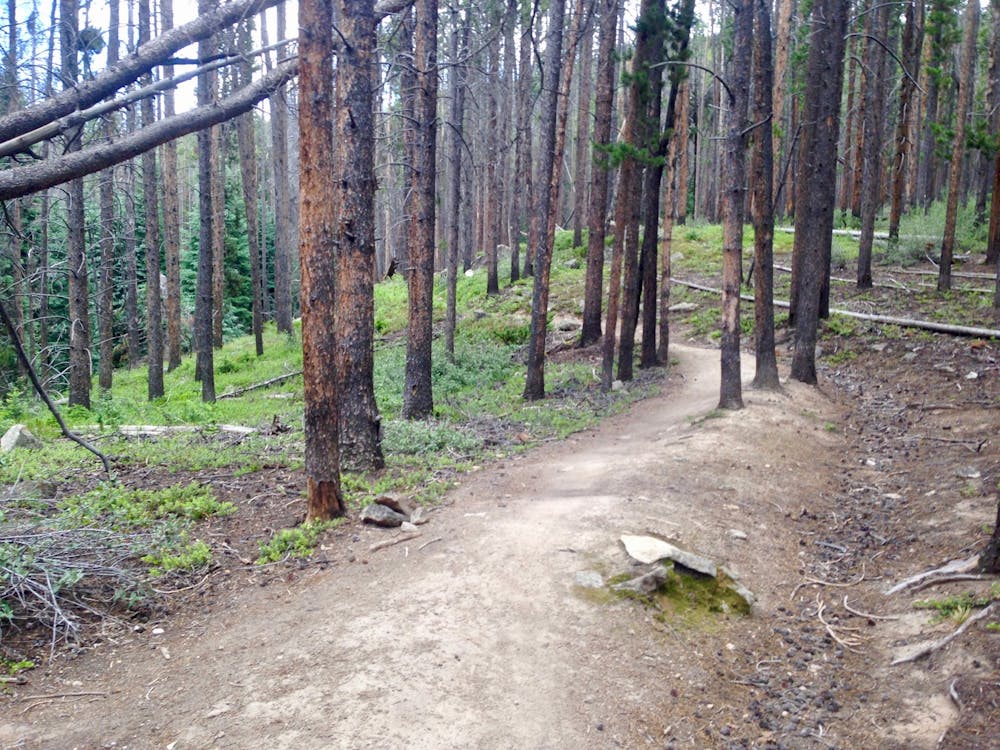
The running on these trails is easy and pleasant, with few rocks or obstacles to trip over. The beginning of the route mapped here is also the easiest and flattest zone. If you want to opt for an even shorter or flatter ride, consider turning around before you reach the Blair Witch loop at the southern end—this additional loop adds quite a bit more elevation gain.
If you decide that you’re not a fan of the sections of tight, dense pine forest, consider connecting to the Aqueduct trail for some water features and plenty of wide-open wildflower meadows.
Easy

The path is on completely flat land and potential injury is limited to falling over.

Away from help but easily accessed.
3 routes · Trail Running