Capital Crescent Trail
A popular rail trail in the Washington DC Metro Area.
Also in Maryland, United States of America
Hiking Easy
- Distance
- 11 km
- Ascent
- 63 m
- Descent
- 157 m
- Duration
- 2-3 hrs
- Low Point
- 4 m
- High Point
- 99 m
- Gradient
- 3˚
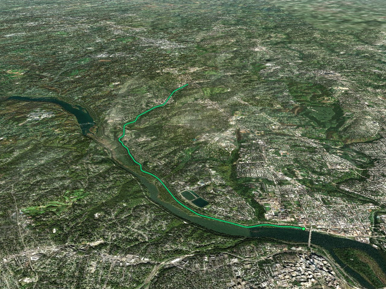
The Capital Crescent Trail is a shared-use rail trail that runs from Georgetown in Washington, D.C., to Bethesda, Maryland. It is one of the most popular trails in the nation, offering a scenic and convenient route for walkers, joggers, bikers, and rollerbladers.

- •
- •
Description
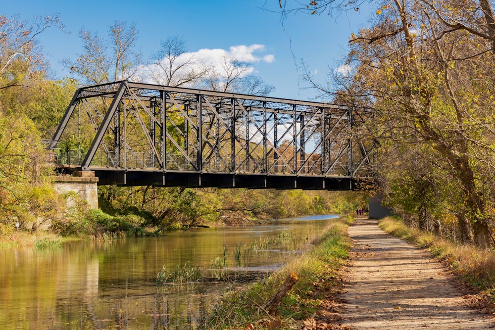
The trail follows the former route of the Georgetown Branch of the B&O Railroad, passing through historic and urban areas along the Potomac River. You can enjoy views of the river, the C&O Canal, and the Washington Monument as you travel along the paved trail. You can also explore the diverse neighborhoods and attractions along the way, such as Georgetown University, Fletcher's Boathouse, Glen Echo Park, and downtown Bethesda.
The Capital Crescent Trail is more than just a path; it's a journey of discovery and inspiration that showcases the natural beauty and cultural heritage of the Washington, D.C., area.
Sources: Coalition for the Capital Crescent Trail. https://www.cctrail.org/. Capital Crescent Trail | District of Columbia Trails | TrailLink. https://www.traillink.com/trail/capital-crescent-trail/. Capital Crescent Trail - Wikipedia. https://en.wikipedia.org/wiki/CapitalCrescentTrail. Conversation with Bing Chat
Difficulty
Easy
Walking along a well-kept trail that’s mostly flat. No obstacles are present.
Low Exposure

The path is on completely flat land and potential injury is limited to falling over.
Remoteness
Close to help in case of emergency.
Best time to visit
Features
- Historical
- Picturesque
- Water features
- Family friendly