1.5 km away
Anhinga Trail
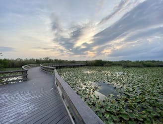
One of the best walks in the Everglades for viewing resident wildlife.
Easy Hiking
- Distance
- 1.4 km
- Ascent
- 2 m
- Descent
- 2 m
This hiking and biking trail extends miles into the Everglades’ formidable swamps, but stays high and (mostly) dry on a historic roadbed.
Hiking Easy

Old Ingraham Highway is one of only a few land trails in the Everglades with backcountry campsites. It’s also open to bicycles, so you have two possible modes to explore this wilderness and perhaps spend the night. This trail is exceptional for birding and spotting other wildlife because of the various habitats it crosses, and the distance it extends away from crowded areas. Watch for deer and small mammals on the drier ground, plus alligators and turtles in the wetlands.
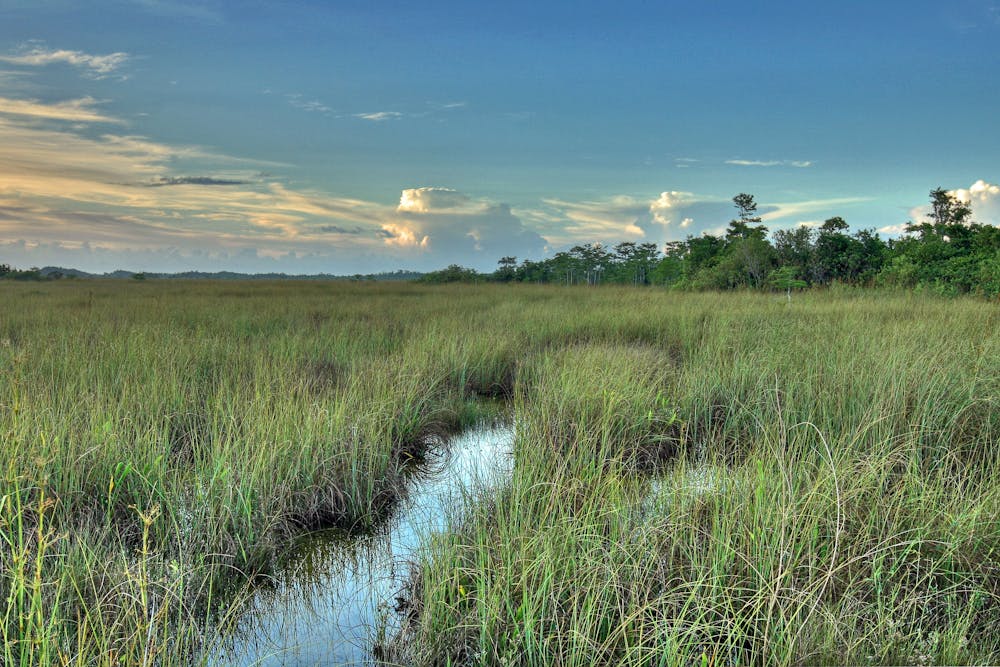
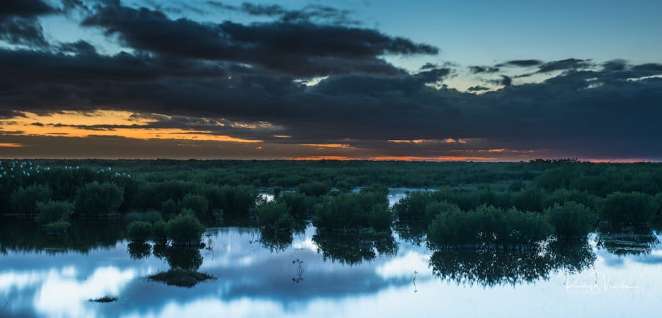
Though once an auto road, Ingraham Highway has been abandoned for decades. The crumbling pavement is becoming reclaimed by vegetation and soil, but the old road still provides a safe pathway across the swampy expanse. It borders a vast stretch of the “River of Grass”––the Everglades’ famous sawgrass marsh that seems to stretch on forever.
There are other plant communities along the trail as well. For much of its length, the path is bound on either side by dense hardwood vegetation, typical of the tropical hammocks that rise out of the wet prairies. Then there are cypress domes, which are stands of wetland trees with characteristic woody “knees” protruding from the soil. You’ll also see miles of marl prairie, which are seasonally flooded flatlands of low-growing vegetation.
Along the trail are two campsites, which are available with a wilderness permit. The first is Ernest Coe at about 3.5 miles from the trailhead. This site is nothing special, just a clearing of grass in a wooded area. The next is Ingraham campsite, a comfortable clearing in a copse of trees at the very end of the trail. It is possible, but difficult, to continue walking east of Ingraham to reach the main park road in another 2.5 miles. Returning the way you came is the recommended route.
Sources: https://www.nps.gov/ever/camping-fees.htm https://floridahikes.com/old-ingraham-highway
Easy
Walking along a well-kept trail that’s mostly flat. No obstacles are present.

The path is on completely flat land and potential injury is limited to falling over.

Little chance of being seen or helped in case of an accident.
1.5 km away
One of the best walks in the Everglades for viewing resident wildlife.
Easy Hiking
6 routes · Gravel Biking · Hiking

63 routes · Alpine Climbing · Hiking