5.2 km away
Johns Mountain and Keown Falls
A family-friendly hike with epic views and a beautiful waterfall.
Moderate Hiking
- Distance
- 7.5 km
- Ascent
- 319 m
- Descent
- 319 m
A segment of the Pinhoti known for the overlook atop Johns Mountain and the visit to Keown Falls.
Hiking Difficult

This segment of the 330-mile-long Pinhoti Trail begins at a small trailhead along East Armuchee Road. There is a gravel pull-off with adequate parking for a few cars, and the nearby Dry Creek Equestrian Trailhead serves as secondary parking.
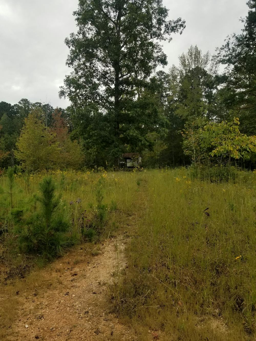
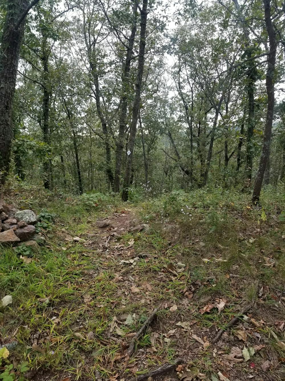
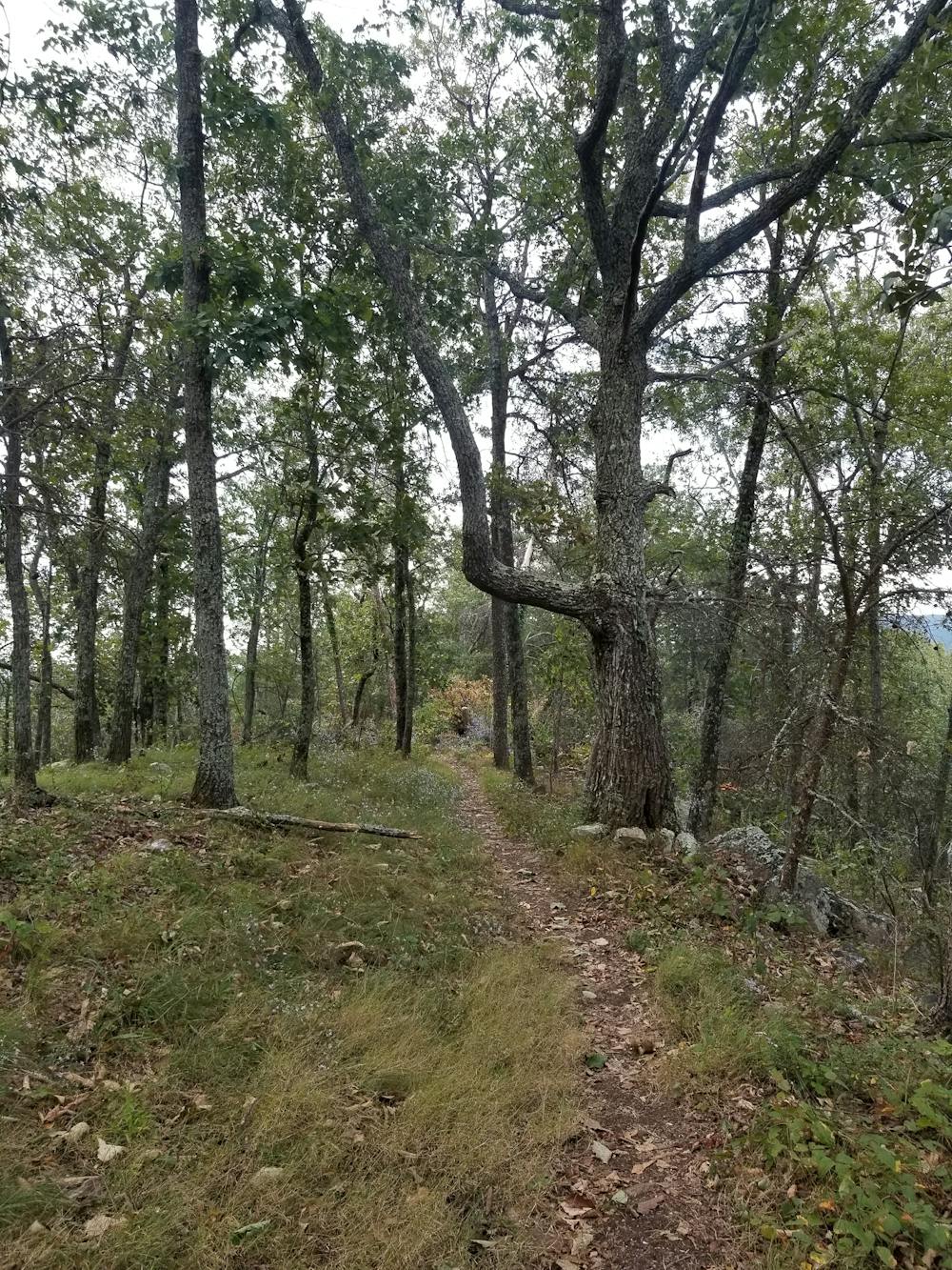
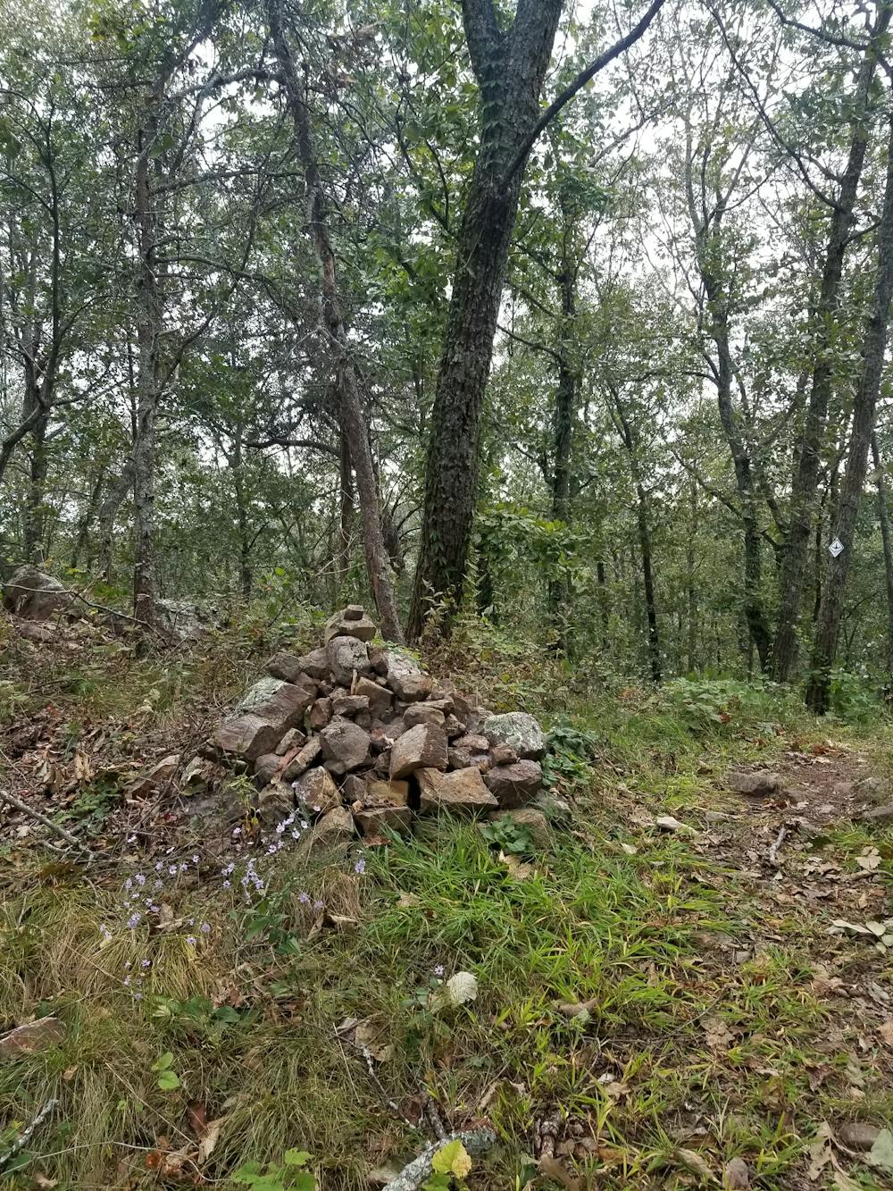
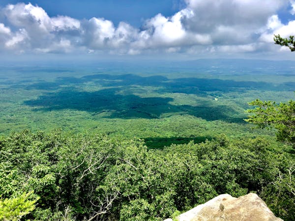
The segment begins by heading east into the Dry Creek trail network, then turns north and begins a long, steady climb up the west slope of Johns Mountain. Mostly following old two-track, the trail wraps around the northern edge of the mountain and merges onto Johns Mountain Overlook Road. A wooden platform provides some excellent views of the valley and is also accessible by car. The gravel road can be rough at points, but it is passable even without a high clearance vehicle.
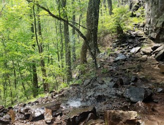
As the trail departs from the overlook, it gradually descends to another highlight of the segment: Keown Falls. According to Georgiatrails.com, "Gordon Keown (he pronounced his last name like Cowen), an alumnus of Berry College, surveyed much of Northwest Georgia, and these falls near the top of Johns Mountain are named in his honor."
Above the waterfall, you'll find an excellent observation deck, and a short trek down a flight of stairs gives you the opportunity to stand below them. The falls are best visited in the winter and spring months, as it is typically no more than a trickle during the summer.
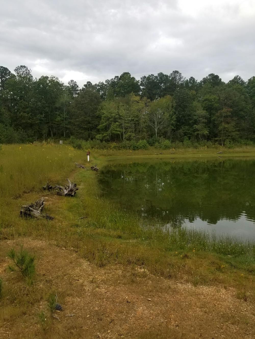
Ahead, the Pinhoti merges onto Pocket Road, heading north for a few hundred feet to another small trailhead along the road. Commonly referred to as the Pilchers Pond, the Pinhoti circles around the small namesake pond before beginning a gradual climb onto another ridge. Some partial winter views are available before the trail spirals down the east side to Snake Creek Gap.
Difficult
Hiking trails where obstacles such as rocks or roots are prevalent. Some obstacles can require care to step over or around. At times, the trail can be worn and eroded. The grade of the trail is generally quite steep, and can often lead to strenuous hiking.

The trail contains some obstacles such as outcroppings and rock which could cause injury.
Away from help but easily accessed.
5.2 km away
A family-friendly hike with epic views and a beautiful waterfall.
Moderate Hiking
10 routes · Hiking