10 routes · Hiking
A easier, yet remote, segment of the Pinhoti, with plenty of access points.
Hiking Moderate

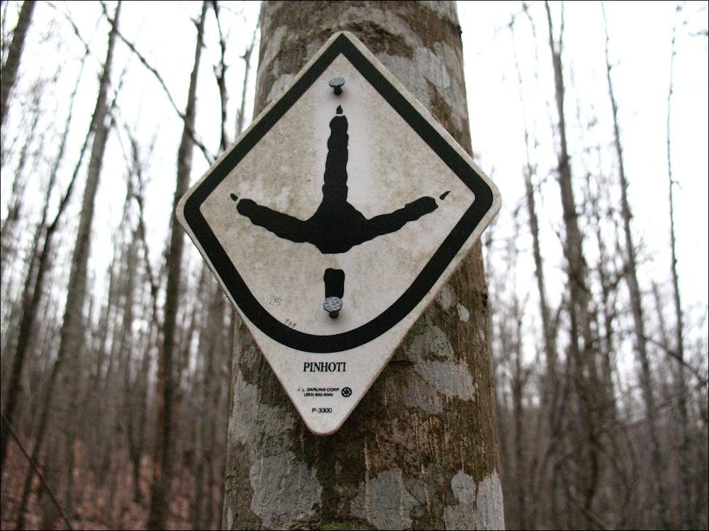
This Georgia segment of the 330-mile-long Pinhoti Trail is one of the easier portions of the trail as it passes through Georgia. While much of the route follows old logging and forest service roads, rugged singletrack still provides challenges, and some seasonal views can be expected. Multiple access points make this an excellent segment for shuttled hikes through remote country.
Located on GA-100, the southern terminus for this portion of the trail is a large gravel lot known as the High Point Trailhead. Between the trailhead and Mack White Gap, the Pinhoti follows a long ridgetop traverse, passing through James H. “Sloppy” Floyd State Park along the way. A two-mile spur trail connects to the state park, home to a picnic area, campground, and reliable water. Much of this segment can be dry during the warmer months, and every opportunity to resupply on water should be taken.
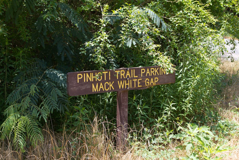
Mack White Gap sits roughly nine miles north into this segment, and a small parking area makes this another popular access point to reach some partial views near the radio towers. Heading north, the trail alternates between the ridge and its eastern slope.
About 3.5 miles north of Mack White Gap you may find some seasonal water, the last before continuing roughly 8 miles north to Narrows Road. There, the Pinhoti follows the road to the junction with West Armuchee Road.
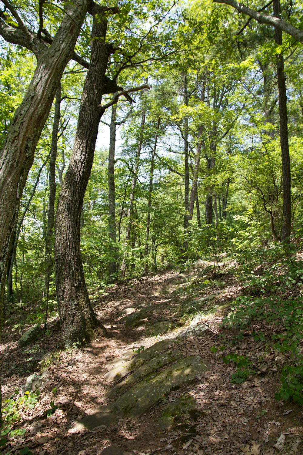
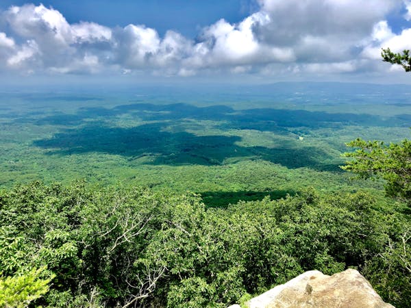
The final portion of this segment is frequently visited and known for its summit of Strawberry Mountain. From the south, the trail gradually undulates along old logging roads, making for an easy approach to the summit. Passing over the summit, the trail follows a series of switchbacks before providing you with some partial views to the east.
Shortly after, the Pinhoti follows multiple roads to the small trailhead on East Armuchee Road. To the east, the popular Dry Creek Trail System is home to countless miles of trail for hikers, mountain bikers, and equestrian users.
Sources: http://www.pinhoti.info/joomla/images/pinhotigeorgiatrailguide2018.pdf
Moderate
Hiking along trails with some uneven terrain and small hills. Small rocks and roots may be present.

The trail contains some obstacles such as outcroppings and rock which could cause injury.

Little chance of being seen or helped in case of an accident.
10 routes · Hiking